Alert
Alerts
Kerio
Description
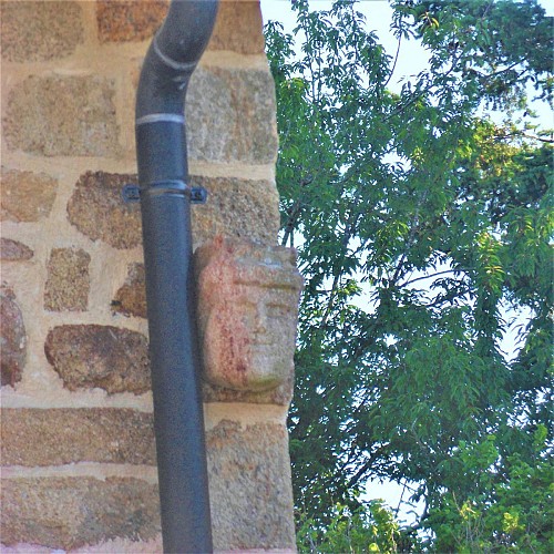
The organization of the village of Kerio has changed little in the last two hundred years. It is crossed by a main road linking it in the west to the old road to Plouay, and in the east to neighbouring fields and villages. The number of constructions has remained stable, but new houses were built at the end of the 19th century and in the 1980s. On the left is an alignment of three houses, one of which dates from the 16th century, still has inclines carved with a head. A well with pedestals and lintels and a lean-to are a reminder that the hamlet once consisted of at least four farms. On the other hand, the bread oven built at the eastern exit of the village was destroyed.
To the north of the hamlet a market gardening activity with large greenhouses has developed. In recent years, Caudan has seen an increase in the number of farms selling vegetables, meat and dairy products directly and through short distribution channels. Smaller in size, favouring sustainable and organic agriculture, they correspond to environmental expectations and current consumption patterns. The interest in old varieties has even brought the "Rouge de Caudan" potato out of oblivion.
