Alert
Alerts
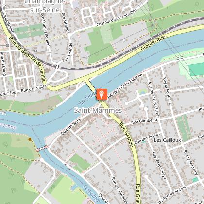
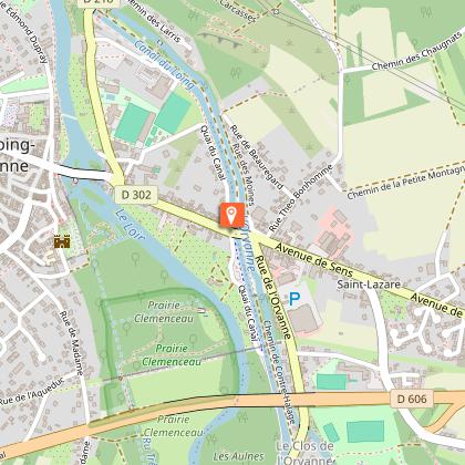
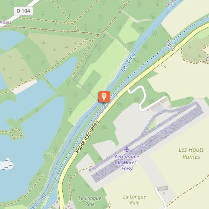
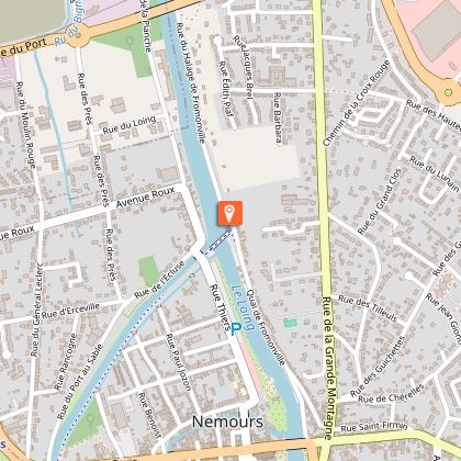
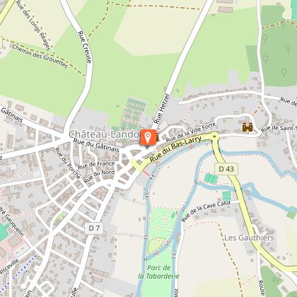
Southern Seine & Marne section of "The Scandibérique" – from Bois-le-Roi to Souppes-sur-Loing
Description
Bike ride on nearly 60 kilometers, the European bike route follows the Seine and runs along the Loing. You'll have the opportunity to discover the river and its tributaries through an invigorating panorama, between classified forest and preserved natural areas.
Along the way, you will cross villages of character and admire the remarkable heritage that plunges you into the history of France: castles, medieval cities, museums, churches and beautiful homes punctuate the landscape...
Technical Information
Altimetric profile
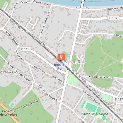
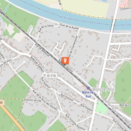
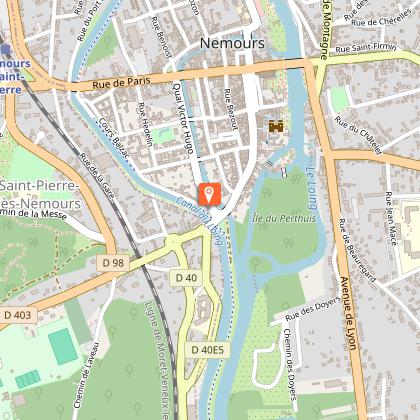
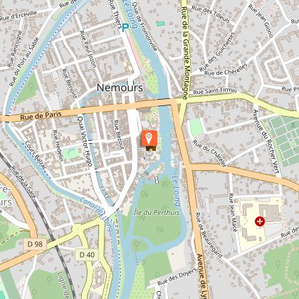
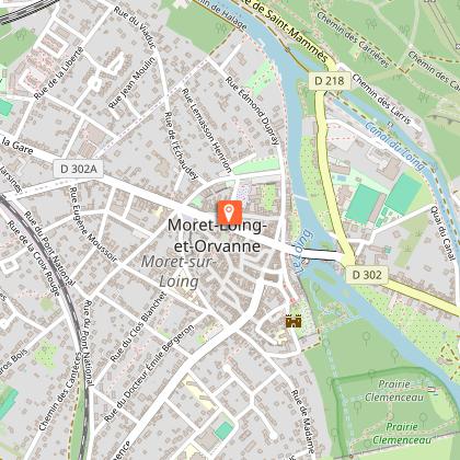
Starting point
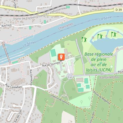
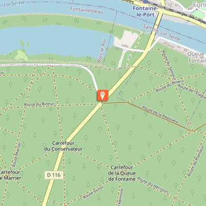
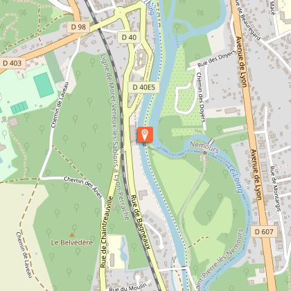
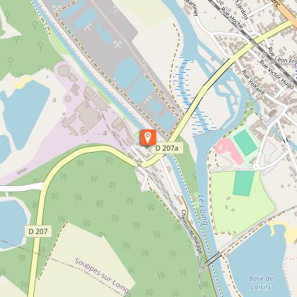
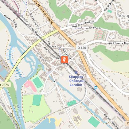
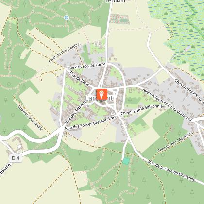
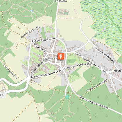
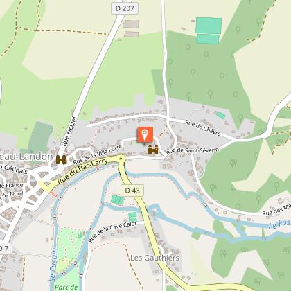
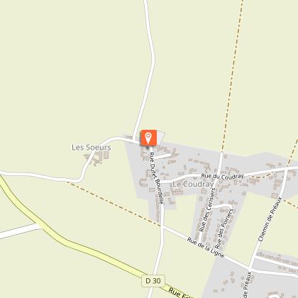
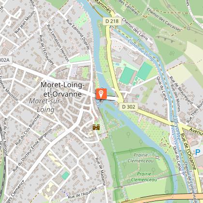
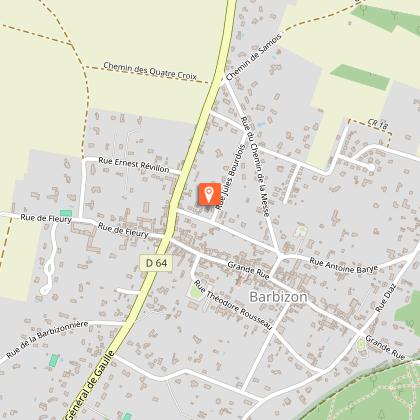
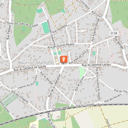
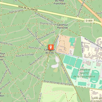
Steps
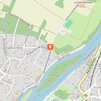

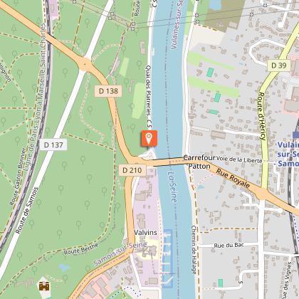
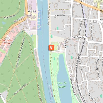
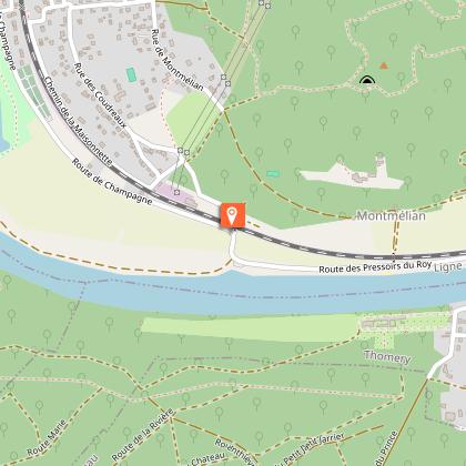
Points of interest


Additional information
Updated by
Seine et Marne Attractivité - 20/05/2026
www.tourisme-seine-et-marne.fr/
Report a problem
Services for cyclists
Safety instructions and good practices:
- Respect the French highway code and remain vigilant on and near all roads, particularly at intersections and when crossing départementales (secondary roads) and passing over bridges. To that end, carefully read the guide provided for each itinerary.
- Wear a properly fitting helmet. At night and in bad weather, wear a fluorescent vest with reflective bands and carry a proper torch/flashlight.
- Restrictions for children under 12: make sure that the loop you want to follow is well suited to your children.
- After every picnic, leave no trash behind, and respect the wild flora and fauna.
- Prior to departure, make sure that your smartphone or tablet is sufficiently charged. Consider taking along a charger.
- If you happen to notice any anomaly while following an itinerary, please don’t hesitate to write us! We value all such observations and remarks.
Open period
All year round daily.
Contact
Phone : 01 60 39 60 39
Email : info@attractivite77.fr
Website : https://www.scandi77.com/
Facebook : https://www.facebook.com/77VivreEnGrand
Data author

The Cirkwi brief
Embark on a journey through the enchanting landscapes of south Seine-et-Marne with the Scandibérique route, a treasure proposed by Seine et Marne Attractivité. This 60 km cycling adventure along the Seine and Loing rivers offers more than just a physical exercise; it's a gateway to the soul of France. From the dense, classified forests to the preserved natural spaces, every pedal brings you closer to the heart of French history and culture. Through villages brimming with character and landscapes dotted with historical landmarks, the experience transcends mere sightseeing. Feel the breeze, soak in the vibrant atmospheres, and become part of the living tapestry that is this region.
Brief Technical Overview
This 54.9 km long route boasts a maximum altitude of 78 meters and a minimum of 41 meters. Riders should prepare for a total positive elevation gain between 217 and 225 meters. Despite the relatively modest inclines, this undulating terrain can provide a moderate challenge, making it perfect for intermediate cyclists. The journey from Bois-le-Roi to Souppes-sur-Loing is marked by an array of technical features that enhance the cycling experience, demanding both stamina and strategy. Essentially, it offers a balanced mix of physical exertion and scenic enjoyment.
Seasonal Tips and Safety
Embarking on this cycling adventure requires thoughtful preparation. Spring offers blooming landscapes, yet paths may be wet; ensure your bike is equipped for mud. Summer promises verdant views, but hydration is key under the sun. Autumn brings a kaleidoscope of colors, although fallen leaves can be slippery. Winter, though bleak, has its own stark beauty, but icy conditions call for caution. Always wear a helmet, keep a repair kit handy, and inform someone of your itinerary. Embracing these recommendations enhances safety and enjoyment, regardless of the season.
Historic Gems of Seine-et-Marne
The region of Seine-et-Marne is steeped in a rich tapestry of history and culture, acting as both guardian and showcase of France's heritage. From Bois-le-Roi's inviting doorstep through to Souppes-sur-Loing, this route is a living museum under the open sky. It threads through areas that have witnessed centuries of history, from medieval battles to Renaissance artistic flourishes. The castles, churches, and museums along the way are not mere attractions but storybooks carved in stone, inviting you to uncover the narratives that shaped this captivating region of France.
Weather Insights for Optimal Visit
Understanding Seine-et-Marne's Climate
\nThe climate in Seine-et-Marne is predominantly oceanic, characterized by mild winters and pleasant summers, making it accessible for cycling year-round. For the ideal experience, plan your journey between late spring and early autumn. During these seasons, the weather is most favorable, with minimal rainfall and temperatures that are neither too hot nor too cold. Always check the forecast ahead of your tour, as weather conditions can fluctuate, potentially impacting your cycling experience.