Alert
Alerts
Type of practice
Mountainbiking
Medium
4h
Presentation
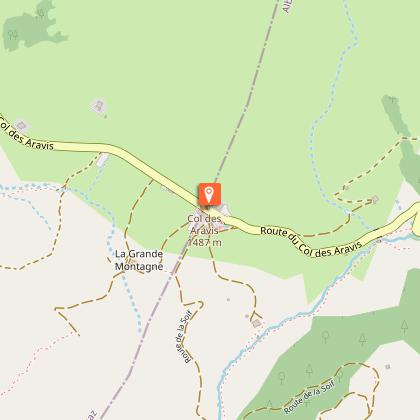
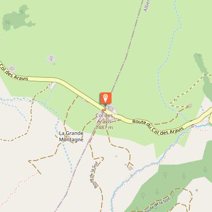
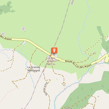
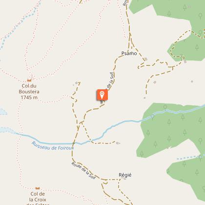
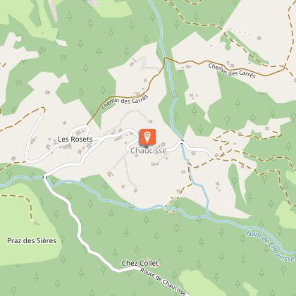
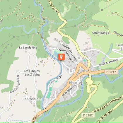
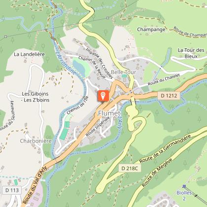
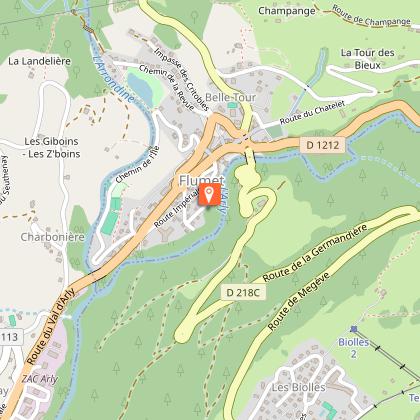
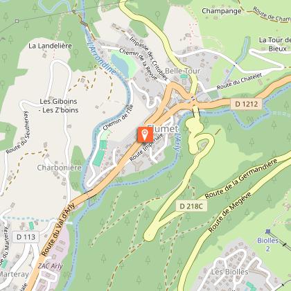
Map
Points of interest
Ratings and reviews
See around
Col des Aravis - Bogneuve - Chaucisse - Flumet

Technical Information
Mountainbiking
Difficulty
Medium
Duration
4h
Dist.
16 km
Type of practice
Mountainbiking
Medium
4h
Show more
Altimetric profile
Starting point
73590
La Giettaz
Lat : 45.872046Lng : 6.465311
Points of interest


Date and time
- From 01/05/2026 to 31/10/2026
Additional information
Updated by
Office de Tourisme du Val d'Arly - 10/10/2025
www.valdarly-montblanc.com
Report a problem
Open period
С 01/05 до 31/10.
Contact
Phone : 04 79 32 91 90
Email : sentiers@valdarly-montblanc.com
Data author

Ratings and reviews
To see around