Tours
Activities
Places of interest
Where to eat
Where to sleep

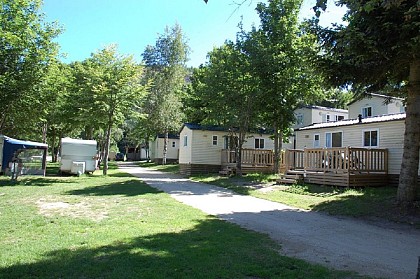
Camping Les Eaux Vives in Saint-bonnet-de-montauroux

Are you the owner?
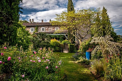
Welcome to Camping Les Eaux Vives, where every day brings a new adventure in Saint-bonnet-de-montauroux, located in the breathtaking Lozère, Languedoc-Roussillon. Uncover the natural wonders of the region by exploring the Causses and the Cévennes, a UNESCO World Heritage site.

Immerse yourself in local history by visiting picturesque villages such as La Garde-Guérin, a charming fortified medieval...
See more

Walking around CAMPING LES EAUX VIVES

See more suggestions
Hiking routes in CAMPING LES EAUX VIVES.
See more suggestions
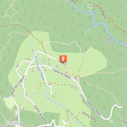
Du Gévaudan au Velay
6.4 km

Du Gévaudan au Velay

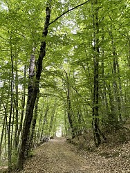
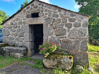
Beautiful panoramas that deserve to be admired at length. Cross the village square, keeping to the left of the trailhead sign so that the war memorial and fountain are behind you. Take the right-hand street at the fork and head towards the fountain opposite, against a wall. At the fountain, turn right between the houses, then right again at the next intersection. The route descends; continue straight ahead until you reach a fork. Turn left and follow the path between hedges or stone walls to reach the village of Freissenet. At the intersection, turn left, then immediately right. Turn left again, go behind the buildings, and follow the path as it climbs gently until you reach the road. Turn right, then right again for a few meters, continuing along the D32. Cross the departmental road just before a stone cross. Take the path opposite, which leads towards the houses and cuts across the switchbacks of the D325, and descend to the church square in Saint-Vénérand. Continue along the road and at the next intersection near the farms, take the left-hand path. Enter the beech forest and walk through it. At the end of the walk (there is a risk of flooding in wet weather), you will reach the edge of the hamlet of Ménial. Take the road to the right and, 100 meters further on, turn right again onto a farm track; follow it straight ahead for about 1 km until you reach a sharp right turn. Take the path to the right and then immediately to the left (if there is an electric fence, return to the previous intersection by going straight ahead to the road and then turn right to reach the houses). At the houses, leave the road and take the path to the right. Cross the D32 (caution) at the place called La Pierre Plantée and continue straight ahead until you reach the D 59 road; take it on the left (caution) to return to the starting point.

3 h
8.8 km
Medium
Show
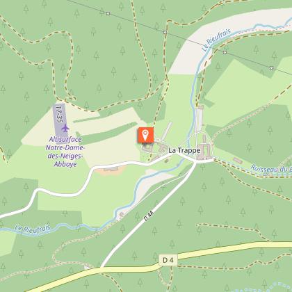
Bel Air
8.8 km

Bel Air

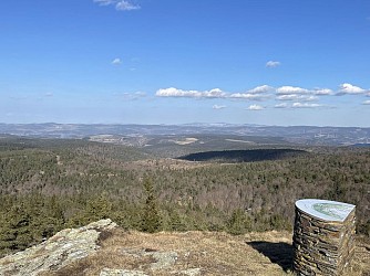
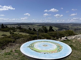
Beautiful views of the Haute-Loire hills Join the main crossroads in the center of the village of Saint-Symphorien. Turn right, then, a few meters further on, take the gravel path on the left leading to the orientation table. Return to the junction and turn left onto the paved road. Walk alongside the houses of the hamlet of Pissepeau, continuing straight ahead on the road to reach the entrance of the hamlet of La Vialatte. At the crossroads, cross the road, leave the village on your right, and follow the path opposite, continuing straight ahead to the hamlet of Donaldès. Go straight ahead and cross the hamlet. Turn right onto the path that climbs uphill, keeping the various intersections on your left, and continue straight ahead to reach a crossroads. Turn right to reach the hamlet of Beysserettes; cross through it. Take the left-hand path, which continues as a track (pay attention to the trail markers). Take the track that winds its way into the woods. At the next junction, turn right and continue to the following intersection. Turn right again and enter the forest; follow the grassy path that runs along the edge of a field bordered by a low wall and a hedge of trees on its right. You will cross through large woods, continuing straight ahead between barbed wire fences and stone walls. At the edge of the woods, turn right, walk alongside farmland on your left, and pass near the Mas Chambaud farm. At the next junction, take the left-hand path. You will see the steeple of the church of Saint-Symphorien and, further on, the Margeride mountain range (Col de la Baraque des Bouviers, 1,400 m, to the west) on the horizon. Return to the starting point by road.

3 h
8.1 km
Medium
Show

What to do in CAMPING LES EAUX VIVES

See more suggestions
Organize your days in CAMPING LES EAUX VIVES with bookable activities for the whole family.
See more suggestions

What to visit in CAMPING LES EAUX VIVES

See more suggestions
Stroll through the historic districts of CAMPING LES EAUX VIVES.
See more suggestions
Where to eat in CAMPING LES EAUX VIVES

See more suggestions
Chefs in CAMPING LES EAUX VIVES will delight you.
See more suggestions

Where to sleep in CAMPING LES EAUX VIVES

See more suggestions
Enjoy your stay with accommodations in CAMPING LES EAUX VIVES.
See more suggestions
Caution!
We have no information on the difficulty of this circuit. You may encounter some surprises along the way. Before you go, please feel free to inquire more and take all necessary precautions. Have a good trip! 🌳🥾