Alert
Alerts
Bel Air


Description
Beautiful views of the Haute-Loire hills
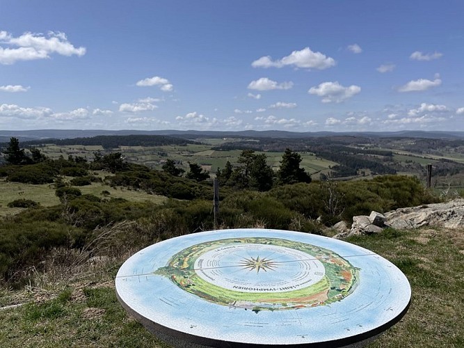
Join the main crossroads in the center of the village of Saint-Symphorien. Turn right, then, a few meters further on, take the gravel path on the left leading to the orientation table.
Return to the junction and turn left onto the paved road. Walk alongside the houses of the hamlet of Pissepeau, continuing straight ahead on the road to reach the entrance of the hamlet of La Vialatte.
At the crossroads, cross the road, leave the village on your right, and follow the path opposite, continuing straight ahead to the hamlet of Donaldès. Go straight ahead and cross the hamlet.
Turn right onto the path that climbs uphill, keeping the various intersections on your left, and continue straight ahead to reach a crossroads. Turn right to reach the hamlet of Beysserettes; cross through it.
Take the left-hand path, which continues as a track (pay attention to the trail markers).
Take the track that winds its way into the woods. At the next junction, turn right and continue to the following intersection.
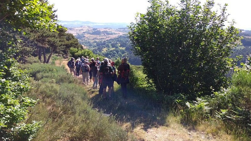
Turn right again and enter the forest; follow the grassy path that runs along the edge of a field bordered by a low wall and a hedge of trees on its right. You will cross through large woods, continuing straight ahead between barbed wire fences and stone walls.
At the edge of the woods, turn right, walk alongside farmland on your left, and pass near the Mas Chambaud farm. At the next junction, take the left-hand path. You will see the steeple of the church of Saint-Symphorien and, further on, the Margeride mountain range (Col de la Baraque des Bouviers, 1,400 m, to the west) on the horizon. Return to the starting point by road.
Technical Information
Altimetric profile
Starting point
Additional information
Advised parking
Near the Church
Access
30 km northwest of Langogne via the D26, D5, D585
Ambiance
"Bel Air" was the revolutionary name for Saint-Symphorien (altitude 1,200 m). "Symphorien" means "He who is carried with oneself" or "He who carries us with him," that is to say, someone whose presence is satisfactory.
Arrival
Saint Symphorien
Departure
Saint Symphorien
Data author
