Alert
Alerts
Grande Traversée du Massif Central - Lozère Section
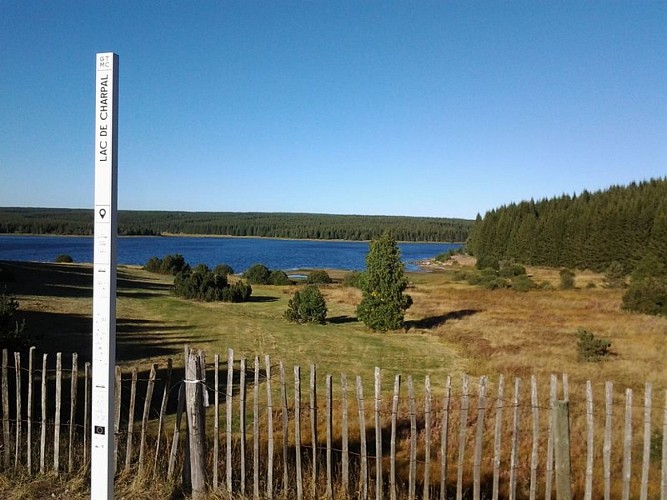
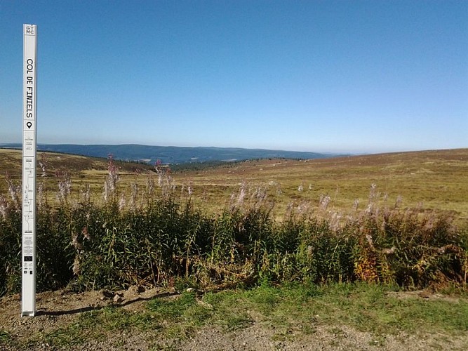

Description
A total of 1390 km between the Morvan and the Mediterranean! A journey through a range of landscapes, geological and heritage sites, to be discovered at your own pace by mountain bike or e-MTB, with friends or family.
Only the section of the route crossing Lozère and Haute-Loire is presented here, from Mont Mouchet to Mont Aigoual.
The proposed route can be completed in 7 stages:
- Mont Mouchet/Paulhac en Margeride/Les Bouviers,
- Les Bouviers/Le Giraldès,
- Le Giraldès/Bagnols-les-Bains,
- Bagnols-les-Bains/Pont-de-Montvert-Sud-Mont-Lozère,
- Pont-de-Montvert-Sud-Mont-Lozère/Ste-Enimie:(1) For e-MTBs, take the road towards Grizac,
(2) At the leisure center, cross the Tarn River and descend to Ste-Enimie by road,
- Ste-Enimie/L’Hom: (3) Technical trail leading to St Chély du Tarn; possibility of climbing to the Col de Coperlac from Ste-Enimie via the RD 986 road,
- L’Hom/Mont Aigoual
Find the complete route on the website : www.la-gtmc.com
Technical Information
Altimetric profile
Starting point
Additional information
Advice
" Attention aux troupeaux et aux chiens de protection au travail ! »Soyez attentifs lors de vos sorties, vous pouvez être amenés à rencontrer des troupeaux protégés par des chiens de protection (patous). Si vous êtes approchés par des patous, arrêtez de courir ou descendez de vélo et marchez tranquillement pour vous éloigner du troupeau. Surtout, ne menacez pas les chiens avec un bâton ou des cailloux, cela renforcerait leur sentiment de menace.Pour tout savoir sur le comportement à adopter, cliquez ici .En cas d'incident, vous pouvez le signaler auprès des services de l'Etat en cliquant sur le lien suivant Adaptez votre équipement à la randonnée de plusieurs jours et aux conditions météo. N'oubliez pas que le temps change vite en montagne. Pensez à emporter de l'eau en quantité suffisante. Refermez soigneusement les clôtures et les portillons. Ralentir dans les fermes et les hameaux.
Ambiance
From the granite lands of the Margeride to the majestic forests of Aigoual, passing through Mont Lozère and the vast limestone plateau of the Causse Méjean, carved by the spectacular gorges of the Tarn and the Jonte, you will cross breathtaking landscapes! Set off to discover the fauna and flora of these massifs and to meet people who live there
Arrival
Mont Aigoual
Departure
Mont Mouchet
Data author
