Tours
Activities
Places of interest
Where to eat
Where to sleep
Camping Les Eaux Vives in Saint-bonnet-de-montauroux
Are you the owner?Welcome to Camping Les Eaux Vives, where every day brings a new adventure in Saint-bonnet-de-montauroux, located in the breathtaking Lozère, Languedoc-Roussillon. Uncover the natural wonders of the region by exploring the Causses and the Cévennes, a UNESCO World Heritage site.
Immerse yourself in local history by visiting picturesque villages such as La Garde-Guérin, a charming fortified medieval...See more
Immerse yourself in local history by visiting picturesque villages such as La Garde-Guérin, a charming fortified medieval...See more
Walking around CAMPING LES EAUX VIVES
See more suggestionsTake a walk around CAMPING LES EAUX VIVES.
See more suggestions


")


")

What to do in CAMPING LES EAUX VIVES
See more suggestionsThe best experiences in CAMPING LES EAUX VIVES are just a click away, book now.
See more suggestions


IGN cards

2736SB - SOLIGNAC-SUR-LOIRE CAYRES MONISTROL-D'ALLIER
Editor : IGN
Collection : TOP 25 ET SÉRIE BLEUE
Scale : 1:25 000
13.90€

TOP100D48 - LOZÈRE MENDE FLORAC-TROIS-RIVIÈRES PARC NATIONAL DES CÉVENNES GORGES DU TARN ET DE LA JONTE
Editor : IGN
Collection : TOP 100
Scale : 1:100 000
8.40€

TOP100D07 - ARDÈCHE PRIVAS AUBENAS VALLON-PONT-D'ARC PNR DES MONTS D'ARDÈCHE
Editor : IGN
Collection : TOP 100
Scale : 1:100 000
8.40€

TOP100D43 - HAUTE-LOIRE LE PUY-EN-VELAY BRIOUDE GORGES DE L'ALLIER
Editor : IGN
Collection : TOP 100
Scale : 1:100 000
8.40€
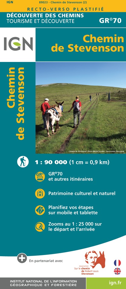
89023 - CHEMIN DE STEVENSON - GR70®
Editor : IGN
Collection : DECOUVERTE DES CHEMINS
Scale : 1:90 000
9.10€

D07-26 ARDÈCHE DRÔME
Editor : IGN
Collection : CARTES DÉPARTEMENTALES IGN
Scale : 1:150 000
5.90€

D12-48 AVEYRON LOZÈRE
Editor : IGN
Collection : CARTES DÉPARTEMENTALES IGN
Scale : 1:150 000
5.90€

D42-43 LOIRE HAUTE-LOIRE
Editor : IGN
Collection : CARTES DÉPARTEMENTALES IGN
Scale : 1:150 000
5.90€

EUROPE
Editor : IGN
Collection : DÉCOUVERTE DES PAYS DU MONDE IGN
Scale : 1:2 500 000
7.00€
What to visit in CAMPING LES EAUX VIVES
See more suggestionsTake a boat tour around CAMPING LES EAUX VIVES.
See more suggestions


Where to eat in CAMPING LES EAUX VIVES
See more suggestionsThe dining spots in CAMPING LES EAUX VIVES have surprises in store.
See more suggestions


Where to sleep in CAMPING LES EAUX VIVES
See more suggestionsStay at one of the many hotels in CAMPING LES EAUX VIVES.
See more suggestions


