Tours
Activities
Places of interest
Where to eat
Where to sleep
Camping Les Nations - Discover Auberives-sur-Vareze, Isère
Are you the owner?Welcome to the page dedicated to the myriad attractions and activities available from Camping Les Nations in Auberives-sur-Vareze, in the Isère, Rhône-Alpes region. Dive into a land rich in history and nature. Begin your adventure with a hike in the Vercors Regional Natural Park, a nearby natural gem. History enthusiasts? The Château de Roussillon will astonish young and old with its medieval arch...See more
Walking around CAMPING LES NATIONS
See more suggestionsDiscover the walking paths of CAMPING LES NATIONS.
See more suggestions


What to do in CAMPING LES NATIONS
See more suggestionsExciting adventures await you in CAMPING LES NATIONS, book now.
See more suggestions


IGN cards

3033SB - VIENNE ROUSSILLON
Editor : IGN
Collection : TOP 25 ET SÉRIE BLEUE
Scale : 1:25 000
13.90€
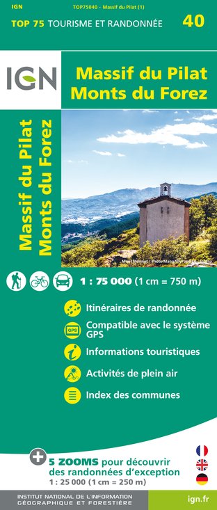
TOP75040 - MASSIF DU PILAT MONTS DU FOREZ
Editor : IGN
Collection : TOP 75
Scale : 1:75 000
9.80€
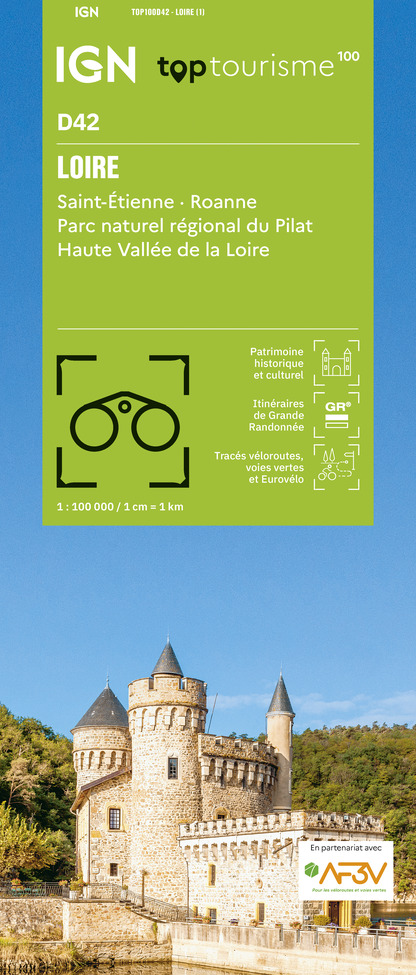
TOP100D42 - LOIRE SAINT-ÉTIENNE ROANNE PARC NATUREL RÉGIONAL DU PILAT HAUTE VALLÉE DE LA LOIRE
Editor : IGN
Collection : TOP 100
Scale : 1:100 000
8.40€
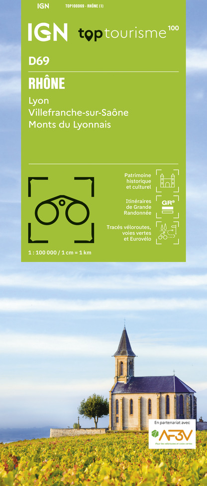
TOP100D69 - RHÔNE LYON VILLEFRANCHE-SUR-SAÔNE MONTS DU LYONNAIS
Editor : IGN
Collection : TOP 100
Scale : 1:100 000
8.40€

202 JURA ALPES DU NORD
Editor : IGN
Collection : TOP 200
Scale : 1:200 000
6.80€

D42-43 LOIRE HAUTE-LOIRE
Editor : IGN
Collection : CARTES DÉPARTEMENTALES IGN
Scale : 1:150 000
5.90€

D07-26 ARDÈCHE DRÔME
Editor : IGN
Collection : CARTES DÉPARTEMENTALES IGN
Scale : 1:150 000
5.90€

D38 ISÈRE
Editor : IGN
Collection : CARTES DÉPARTEMENTALES IGN
Scale : 1:150 000
5.90€

D01-69 AIN RHÔNE
Editor : IGN
Collection : CARTES DÉPARTEMENTALES IGN
Scale : 1:150 000
5.90€

EUROPE
Editor : IGN
Collection : DÉCOUVERTE DES PAYS DU MONDE IGN
Scale : 1:2 500 000
7.00€
What to visit in CAMPING LES NATIONS
See more suggestionsStroll through the historic districts of CAMPING LES NATIONS.
See more suggestions


Where to eat in CAMPING LES NATIONS
See more suggestionsCome and taste typical dishes of CAMPING LES NATIONS.
See more suggestions


Where to sleep in CAMPING LES NATIONS
See more suggestionsStay in unique accommodations in CAMPING LES NATIONS.
See more suggestions


