Alert
Alerts
Hiking between the Rhône and the vineyards: Tupin, Condrieu, Semons
Description
This hike lets you discover the Rhône’s river banks in the protected area of Ile du Beurre, the old part of the village of Condrieu and beautiful viewpoints of the market gardening plain of Ampuis and the steep vineyards of Côte-Rôtie.
DETAILED ITINERARY
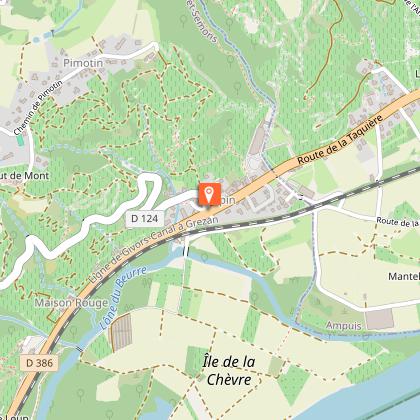
1 - START OF THE HIKE
- From the car park, cross Route de Lyon and walk around the chapel.
- Walk a few metres south along Route de Lyon, then turn left onto Chemin des Gravières.
- Cross the railway line and continue along Chemin de l'Île de la Chèvre.
- At the end, turn right to follow the river.
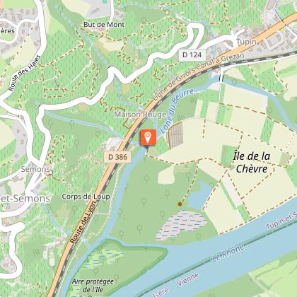
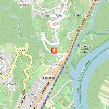
2 - NATURE WATCHING
- Cross the bridge on the right over the river and follow the path on the other bank.
- In the protected area of Île du Beurre, take the footpath rather than the ViaRhôna cycle path.
- Cross the bridge over the Bassenon stream, turn left and head for the nature observation esplanade.
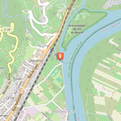
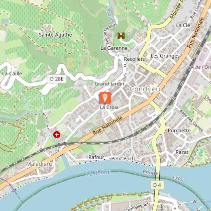
3 - THE RHÔNE AND CONDRIEU
- Continue along the right bank of the Rhône towards the south, between a campsite and the river.
- Before the end of the campsite, admire the river port of Les Roches-de-Condrieu on the other bank.
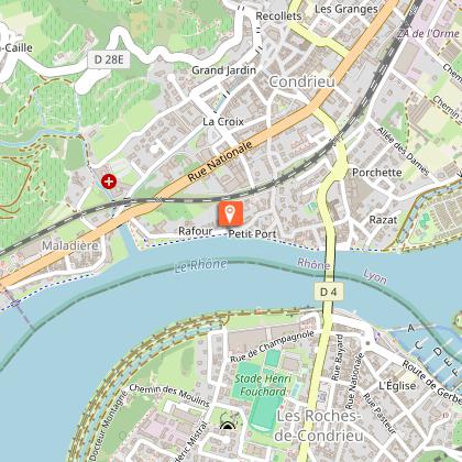
- At the entrance to Condrieu, after a large pink mansion, explore the restored streets and squares.
- Pass under the Rhône bridge and continue along the quay.
- Follow the streets of Sauze then the Rhône quay on the left.
4 - HISTORIC CENTRE OF CONDRIEU
- After two large plane trees, turn right onto Place du Raffour.
- Follow the narrow passageway, go under the small stone railway bridge, then continue along Rue Henri Barbuse and cross the RN86 to Rue du Marché aux Fruits.
- Take the small streets and covered passages (Rue Eugène Genet, Rue de la Croix, Grande Rue, Rue Saint-Martin) to reach the market square and Rue de Belfort.
- Go up Rue Saint-Étienne under the old fortification gate and continue to Rue de la Visitation, then cross the Arbuel stream and take Rue Claude de Villard.
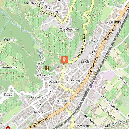
5 - RETURN TO THE HIGHLANDS
- At the junction with Montée de la Caille, take the bridge on the right and continue along Rue Ecorcheboeuf.
- At the end, turn left twice to reach Montée des Récollets.
- At the cemetery, go down Montée de la Tour, then follow the footpath on Rue de la Croix de l'Oiseau.
6 - TOWARDS THE RHÔNE AND THE TRAILS
- Follow Rue Cuvillière, then Rue de Croyez to the RN86.
- Take Allée de la Bachasse to the banks of the Rhône and continue along the river, following the mountain bike signs to the tarmac car park.
- Turn left twice, then join the D124 and take the mountain bike trail.
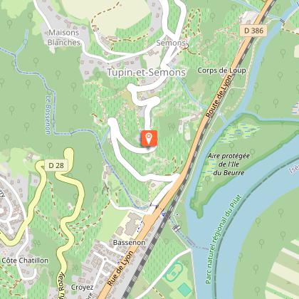
7 - ASCENT AND PANORAMIC VIEWS
- Ascend via the Bassenon road, which offers beautiful views of the valleys behind Condrieu.
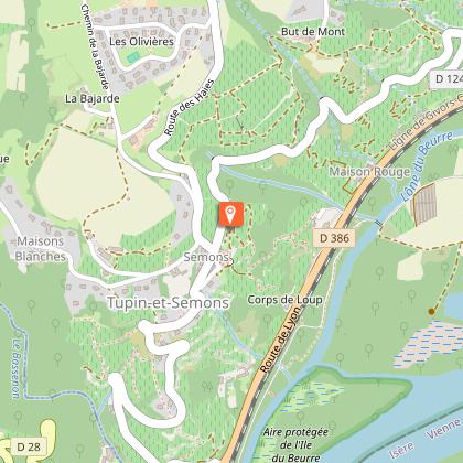
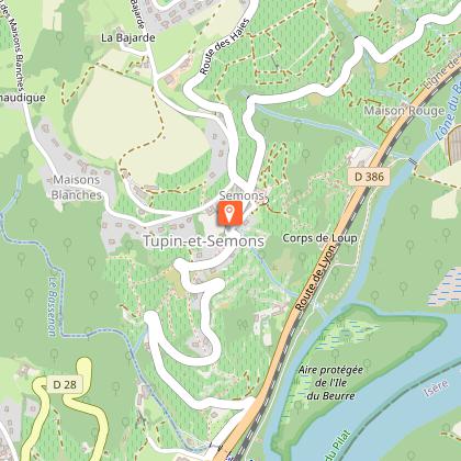
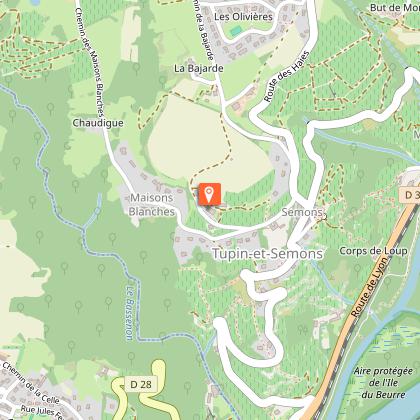
- Join the mountain bike trail to the village of Semons, then follow the path to the viewpoint to admire the Ampuis market garden plain and the view of Vienne.
- Walk around the church and, behind it, take the passage under the porch towards the path leading down into the vineyards.
8 - RETURN THROUGH THE VINEYARDS
- Take the first path on the left to climb back up to the D124.
- Descend the road, enjoying the terraced vineyards and the unobstructed view of the plain.
- When you reach the D386 (formerly the RN86), return to the car park where you started.
OFF THE CIRCUIT - Saut du Gier waterfall
- A difficult and fairly long round trip, only to be attempted if you have the time and energy.
Technical Information
Altimetric profile
Starting point
Steps

Points of interest
Additional information
Environments
In the country
Village centre
View over the vineyards
Updated by
Office de Tourisme de Vienne Condrieu Agglomération - 06/06/2026
www.vienne-condrieu.com/
Report a problem
Open period
All year round daily.
Contact
Phone : 04 74 53 70 10
Email : contact@vienne-condrieu.com
Data author
