Alert
Alerts
Black Milan trail
Description
On the track on the black kite, come and dicover the wealth of the Rhône valley: view on the regional park of the Pilat, vineyards of Côte-Rôtie and Condrieu.
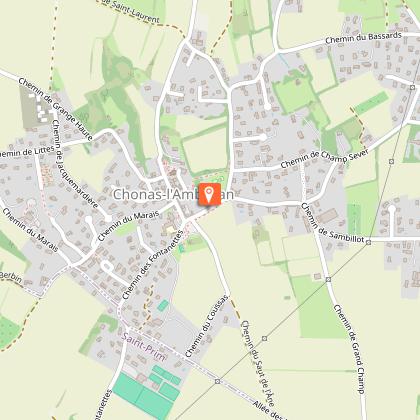
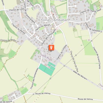
Hike around Chonas-l'Amballan
Starting point: Chonas-l'Amballan town hall car park.
- Main route: walk along the wall surrounding the south of the castle, then turn left onto Champ-Sever path. This turns left and joins Saint-Laurent path.
- Alternative route via the Allée des Tilleuls: from the car park, walk past the old stables towards the church, go around the castle walls and turn right onto the paved path to the Chemin de Saint-Laurent.
DETAILED ROUTE:
- From the Chemin de Saint-Laurent, continue right along the uphill path (marker C – troglodyte cellar). At the crossroads, continue straight ahead along the dirt track.
- On the plateau, enjoy the view of the Alps and the Crêts du Pilat. Turn left towards the water tower, then right onto Chemin de l'Abri. At the ‘Château d'eau’ signpost, follow the signs for Gerbey and descend towards the Rhône.
- Near the rocks, take the Chemin de l'Escadron to the viewpoint (panoramic view of Condrieu, Les Roches-de-Condrieu, the leisure centre and Île du Beurre). It then descends into the forest.
- At the bottom, turn left onto the path running alongside the railway line (take care with children for 750 m).
- At the Gerbey signpost, head back up towards Chonas via the Chemin de Bellevue, then the stabilised path (M marker).
- Enjoy the viewpoint with its orientation table facing the renowned vineyards (Côtes du Rhône, Côte-Rôtie, Condrieu), then continue climbing to the agricultural plateau (marker A).
- When you reach the plateau road (Chemin des Grandes-Bruyères), turn left then right onto Chemin de Berbin.
- At the Berbin signpost, turn left onto the paved path towards Chonas. Along the way, discover century-old mulberry trees (marker S) and adobe houses (marker P).
- Cross Chemin du Marais, then at the next crossroads, turn right to walk alongside the cemetery.
- Then go down the path to Chemin de la Roux, then left to reach the village and the starting point.
THINGS TO SEE ALONG THE WAY:
- In Les Roches-de-Condrieu: the grain market and the church.
- In Chonas-l'Amballan: the castle, the fountain and the wash house.
- In Gerbey: the reed bed and the alluvial forest.
OBSERVATIONS:
- Take care when crossing busy roads.
- Horse riders are not allowed along the lake.
- In Chonas-l'Amballan, the term ‘chemin’ refers to a street as well as a path or dirt track.
Technical Information
Altimetric profile
Starting point
Points of interest
Additional information
Environments
In the country
Village centre
Panoramic view
Updated by
Office de Tourisme de Vienne Condrieu Agglomération - 22/05/2026
www.vienne-condrieu.com/
Report a problem
Open period
All year round daily.
Contact
Phone : 04 74 53 70 10
Email : contact@vienne-condrieu.com
Type of land
Ground
Grit
Animals
Yes
Data author
