Tours
Activities
Places of interest
Where to eat
Where to sleep
Unveil the Charms Around Les Cordeliers in Pierre-Chatel
Are you the owner?Nestled in the heart of Isère, in the Rhône-Alpes region, Pierre-Chatel offers a plethora of activities and attractions to discover around Les Cordeliers. Nature enthusiasts will delight in the stunning landscapes of Lac de Pierre-Châtel, perfect for swimming, paddle boarding, or a relaxing family stroll. For hiking lovers, the majestic Mont Aiguille and the Parc Naturel Régional du Vercors are to...See more
Walking around LES CORDELIERS
See more suggestionsEnjoy pleasant walks in LES CORDELIERS.
See more suggestions


What to do in LES CORDELIERS
See more suggestionsExplore the many bookable activities in LES CORDELIERS and make the most of every moment.
See more suggestions


IGN cards
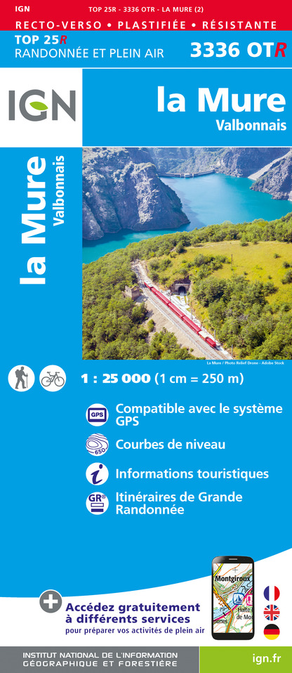
3336OTR - LA MURE RESISTANTE VALBONNAIS
Editor : IGN
Collection : TOP 25 RÉSISTANTE
Scale : 1:25 000
17.20€
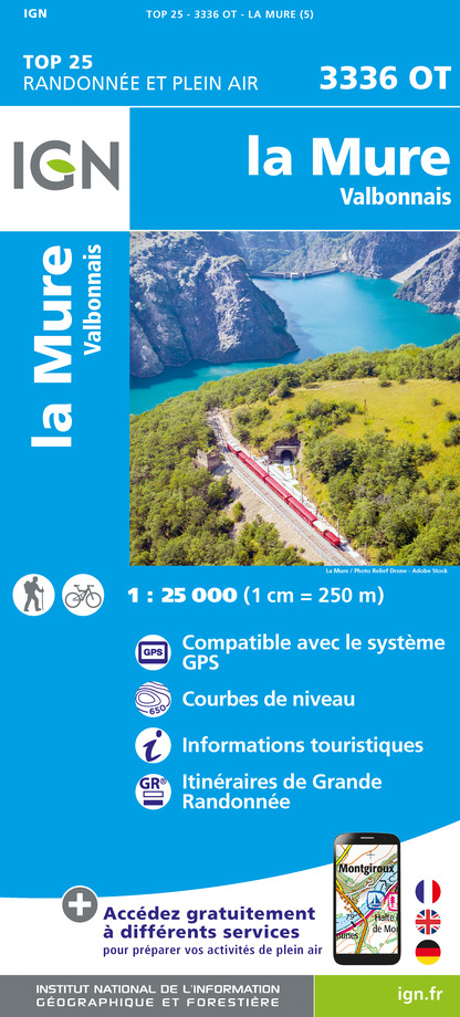
3336OT - LA MURE VALBONNAIS
Editor : IGN
Collection : TOP 25 ET SÉRIE BLEUE
Scale : 1:25 000
13.90€

TOP75001 - MASSIF DU VERCORS
Editor : IGN
Collection : TOP 75
Scale : 1:75 000
9.80€

202 JURA ALPES DU NORD
Editor : IGN
Collection : TOP 200
Scale : 1:200 000
6.80€

D07-26 ARDÈCHE DRÔME
Editor : IGN
Collection : CARTES DÉPARTEMENTALES IGN
Scale : 1:150 000
5.90€

D04-05 ALPES-DE-HAUTE-PROVENCE HAUTES-ALPES
Editor : IGN
Collection : CARTES DÉPARTEMENTALES IGN
Scale : 1:150 000
5.90€

D38 ISÈRE
Editor : IGN
Collection : CARTES DÉPARTEMENTALES IGN
Scale : 1:150 000
5.90€

NR14 AUVERGNE-RHÔNE-ALPES RECTO/VERSO MASSIF CENTRAL
Editor : IGN
Collection : CARTES RÉGIONALES IGN
Scale : 1:250 000
6.80€

NR16 PROVENCE-ALPES-CÔTE D'AZUR
Editor : IGN
Collection : CARTES RÉGIONALES IGN
Scale : 1:250 000
6.80€

NR15 AUVERGNE-RHÔNE-ALPES RECTO/VERSO MASSIF ALPIN
Editor : IGN
Collection : CARTES RÉGIONALES IGN
Scale : 1:250 000
6.80€

EUROPE
Editor : IGN
Collection : DÉCOUVERTE DES PAYS DU MONDE IGN
Scale : 1:2 500 000
7.00€
What to visit in LES CORDELIERS
See more suggestionsDiscover the local markets of LES CORDELIERS.
See more suggestions


Where to eat in LES CORDELIERS
See more suggestionsRestaurants in LES CORDELIERS will captivate you.
See more suggestions


Where to sleep in LES CORDELIERS
See more suggestionsDiscover available accommodations around LES CORDELIERS.
See more suggestions


