Tours
Activities
Places of interest
Where to eat
Where to sleep
Camping Port Neuf: activities and discoveries in Saint-André-de-Cubzac
Are you the owner?Welcome to Camping Port Neuf! Located in the heart of the beautiful region of Saint-André-de-Cubzac, Gironde, Aquitaine, our campsite is the perfect starting point for a multitude of activities and adventures. Begin your exploration with a visit to the famous Maison du Vin et de la Rivière, where you can taste delicious local wines and learn about the region's rich winemaking history. History enth...See more
Walking around CAMPING PORT NEUF
See more suggestionsWalks and discoveries in CAMPING PORT NEUF.
See more suggestions


")

What to do in CAMPING PORT NEUF
See more suggestionsBook your activities in CAMPING PORT NEUF and experience memorable moments.
See more suggestions


IGN cards
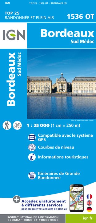
1536OT - BORDEAUX SUD MÉDOC
Editor : IGN
Collection : TOP 25 ET SÉRIE BLEUE
Scale : 1:25 000
13.90€
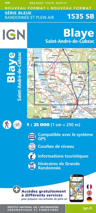
1535SB - BLAYE SAINT-ANDRÉ-DE-CUBZAC
Editor : IGN
Collection : TOP 25 ET SÉRIE BLEUE
Scale : 1:25 000
13.90€

145 BORDEAUX ARCACHON GIRONDE MÉDOC
Editor : IGN
Collection : TOP 100
Scale : 1:100 000
8.40€

D33 GIRONDE
Editor : IGN
Collection : CARTES DÉPARTEMENTALES IGN
Scale : 1:150 000
5.90€

EUROPE
Editor : IGN
Collection : DÉCOUVERTE DES PAYS DU MONDE IGN
Scale : 1:2 500 000
7.00€
What to visit in CAMPING PORT NEUF
See more suggestionsAdmire the unique architecture of CAMPING PORT NEUF.
See more suggestions


Where to eat in CAMPING PORT NEUF
See more suggestionsDiscover the culinary diversity of CAMPING PORT NEUF.
See more suggestions


Where to sleep in CAMPING PORT NEUF
See more suggestionsDiscover available accommodations around CAMPING PORT NEUF.
See more suggestions


