Tours
Activities
Places of interest
Where to eat
Where to sleep
Explore U Paradisu in Santo-Pietro-di-Tenda, Haute-Corse
Are you the owner?Welcome to U Paradisu, your serene haven in Santo-Pietro-di-Tenda, Haute-Corse. Immerse yourself in the authentic Corsican experience with a variety of local activities and discoveries. Hiking enthusiasts can explore the picturesque trails of the Agriates Desert, offering wild landscapes and breathtaking views. Venture to Saleccia Beach, a true gem of white sand, accessible by boat or on foot. Dis...See more


What to do in U PARADISU
See more suggestionsEnjoy the activities available in U PARADISU for moments of relaxation and fun.
See more suggestions


IGN cards
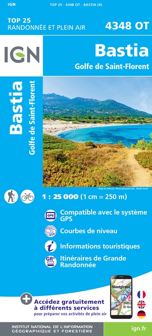
4348OT - BASTIA GOLFE DE SAINT-FLORENT
Editor : IGN
Collection : TOP 25 ET SÉRIE BLEUE
Scale : 1:25 000
13.90€

TOP75030 - BASTIA CORTE CAP CORSE
Editor : IGN
Collection : TOP 75
Scale : 1:75 000
9.80€

TOP75029 - CALVI CARGESE MONTE CINTO MONTE ROTONDO
Editor : IGN
Collection : TOP 75
Scale : 1:75 000
9.80€

1M903 - ITINÉRAIRES DE GRANDE RANDONNÉE EN FRANCE
Editor : IGN
Collection : DECOUVERTE DE LA FRANCE
Scale : 1:960 000
7.80€

CORSE
Editor : IGN
Collection : CARTES DÉPARTEMENTALES IGN
Scale : 1:150 000
5.90€

MR19 - MINI REGIONALE CORSE
Editor : IGN
Collection : CARTES RÉGIONALES IGN
Scale : 1:200 000
4.50€

NR17 CORSE
Editor : IGN
Collection : CARTES RÉGIONALES IGN
Scale : 1:250 000
6.80€

EUROPE
Editor : IGN
Collection : DÉCOUVERTE DES PAYS DU MONDE IGN
Scale : 1:2 500 000
7.00€
What to visit in U PARADISU
See more suggestionsAttend shows and concerts in U PARADISU.
See more suggestions


Where to eat in U PARADISU
See more suggestionsExperience U PARADISU's gastronomy.
See more suggestions


Where to sleep in U PARADISU
See more suggestionsFind the perfect lodging for your visit to U PARADISU.
See more suggestions


