Alert
Alerts
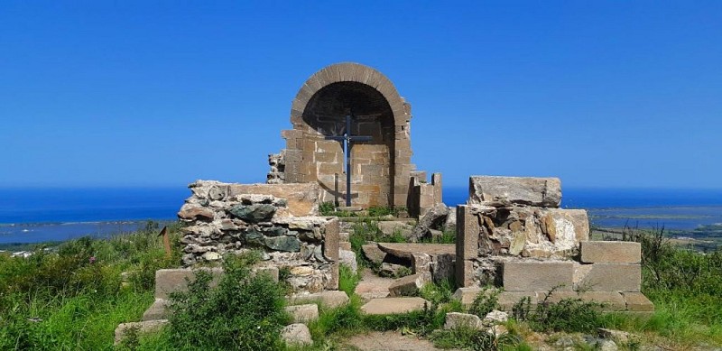
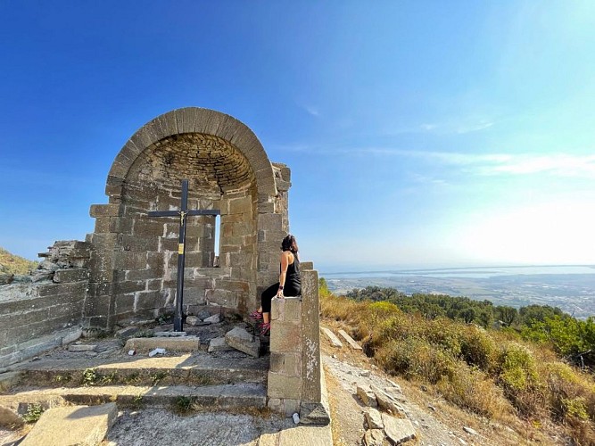
CHAPELLE SANT'ANDRIA DI FABRICA - BIGUGLIA
Description
Set off to explore Biguglia along two trails: the Biguglia Village trail immerses you in the village’s atmosphere, whilst the Sant’Andria Chapel trail takes you to the Sant’Andria Chapel, along a route that is as artistic as it is natural. Hidden sculptures, painted trees, colourful figures… a local artist has scattered his imagination all along the path, much to the delight of young and old alike. A picnic area awaits you at the chapel. Please note, however, that the trail crosses several watercourses — best avoided in wet weather due to mud and flooding, but well worth enjoying in fine weather!
Biguglia Village Trail:
Start from the village car park: 42.627197, 9.421073 (Alt. 113m)
Duration of the walk (excluding breaks): 40 mins
Distance covered: 500m
Elevation gain: 40m / Elevation loss: 40m
Difficulty: Easy
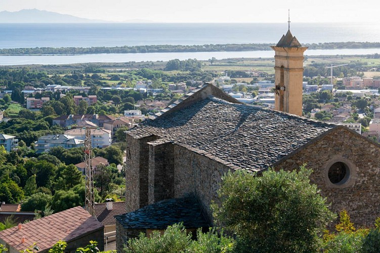
1) The walk starts from the car park of the 16th-century Baroque Church of Saint-André. Meet on the church forecourt.
From here, you can see the Étang de Biguglia, also known as the Étang de Chjurlinu.
Retrace your steps back to the war memorial.
2) Head up to the crossroads 50 metres further up.
3) Turn right, then slightly left, and take the narrow lane (not the main road), then continue for 80 metres to reach Piazza dell’Avvene.
4) To the left of the piazza, if you’re facing the sea, stands a ruined tower. This is an ancient Genoese tower dating from the 16th century, which marked the fortified boundary of the village in the Middle Ages.
Facing the fountain (with your back to the sea), take the stone steps, then head slightly to the right. After about twenty steps,
turn left, then at the top of the steps turn left again to reach Piazza di u Chjalzu (Mulberry Tree Square).
5) From there, cross the square and continue towards the archway, but first look out for the cannonball above the door on your left. Begin to descend slightly to reach the washhouse 70 metres further down.
6) To reach the Sant’Andria Chapel trail, continue along the route.
If you wish to turn back, leave the house on your left, then turn left again; after 100 metres you’ll come to the junction.
7) Cross the road to return to the car park.
Sant’Andria Chapel Trail:
Start from the village car park: 42.626335, 9.419397 (Alt. 154m)
Duration of the walk (excluding breaks): 90 mins
Distance covered: 3.5 km
Elevation gain: 190 m / Elevation loss: 190 m
Difficulty: Moderate
1) From the wash house, take the concrete steps. Continue for 380 metres through the woodland, taking care to read the signs along the botanical trail.
2) At the junction, you’ll come across one of the many sculptures carved directly into the trees that line the
route. Continue along the ‘lower’ path and follow the trail marked in yellow and blue, the colours of Biguglia.
3) Take a break at the ‘pagliaghju’ (haystacks), located 1,100 metres from the wash house. Tackle the short but ‘challenging climb’
leading to the ruined chapel.
4) The Sant’Andria di Fabrica chapel is situated at an altitude of 343 metres, the highest point of the walk. By this point, you will have covered 1,900 metres since setting off. From the chapel, continue across the plateau for about 50 metres.
5) At the dry fountain, turn right. The descent takes you through the oak woodland, following a water pipe for 1,200 metres to reach point 2.
6) From the burnt chestnut tree and its sculpture, walk a few metres, turn left and return via the same route.
The Topo Guide is available to download to guide you throughout your walk and ensure you have an enjoyable and safe hike.
Technical Information
Altimetric profile
Starting point
Data author
