Tours
Activities
Places of interest
Where to eat
Where to sleep
Discover the allure of Lacroix-sur-meuse, Meuse, Lorraine
Are you in charge of the destination?Nestled in the heart of Lorraine, Lacroix-sur-meuse, Meuse, Lorraine offers a captivating destination rich in history and nature. Begin your journey by exploring the local heritage through strolls within the village, showcasing traditional architecture and Lorraine hospitality. Nearby hiking trails provide an immersion into pristine nature, perfect for walking and cycling enthusiasts. Along the ba...See more
Walking around Lacroix-sur-meuse
See more suggestionsExplore the walking circuits of Lacroix-sur-meuse.
See more suggestions


What to do in Lacroix-sur-meuse
See more suggestionsExplore the bookable activity options in Lacroix-sur-meuse for all tastes and ages.
See more suggestions


IGN cards

3213SB - VIGNEULLES-LÈS-HATTONCHÂTEL DIEUE-SUR-MEUSE
Editor : IGN
Collection : TOP 25 ET SÉRIE BLEUE
Scale : 1:25 000
13.90€
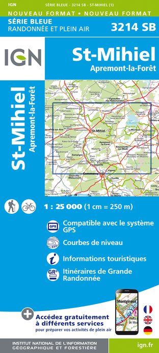
3214SB - SAINT-MIHIEL APREMONT-LA-FORÊT
Editor : IGN
Collection : TOP 25 ET SÉRIE BLEUE
Scale : 1:25 000
13.90€
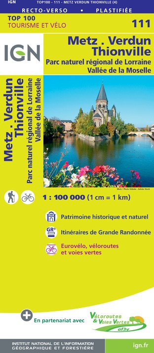
111 METZ VERDUN THIONVILLE PNR DE LORRAINE VALLÉE DE LA MOSELLE
Editor : IGN
Collection : TOP 100
Scale : 1:100 000
8.40€
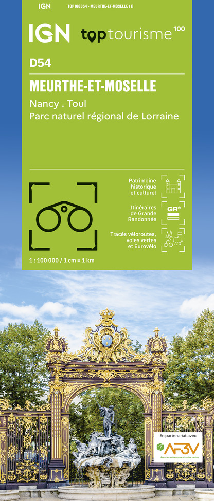
TOP100D54 - MEURTHE-ET-MOSELLE NANCY TOUL PARC RÉGIONAL DE LORRAINE
Editor : IGN
Collection : TOP 100
Scale : 1:100 000
8.40€
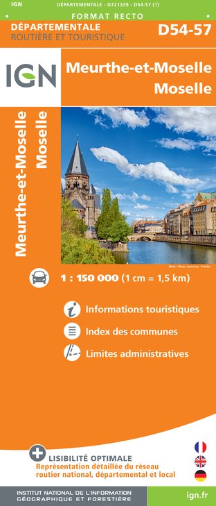
D54-57 MEURTHE-ET-MOSELLE MOSELLE
Editor : IGN
Collection : CARTES DÉPARTEMENTALES IGN
Scale : 1:150 000
5.90€
D51-55 MARNE MEUSE
Editor : IGN
Collection : CARTES DÉPARTEMENTALES IGN
Scale : 1:150 000
5.90€

ALLEMAGNE
Editor : IGN
Collection : DÉCOUVERTE DES PAYS DU MONDE IGN
Scale : 1:800 000
7.00€

EUROPE
Editor : IGN
Collection : DÉCOUVERTE DES PAYS DU MONDE IGN
Scale : 1:2 500 000
7.00€
87055 - BATAILLE DE VERDUN
Editor : IGN
Collection : ÉVÈNEMENT
Scale : 1:75 000
8.50€
What to visit in Lacroix-sur-meuse
See more suggestionsTaste the culinary specialties of Lacroix-sur-meuse.
See more suggestions


Where to eat in Lacroix-sur-meuse
See more suggestionsExperience Lacroix-sur-meuse's gastronomy.
See more suggestions


Where to sleep in Lacroix-sur-meuse
See more suggestionsBook a pleasant stay in Lacroix-sur-meuse.
See more suggestions


