Tours
Activities
Places of interest
Where to eat
Where to sleep
Explore Saint-sauveur-sur-tinee in Provence-Alpes-Côte d'Azur
Are you in charge of the destination?Nestled in the heart of the Alpes-Maritimes, Saint-sauveur-sur-tinee is a perfect destination for nature and history enthusiasts. Begin your adventure with a hike along the numerous trails winding through the surrounding mountains. Hikers will particularly enjoy the proximity to the Mercantour National Park, a haven for observing wildlife and flora, or simply enjoying a breathtaking view of the Ti...See more
Walking around Saint-sauveur-sur-tinee
See more suggestionsWalks and hikes around Saint-sauveur-sur-tinee.
See more suggestions


What to do in Saint-sauveur-sur-tinee
See more suggestionsExplore Saint-sauveur-sur-tinee through its many bookable activities.
See more suggestions


")


IGN cards
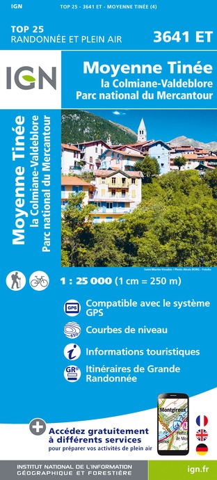
3641ET - MOYENNE TINÉE LA COLMIANE-VALDEBLORE PARC NATIONAL DU MERCANTOUR
Editor : IGN
Collection : TOP 25 ET SÉRIE BLEUE
Scale : 1:25 000
13.90€
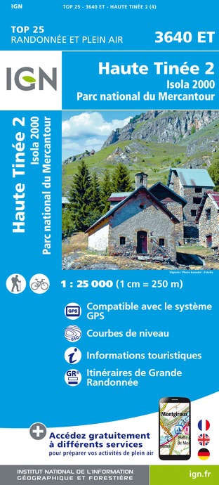
3640ET - HAUTE TINÉE 2 ISOLA 2000 PARC NATIONAL DU MERCANTOUR
Editor : IGN
Collection : TOP 25 ET SÉRIE BLEUE
Scale : 1:25 000
13.90€

TOP75010 - MERCANTOUR
Editor : IGN
Collection : TOP 75
Scale : 1:75 000
9.80€

TOP100D06 - ALPES-MARITIMES NICE CÔTE D'AZUR PARC NATIONAL DU MERCANTOUR PNR DES PRÉALPES D'AZUR
Editor : IGN
Collection : TOP 100
Scale : 1:100 000
8.40€

D83 VAR
Editor : IGN
Collection : CARTES DÉPARTEMENTALES IGN
Scale : 1:150 000
5.90€

D06 ALPES-MARITIMES
Editor : IGN
Collection : CARTES DÉPARTEMENTALES IGN
Scale : 1:150 000
5.90€

NR16 PROVENCE-ALPES-CÔTE D'AZUR
Editor : IGN
Collection : CARTES RÉGIONALES IGN
Scale : 1:250 000
6.80€

NR15 AUVERGNE-RHÔNE-ALPES RECTO/VERSO MASSIF ALPIN
Editor : IGN
Collection : CARTES RÉGIONALES IGN
Scale : 1:250 000
6.80€

NR14 AUVERGNE-RHÔNE-ALPES RECTO/VERSO MASSIF CENTRAL
Editor : IGN
Collection : CARTES RÉGIONALES IGN
Scale : 1:250 000
6.80€

EUROPE
Editor : IGN
Collection : DÉCOUVERTE DES PAYS DU MONDE IGN
Scale : 1:2 500 000
7.00€
What to visit in Saint-sauveur-sur-tinee
See more suggestionsShop in the boutiques of Saint-sauveur-sur-tinee.
See more suggestions


Where to eat in Saint-sauveur-sur-tinee
See more suggestionsDiscover the local flavors of Saint-sauveur-sur-tinee.
See more suggestions


Where to sleep in Saint-sauveur-sur-tinee
See more suggestionsChoose from a variety of lodgings in Saint-sauveur-sur-tinee.
See more suggestions


")
")
