Tours
Activities
Places of interest
Where to eat
Where to sleep
Discovering Labastide-sur-besorgues' hidden treasures
Are you in charge of the destination?Nestled in the heart of the Ardèche, Labastide-sur-Besorgues is an ideal destination for travelers looking to soak in the natural beauty and cultural richness of the Rhône-Alpes region. Start your journey with a walk along the Besorgues River, which offers a perfect setting for nature lovers and hiking enthusiasts. Well-marked trails will guide you through lush landscapes and breathtaking panorami...See more
Walking around Labastide-sur-besorgues
See more suggestionsExplore the walking circuits of Labastide-sur-besorgues.
See more suggestions


")
What to do in Labastide-sur-besorgues
See more suggestionsBook your activities in Labastide-sur-besorgues and experience memorable moments.
See more suggestions


IGN cards
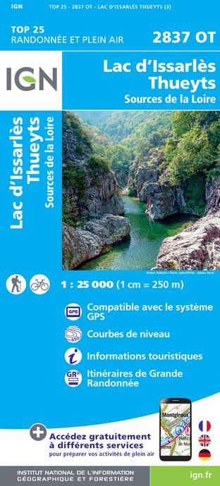
2837OT - LAC D'ISSARLÈS THUEYTS SOURCES DE LA LOIRE
Editor : IGN
Collection : TOP 25 ET SÉRIE BLEUE
Scale : 1:25 000
13.90€
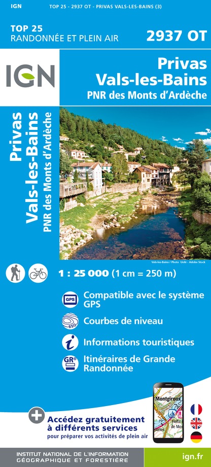
2937OT - PRIVAS
Editor : IGN
Collection : TOP 25 ET SÉRIE BLEUE
Scale : 1:25 000
13.90€
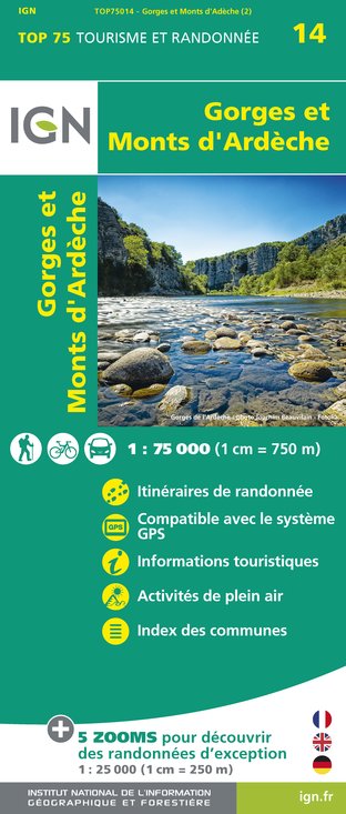
TOP75014 - GORGES ET MONTS D'ARDÈCHE
Editor : IGN
Collection : TOP 75
Scale : 1:75 000
9.80€

TOP100D07 - ARDÈCHE PRIVAS AUBENAS VALLON-PONT-D'ARC PNR DES MONTS D'ARDÈCHE
Editor : IGN
Collection : TOP 100
Scale : 1:100 000
8.40€

TOP100D43 - HAUTE-LOIRE LE PUY-EN-VELAY BRIOUDE GORGES DE L'ALLIER
Editor : IGN
Collection : TOP 100
Scale : 1:100 000
8.40€

D42-43 LOIRE HAUTE-LOIRE
Editor : IGN
Collection : CARTES DÉPARTEMENTALES IGN
Scale : 1:150 000
5.90€

D07-26 ARDÈCHE DRÔME
Editor : IGN
Collection : CARTES DÉPARTEMENTALES IGN
Scale : 1:150 000
5.90€

NR16 PROVENCE-ALPES-CÔTE D'AZUR
Editor : IGN
Collection : CARTES RÉGIONALES IGN
Scale : 1:250 000
6.80€

EUROPE
Editor : IGN
Collection : DÉCOUVERTE DES PAYS DU MONDE IGN
Scale : 1:2 500 000
7.00€
What to visit in Labastide-sur-besorgues
See more suggestionsDiscover the nightlife of Labastide-sur-besorgues.
See more suggestions


Where to eat in Labastide-sur-besorgues
See more suggestionsDiscover the culinary diversity of Labastide-sur-besorgues.
See more suggestions


Where to sleep in Labastide-sur-besorgues
See more suggestionsExplore hostels and hotels in Labastide-sur-besorgues.
See more suggestions


