Tours
Activities
Places of interest
Where to eat
Where to sleep
Explore Beaumont, Ardèche, Rhône-Alpes and its wonders
Are you in charge of the destination?Nestled in the heart of Ardèche, Beaumont is a quaint town offering an idyllic setting for charming and peaceful vacations. Surrounded by lush green hills, Beaumont is the perfect starting point to explore the natural wonders of the Rhône-Alpes region. Begin your adventure with a hike through the stunning landscapes of the Vallée de la Drobie, where each trail offers breathtaking views.
If histor...See more
If histor...See more


")


What to do in Beaumont
See more suggestionsChoose from a variety of activities in Beaumont and book your favorites.
See more suggestions


IGN cards

2838OT - LARGENTIÈRE LA BASTIDE-PUYLAURENT VIVARAIS CÉVENOL
Editor : IGN
Collection : TOP 25 ET SÉRIE BLEUE
Scale : 1:25 000
13.90€
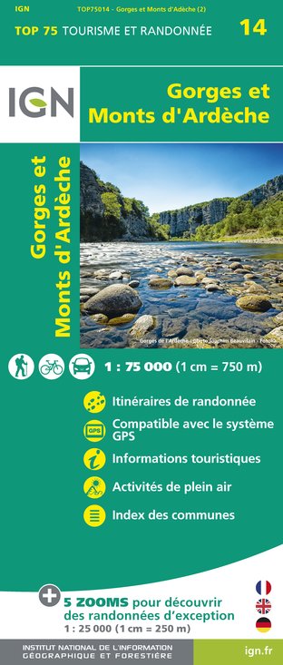
TOP75014 - GORGES ET MONTS D'ARDÈCHE
Editor : IGN
Collection : TOP 75
Scale : 1:75 000
9.80€

TOP100D07 - ARDÈCHE PRIVAS AUBENAS VALLON-PONT-D'ARC PNR DES MONTS D'ARDÈCHE
Editor : IGN
Collection : TOP 100
Scale : 1:100 000
8.40€

TOP100D48 - LOZÈRE MENDE FLORAC-TROIS-RIVIÈRES PARC NATIONAL DES CÉVENNES GORGES DU TARN ET DE LA JONTE
Editor : IGN
Collection : TOP 100
Scale : 1:100 000
8.40€

83501 - PARC NATIONAL DES CÉVENNES
Editor : IGN
Collection : DÉCOUVERTE DES PARCS
Scale : 1:50 000
9.00€

D13-84 BOUCHES-DU-RHÔNE VAUCLUSE
Editor : IGN
Collection : CARTES DÉPARTEMENTALES IGN
Scale : 1:150 000
5.90€

D07-26 ARDÈCHE DRÔME
Editor : IGN
Collection : CARTES DÉPARTEMENTALES IGN
Scale : 1:150 000
5.90€

NR16 PROVENCE-ALPES-CÔTE D'AZUR
Editor : IGN
Collection : CARTES RÉGIONALES IGN
Scale : 1:250 000
6.80€

EUROPE
Editor : IGN
Collection : DÉCOUVERTE DES PAYS DU MONDE IGN
Scale : 1:2 500 000
7.00€
What to visit in Beaumont
See more suggestionsStroll through the historic districts of Beaumont.
See more suggestions


Where to sleep in Beaumont
See more suggestionsStay near Beaumont with our lodging options.
See more suggestions


