Alert
Alerts
The mills of Saint André Lachamp
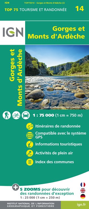
IGN cards


Description
As early as the Middle Ages, the Alune River was used to turn numerous mills for the region’s inhabitants. There are still four mills along the trail that used the water held back in a “sluice”.
Technical Information
Altimetric profile
Starting point
Additional information
Updated by
Office de Tourisme Cévennes d'Ardèche - 17/07/2025
www.cevennes-ardeche.com
Report a problem
Open period
All year round.
Contact
Phone : 04 75 37 24 48
Website : rando.cevennes-ardeche.com/trek/32988-les-moulins-de-saint-andre-lachamp
Type of land
Stone
Ground
Not suitable for strollers
Location complements
Start from town Hall, Saint-André-Lachamp
