Tours
Activities
Places of interest
Where to eat
Where to sleep
Discover Saint-quentin-la-chabanne, Creuse, Limousin
Are you in charge of the destination?Welcome to Saint-quentin-la-chabanne, a hidden gem in Creuse, Limousin. This charming town offers a plethora of activities for every taste. Start your journey with a stroll through the peaceful streets, admiring the region's typical stone houses. Then take your time exploring the hiking trails that wind through the surrounding countryside, offering breathtaking views of picturesque landscapes.
He...See more
He...See more
Walking around Saint-quentin-la-chabanne
See more suggestionsStroll through the walking routes of Saint-quentin-la-chabanne.
See more suggestions


")
What to do in Saint-quentin-la-chabanne
See more suggestionsRelax and have fun with the available activities in Saint-quentin-la-chabanne.
See more suggestions


IGN cards

2231SB - ROYÈRE-DE-VASSIVIÈRE GENTIOUX-PIGEROLLES
Editor : IGN
Collection : TOP 25 ET SÉRIE BLEUE
Scale : 1:25 000
13.90€
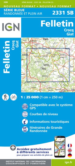
2331SB - FELLETIN CROCQ GIAT
Editor : IGN
Collection : TOP 25 ET SÉRIE BLEUE
Scale : 1:25 000
13.90€

147 LIMOGES GUÉRET PNR DE MILLEVACHES EN LIMOUSIN
Editor : IGN
Collection : TOP 100
Scale : 1:100 000
8.40€

D23-87 CREUSE HAUTE-VIENNE
Editor : IGN
Collection : CARTES DÉPARTEMENTALES IGN
Scale : 1:150 000
5.90€

D03-63 ALLIER PUY-DE-DÔME
Editor : IGN
Collection : CARTES DÉPARTEMENTALES IGN
Scale : 1:150 000
5.90€

EUROPE
Editor : IGN
Collection : DÉCOUVERTE DES PAYS DU MONDE IGN
Scale : 1:2 500 000
7.00€
What to visit in Saint-quentin-la-chabanne
See more suggestionsVisit the historical sites of Saint-quentin-la-chabanne.
See more suggestions


Where to eat in Saint-quentin-la-chabanne
See more suggestionsA wide selection of restaurants awaits you in Saint-quentin-la-chabanne.
See more suggestions


Where to sleep in Saint-quentin-la-chabanne
See more suggestionsDiscover available accommodations around Saint-quentin-la-chabanne.
See more suggestions


