Tours
Activities
Places of interest
Where to eat
Where to sleep
Discover Orgon at Camping La Vallée Heureuse
Are you the owner?Welcome to Camping La Vallée Heureuse! Located in Orgon, Bouches-du-Rhône, Provence-Alpes-Côte d'Azur, this campsite is the perfect starting point to explore the hidden gems of the region. Begin your adventure with a visit to the picturesque village of Orgon, with its winding streets and impressive heritage. The medieval castle of Orgon and the Notre-Dame-de-Beauregard church offer breathtaking vi...See more
Walking around CAMPING LA VALLEE HEUREUSE
See more suggestionsDiscover the walking paths of CAMPING LA VALLEE HEUREUSE.
See more suggestions


What to do in CAMPING LA VALLEE HEUREUSE
See more suggestionsDiscover surprising activities in CAMPING LA VALLEE HEUREUSE and book the ones you like.
See more suggestions


IGN cards
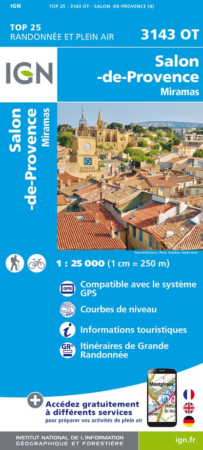
3143OT - SALON-DE-PROVENCE MIRAMAS
Editor : IGN
Collection : TOP 25 ET SÉRIE BLEUE
Scale : 1:25 000
13.90€

3142OT - CAVAILLON FONTAINE-DE-VAUCLUSE
Editor : IGN
Collection : TOP 25 ET SÉRIE BLEUE
Scale : 1:25 000
13.90€

TOP75033 - CAMARGUE ALPILLES
Editor : IGN
Collection : TOP 75
Scale : 1:75 000
9.80€

TOP75034 - LUBERON MONT VENTOUX
Editor : IGN
Collection : TOP 75
Scale : 1:75 000
9.80€

VEL03 - LE VAUCLUSE A VÉLO
Editor : IGN
Collection : DECOUVERTE A VELO
Scale : 1:100 000
9.10€

TOP100D84 - VAUCLUSE AVIGNON CARPENTRAS PARCS NATURELS RÉGIONAUX DU LUBERON ET DU MONT-VENTOUX
Editor : IGN
Collection : TOP 100
Scale : 1:100 000
8.40€

TOP100D13 - BOUCHES-DU-RHÔNE MARSEILLE AIX-EN-PROVENCE PARC NATIONAL DES CALANQUES PNR DES ALPILLES ET DE CAMARGUE
Editor : IGN
Collection : TOP 100
Scale : 1:100 000
8.40€

D13-84 BOUCHES-DU-RHÔNE VAUCLUSE
Editor : IGN
Collection : CARTES DÉPARTEMENTALES IGN
Scale : 1:150 000
5.90€

NR16 PROVENCE-ALPES-CÔTE D'AZUR
Editor : IGN
Collection : CARTES RÉGIONALES IGN
Scale : 1:250 000
6.80€

EUROPE
Editor : IGN
Collection : DÉCOUVERTE DES PAYS DU MONDE IGN
Scale : 1:2 500 000
7.00€
What to visit in CAMPING LA VALLEE HEUREUSE
See more suggestionsDiscover the nightlife of CAMPING LA VALLEE HEUREUSE.
See more suggestions


Where to eat in CAMPING LA VALLEE HEUREUSE
See more suggestionsRestaurants in CAMPING LA VALLEE HEUREUSE are ready to welcome you.
See more suggestions


Where to sleep in CAMPING LA VALLEE HEUREUSE
See more suggestionsExplore accommodation options in CAMPING LA VALLEE HEUREUSE.
See more suggestions


