Tours
Activities
Places of interest
Where to eat
Where to sleep
Discover the wonders of Salon-de-provence with Camping Nostradamus
Are you the owner?Nestled in the heart of Provence, Salon-de-Provence welcomes you for a stay full of discoveries and activities. Enjoy walks through the old town to admire historical architecture, from the Collegiate Church of Saint-Laurent to the Château de l'Empéri, remnants of the medieval and Renaissance past. Enthusiasts should not miss the Nostradamus Museum to learn about the famed prophet.
Relax as you ex...See more
Relax as you ex...See more
Walking around CAMPING NOSTRADAMUS
See more suggestionsStroll through the walking routes of CAMPING NOSTRADAMUS.
See more suggestions


What to do in CAMPING NOSTRADAMUS
See more suggestionsActivities for all tastes await you in CAMPING NOSTRADAMUS, book them today.
See more suggestions


IGN cards
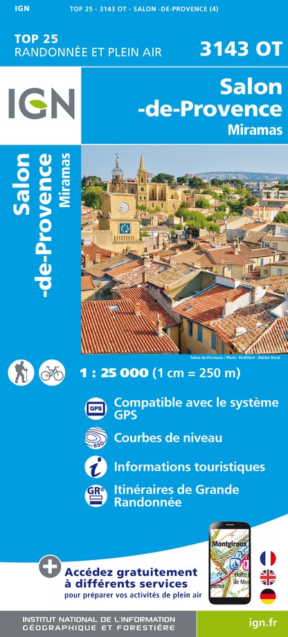
3143OT - SALON-DE-PROVENCE MIRAMAS
Editor : IGN
Collection : TOP 25 ET SÉRIE BLEUE
Scale : 1:25 000
13.90€

TOP75033 - CAMARGUE ALPILLES
Editor : IGN
Collection : TOP 75
Scale : 1:75 000
9.80€

VEL03 - LE VAUCLUSE A VÉLO
Editor : IGN
Collection : DECOUVERTE A VELO
Scale : 1:100 000
9.10€

TOP100D84 - VAUCLUSE AVIGNON CARPENTRAS PARCS NATURELS RÉGIONAUX DU LUBERON ET DU MONT-VENTOUX
Editor : IGN
Collection : TOP 100
Scale : 1:100 000
8.40€

TOP100D13 - BOUCHES-DU-RHÔNE MARSEILLE AIX-EN-PROVENCE PARC NATIONAL DES CALANQUES PNR DES ALPILLES ET DE CAMARGUE
Editor : IGN
Collection : TOP 100
Scale : 1:100 000
8.40€

D13-84 BOUCHES-DU-RHÔNE VAUCLUSE
Editor : IGN
Collection : CARTES DÉPARTEMENTALES IGN
Scale : 1:150 000
5.90€

NR16 PROVENCE-ALPES-CÔTE D'AZUR
Editor : IGN
Collection : CARTES RÉGIONALES IGN
Scale : 1:250 000
6.80€

EUROPE
Editor : IGN
Collection : DÉCOUVERTE DES PAYS DU MONDE IGN
Scale : 1:2 500 000
7.00€
What to visit in CAMPING NOSTRADAMUS
See more suggestionsWalk along the picturesque streets of CAMPING NOSTRADAMUS.
See more suggestions


Where to eat in CAMPING NOSTRADAMUS
See more suggestionsExplore the best dining spots in CAMPING NOSTRADAMUS.
See more suggestions


Where to sleep in CAMPING NOSTRADAMUS
See more suggestionsExplore hostels and hotels in CAMPING NOSTRADAMUS.
See more suggestions


