Tours
Activities
Places of interest
Where to eat
Where to sleep
Discover Saint-christol, Vaucluse in Provence-Alpes-Côte d'Azur
Are you in charge of the destination?Saint-christol, located in the Vaucluse region of Provence-Alpes-Côte d'Azur, is a charming destination offering a variety of activities for visitors. Nestled in a stunning natural setting, the area is perfect for outdoor enthusiasts and cultural explorers.
Experience breathtaking landscapes on hiking or biking trails through the surrounding plains and hills. The region is also famous for its la...See more
Experience breathtaking landscapes on hiking or biking trails through the surrounding plains and hills. The region is also famous for its la...See more
Walking around Saint-christol
See more suggestionsEnjoy outdoor walks in Saint-christol.
See more suggestions
 of St-Saturnin-lès-Apt")
 of St-Saturnin-lès-Apt")


What to do in Saint-christol
See more suggestionsOrganize your days in Saint-christol with bookable activities for the whole family.
See more suggestions


IGN cards
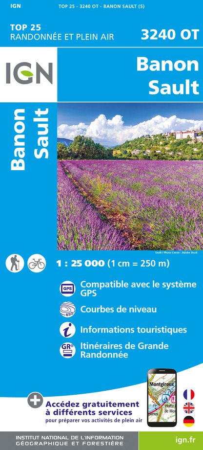
3240OT - BANON SAULT PLATEAU DE SAINT-CHRISTOL
Editor : IGN
Collection : TOP 25 ET SÉRIE BLEUE
Scale : 1:25 000
13.90€

TOP75034 - LUBERON MONT VENTOUX
Editor : IGN
Collection : TOP 75
Scale : 1:75 000
9.80€

VEL03 - LE VAUCLUSE A VÉLO
Editor : IGN
Collection : DECOUVERTE A VELO
Scale : 1:100 000
9.10€

TOP100D04 - ALPES-DE-HAUTE-PROVENCE DIGNE MANOSQUE PNR DU VERDON LAC DE SERRE-PONÇON
Editor : IGN
Collection : TOP 100
Scale : 1:100 000
8.40€

TOP100D84 - VAUCLUSE AVIGNON CARPENTRAS PARCS NATURELS RÉGIONAUX DU LUBERON ET DU MONT-VENTOUX
Editor : IGN
Collection : TOP 100
Scale : 1:100 000
8.40€

D04-05 ALPES-DE-HAUTE-PROVENCE HAUTES-ALPES
Editor : IGN
Collection : CARTES DÉPARTEMENTALES IGN
Scale : 1:150 000
5.90€

D13-84 BOUCHES-DU-RHÔNE VAUCLUSE
Editor : IGN
Collection : CARTES DÉPARTEMENTALES IGN
Scale : 1:150 000
5.90€

D83 VAR
Editor : IGN
Collection : CARTES DÉPARTEMENTALES IGN
Scale : 1:150 000
5.90€

NR14 AUVERGNE-RHÔNE-ALPES RECTO/VERSO MASSIF CENTRAL
Editor : IGN
Collection : CARTES RÉGIONALES IGN
Scale : 1:250 000
6.80€

NR16 PROVENCE-ALPES-CÔTE D'AZUR
Editor : IGN
Collection : CARTES RÉGIONALES IGN
Scale : 1:250 000
6.80€

NR15 AUVERGNE-RHÔNE-ALPES RECTO/VERSO MASSIF ALPIN
Editor : IGN
Collection : CARTES RÉGIONALES IGN
Scale : 1:250 000
6.80€

EUROPE
Editor : IGN
Collection : DÉCOUVERTE DES PAYS DU MONDE IGN
Scale : 1:2 500 000
7.00€
What to visit in Saint-christol
See more suggestionsDiscover the nightlife of Saint-christol.
See more suggestions


")
")


Where to eat in Saint-christol
See more suggestionsDiscover the culinary diversity of Saint-christol.
See more suggestions


Where to sleep in Saint-christol
See more suggestionsDiscover the best lodging options in Saint-christol.
See more suggestions


