Tours
Activities
Places of interest
Where to eat
Where to sleep
Adventure at CAMPING DU CAP DU ROC in Port-la-Nouvelle
Are you the owner?Welcome to Port-la-Nouvelle, a gem in Aude, Languedoc-Roussillon, perfect for a getaway at CAMPING DU CAP DU ROC. Staying here places you close to numerous local attractions that will enrich your camping experience. Start by exploring the pristine Mediterranean beaches, ideal for a day of swimming, lounging, or water sports. For nature enthusiasts, the Narbonnaise en Méditerranée Regional Natural ...See more
Walking around CAMPING DU CAP DU ROC
See more suggestionsExplore the hiking trails around CAMPING DU CAP DU ROC.
See more suggestions")


")


What to do in CAMPING DU CAP DU ROC
See more suggestionsActivities for all tastes await you in CAMPING DU CAP DU ROC, book them today.
See more suggestions


IGN cards
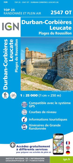
2547OT - DURBAN-CORBIÈRES LEUCATE PLAGES DU ROUSSILLON
Editor : IGN
Collection : TOP 25 ET SÉRIE BLEUE
Scale : 1:25 000
13.90€

TOP100D11 - AUDE CARCASSONNE NARBONNE LIMOUX QUILLAN CANAL DU MIDI
Editor : IGN
Collection : TOP 100
Scale : 1:100 000
8.40€

TOP100D66 - PYRÉNÉES-ORIENTALES PERPIGNAN PRADES CÉRET CÔTE VERMEILLE PNR DES PYRÉNÉES CATALANES
Editor : IGN
Collection : TOP 100
Scale : 1:100 000
8.40€

D11-81 AUDE TARN
Editor : IGN
Collection : CARTES DÉPARTEMENTALES IGN
Scale : 1:150 000
5.90€

D09-66 ARIÈGE PYRÉNÉES-ORIENTALES
Editor : IGN
Collection : CARTES DÉPARTEMENTALES IGN
Scale : 1:150 000
5.90€

EUROPE
Editor : IGN
Collection : DÉCOUVERTE DES PAYS DU MONDE IGN
Scale : 1:2 500 000
7.00€
What to visit in CAMPING DU CAP DU ROC
See more suggestionsVisit the historical sites of CAMPING DU CAP DU ROC.
See more suggestions


Where to eat in CAMPING DU CAP DU ROC
See more suggestionsCome and taste typical dishes of CAMPING DU CAP DU ROC.
See more suggestions


Where to sleep in CAMPING DU CAP DU ROC
See more suggestionsExplore lodging possibilities in CAMPING DU CAP DU ROC.
See more suggestions


")

