Tours
Activities
Places of interest
Where to eat
Where to sleep
Discover the charm from camping VTF JOYEUSE in Ardèche
Are you the owner?Nestled in the heart of Ardèche, camping VTF JOYEUSE provides the perfect starting point for exploring a region brimming with charm and adventure. Begin your day with a stroll through the picturesque streets of Joyeuse, a medieval village that feels frozen in time. Nature enthusiasts will adore visiting the famed Gorges de l'Ardèche, an awe-inspiring natural spectacle offering hiking and canoeing....See more
Walking around VTF JOYEUSE
See more suggestionsWalks and discoveries in VTF JOYEUSE.
See more suggestions


")

")

What to do in VTF JOYEUSE
See more suggestionsOrganize your days in VTF JOYEUSE with bookable activities for the whole family.
See more suggestions


IGN cards

2838OT - LARGENTIÈRE LA BASTIDE-PUYLAURENT VIVARAIS CÉVENOL
Editor : IGN
Collection : TOP 25 ET SÉRIE BLEUE
Scale : 1:25 000
13.90€
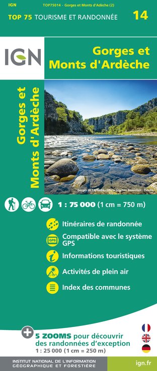
TOP75014 - GORGES ET MONTS D'ARDÈCHE
Editor : IGN
Collection : TOP 75
Scale : 1:75 000
9.80€

TOP100D07 - ARDÈCHE PRIVAS AUBENAS VALLON-PONT-D'ARC PNR DES MONTS D'ARDÈCHE
Editor : IGN
Collection : TOP 100
Scale : 1:100 000
8.40€

TOP100D48 - LOZÈRE MENDE FLORAC-TROIS-RIVIÈRES PARC NATIONAL DES CÉVENNES GORGES DU TARN ET DE LA JONTE
Editor : IGN
Collection : TOP 100
Scale : 1:100 000
8.40€

83501 - PARC NATIONAL DES CÉVENNES
Editor : IGN
Collection : DÉCOUVERTE DES PARCS
Scale : 1:50 000
9.00€

D13-84 BOUCHES-DU-RHÔNE VAUCLUSE
Editor : IGN
Collection : CARTES DÉPARTEMENTALES IGN
Scale : 1:150 000
5.90€

D07-26 ARDÈCHE DRÔME
Editor : IGN
Collection : CARTES DÉPARTEMENTALES IGN
Scale : 1:150 000
5.90€

NR16 PROVENCE-ALPES-CÔTE D'AZUR
Editor : IGN
Collection : CARTES RÉGIONALES IGN
Scale : 1:250 000
6.80€

EUROPE
Editor : IGN
Collection : DÉCOUVERTE DES PAYS DU MONDE IGN
Scale : 1:2 500 000
7.00€
What to visit in VTF JOYEUSE
See more suggestionsVisit the historical sites of VTF JOYEUSE.
See more suggestions


Where to eat in VTF JOYEUSE
See more suggestionsThe dining spots in VTF JOYEUSE have surprises in store.
See more suggestions


Where to sleep in VTF JOYEUSE
See more suggestionsDiscover popular accommodations in VTF JOYEUSE.
See more suggestions


