Tours
Activities
Places of interest
Where to eat
Where to sleep
Explore Saint-christophe-d'allier in Haute-Loire, Auvergne
Are you in charge of the destination?Welcome to Saint-christophe-d'allier, nestled in the incredible Haute-Loire department of the Auvergne region! This charming town invites you to an enriching stay filled with discoveries and activities.
Embark on unforgettable hikes along the famous Allier trails, offering breathtaking panoramic views. Dive into history with guided tours of local historical monuments, such as the Romanesque churc...See more
Embark on unforgettable hikes along the famous Allier trails, offering breathtaking panoramic views. Dive into history with guided tours of local historical monuments, such as the Romanesque churc...See more
Walking around Saint-christophe-d'allier
See more suggestionsDiscover the nature of Saint-christophe-d'allier on foot.
See more suggestions


")


What to do in Saint-christophe-d'allier
See more suggestionsEnjoy unforgettable moments in Saint-christophe-d'allier by booking activities for everyone.
See more suggestions


IGN cards

2736SB - SOLIGNAC-SUR-LOIRE CAYRES MONISTROL-D'ALLIER
Editor : IGN
Collection : TOP 25 ET SÉRIE BLEUE
Scale : 1:25 000
13.90€

TOP100D43 - HAUTE-LOIRE LE PUY-EN-VELAY BRIOUDE GORGES DE L'ALLIER
Editor : IGN
Collection : TOP 100
Scale : 1:100 000
8.40€

TOP100D48 - LOZÈRE MENDE FLORAC-TROIS-RIVIÈRES PARC NATIONAL DES CÉVENNES GORGES DU TARN ET DE LA JONTE
Editor : IGN
Collection : TOP 100
Scale : 1:100 000
8.40€
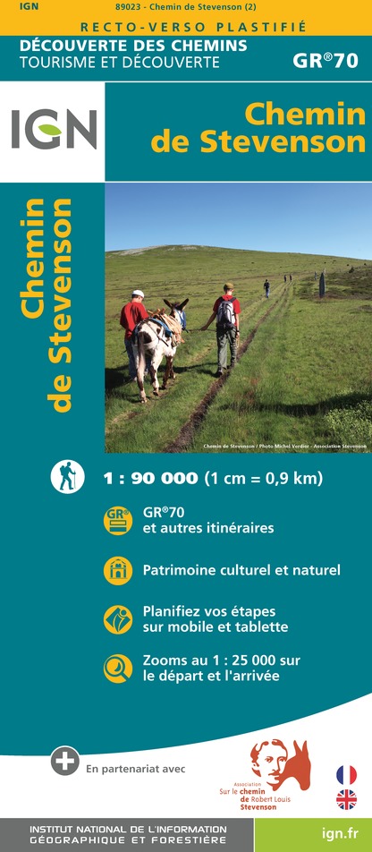
89023 - CHEMIN DE STEVENSON - GR70®
Editor : IGN
Collection : DECOUVERTE DES CHEMINS
Scale : 1:90 000
9.10€

D42-43 LOIRE HAUTE-LOIRE
Editor : IGN
Collection : CARTES DÉPARTEMENTALES IGN
Scale : 1:150 000
5.90€

D07-26 ARDÈCHE DRÔME
Editor : IGN
Collection : CARTES DÉPARTEMENTALES IGN
Scale : 1:150 000
5.90€

D12-48 AVEYRON LOZÈRE
Editor : IGN
Collection : CARTES DÉPARTEMENTALES IGN
Scale : 1:150 000
5.90€

EUROPE
Editor : IGN
Collection : DÉCOUVERTE DES PAYS DU MONDE IGN
Scale : 1:2 500 000
7.00€
What to visit in Saint-christophe-d'allier
See more suggestionsExperience the annual festivals of Saint-christophe-d'allier.
See more suggestions


Where to eat in Saint-christophe-d'allier
See more suggestionsExperience Saint-christophe-d'allier's gastronomy.
See more suggestions


Where to sleep in Saint-christophe-d'allier
See more suggestionsBook your stay at one of Saint-christophe-d'allier's accommodations.
See more suggestions


