Tours
Activities
Places of interest
Where to eat
Where to sleep
Discover Saint-Florent's Gems from Demeures Loredana
Are you the owner?Located in Saint-Florent, Haute-Corse, Corsica, Demeures Loredana is your perfect gateway to explore this charming region. Begin your adventure with a stroll through the heart of Saint-Florent, often referred to as Corsica's 'little Saint-Tropez.' Wander along its picturesque port, admiring the luxurious yachts and colorful fishing boats. For a cultural touch, don't miss the 12th-century Nebbio Ca...See more
Walking around DEMEURES LOREDANA
See more suggestionsDiscover the walking paths of DEMEURES LOREDANA.
See more suggestions


What to do in DEMEURES LOREDANA
See more suggestionsPlan your leisure time in DEMEURES LOREDANA by booking activities that suit your preferences.
See more suggestions


IGN cards
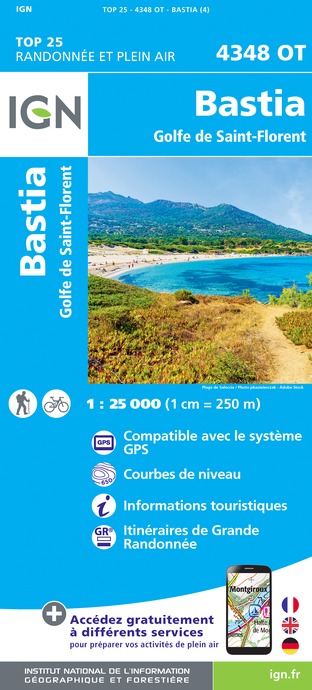
4348OT - BASTIA GOLFE DE SAINT-FLORENT
Editor : IGN
Collection : TOP 25 ET SÉRIE BLEUE
Scale : 1:25 000
13.90€

TOP75030 - BASTIA CORTE CAP CORSE
Editor : IGN
Collection : TOP 75
Scale : 1:75 000
9.80€

1M903 - ITINÉRAIRES DE GRANDE RANDONNÉE EN FRANCE
Editor : IGN
Collection : DECOUVERTE DE LA FRANCE
Scale : 1:960 000
7.80€

CORSE
Editor : IGN
Collection : CARTES DÉPARTEMENTALES IGN
Scale : 1:150 000
5.90€

NR17 CORSE
Editor : IGN
Collection : CARTES RÉGIONALES IGN
Scale : 1:250 000
6.80€

MR19 - MINI REGIONALE CORSE
Editor : IGN
Collection : CARTES RÉGIONALES IGN
Scale : 1:200 000
4.50€

EUROPE
Editor : IGN
Collection : DÉCOUVERTE DES PAYS DU MONDE IGN
Scale : 1:2 500 000
7.00€
What to visit in DEMEURES LOREDANA
See more suggestionsSavor the local cuisine of DEMEURES LOREDANA.
See more suggestions


Where to eat in DEMEURES LOREDANA
See more suggestionsEnjoy delicious dishes at DEMEURES LOREDANA's restaurants.
See more suggestions


Where to sleep in DEMEURES LOREDANA
See more suggestionsExplore lodging possibilities in DEMEURES LOREDANA.
See more suggestions


