Tours
Activities
Places of interest
Where to eat
Where to sleep
Uncover natural gems around Gestion'Aire in Arbent
Are you the owner?Discover the natural and cultural wonders surrounding Gestion'Aire in Arbent, Ain, Rhône-Alpes. This region offers a multitude of attractions for outdoor enthusiasts and culture lovers alike. Begin your adventure with a visit to the Haut-Jura Regional Natural Park, where hiking and biking trails offer breathtaking landscapes. For water lovers, nearby Lake Nantua is perfect for swimming, paddleboar...See more
Walking around GESTION'AIRE
See more suggestionsExplore the walking circuits of GESTION'AIRE.
See more suggestions


What to do in GESTION'AIRE
See more suggestionsExplore the many bookable activities in GESTION'AIRE and make the most of every moment.
See more suggestions


IGN cards
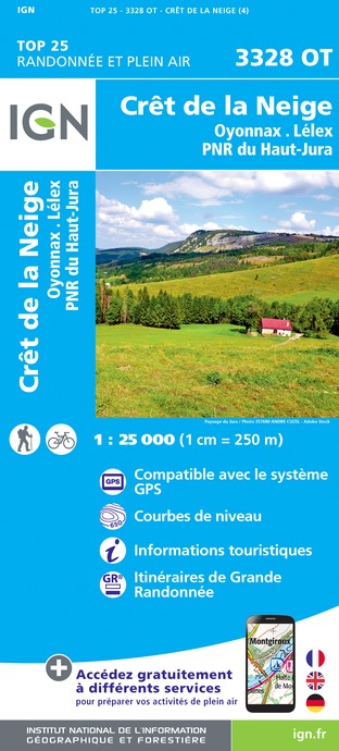
3328OT - CRÊT DE LA NEIGE OYONNAX LÉLEX PNR DU HAUT-JURA
Editor : IGN
Collection : TOP 25 ET SÉRIE BLEUE
Scale : 1:25 000
13.90€

TOP75012 - HAUT-JURA
Editor : IGN
Collection : TOP 75
Scale : 1:75 000
9.80€

TOP100D01 - AIN BOURG-EN-BRESSE AMBÉRIEU-EN-BUGEY PAYS DE GEX
Editor : IGN
Collection : TOP 100
Scale : 1:100 000
8.40€

TOP100D39 - JURA PAYS DE DOLE ET VAL D'AMOUR CHAMPAGNOLE LES ROUSSES PNR DU HAUT-JURA
Editor : IGN
Collection : TOP 100
Scale : 1:100 000
8.40€

TOP100D74 - HAUTE-SAVOIE ANNECY THONON-LES-BAINS MASSIF DU MONT BLANC CHAÎNE DES ARAVIS
Editor : IGN
Collection : TOP 100
Scale : 1:100 000
8.40€

202 JURA ALPES DU NORD
Editor : IGN
Collection : TOP 200
Scale : 1:200 000
6.80€

89026 - GRANDES TRAVERSÉES DU JURA - GTJ
Editor : IGN
Collection : DECOUVERTE DES CHEMINS
Scale : 1:105 000
9.10€

D01-69 AIN RHÔNE
Editor : IGN
Collection : CARTES DÉPARTEMENTALES IGN
Scale : 1:150 000
5.90€

D25-39 DOUBS JURA
Editor : IGN
Collection : CARTES DÉPARTEMENTALES IGN
Scale : 1:150 000
5.90€

NR15 AUVERGNE-RHÔNE-ALPES RECTO/VERSO MASSIF ALPIN
Editor : IGN
Collection : CARTES RÉGIONALES IGN
Scale : 1:250 000
6.80€

NR09 BOURGOGNE FRANCHE-COMTÉ
Editor : IGN
Collection : CARTES RÉGIONALES IGN
Scale : 1:250 000
6.80€

NR14 AUVERGNE-RHÔNE-ALPES RECTO/VERSO MASSIF CENTRAL
Editor : IGN
Collection : CARTES RÉGIONALES IGN
Scale : 1:250 000
6.80€

EUROPE
Editor : IGN
Collection : DÉCOUVERTE DES PAYS DU MONDE IGN
Scale : 1:2 500 000
7.00€
What to visit in GESTION'AIRE
See more suggestionsAttend events organized in GESTION'AIRE.
See more suggestions


Where to eat in GESTION'AIRE
See more suggestionsEstablishments in GESTION'AIRE offer dishes for all tastes.
See more suggestions


Where to sleep in GESTION'AIRE
See more suggestionsChoose from a variety of lodgings in GESTION'AIRE.
See more suggestions


