Alert
Alerts
Type of practice
Walking
4h
Presentation
Description
Map
Points of interest
Ratings and reviews
See around
Randonnée - Les deux vallées


Description
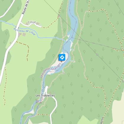
Hiking on the mountain near to the Ain and the Oignin rivers.
This hiking path is marked out in yellow. The starting point is at the lake of Oignin's edge. After reach the pass of Matafelon, the path runs into the forest. The path carry on until Coiselet, near to the Ain river. Next, the path follows the Oignin river until the hamlet of Charmines and the lake.
Technical Information
Walking
Difficulty
Not specified
Duration
4h
Dist.
12 km
Type of practice
Walking
4h
Show more
Altimetric profile
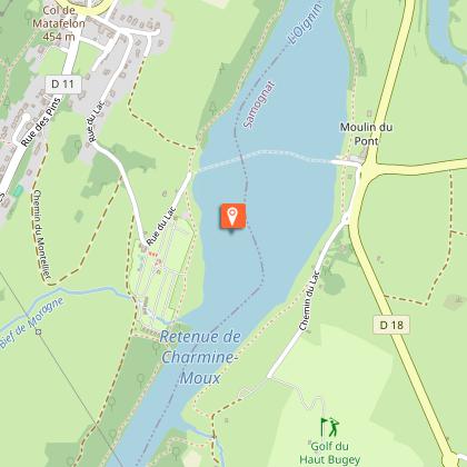
Starting point
Rue du lac
,
01580
Matafelon-Granges
Lat : 46.257123Lng : 5.558267
Points of interest
Additional information
Updated by
Office de Tourisme du Haut-Bugey - 03/01/2026
www.hautbugey-tourisme.com/
Report a problem
Animals
Yes
Data author

proposed by
Haut-Bugey Tourisme
14 rue du Docteur Mercier 01130 Nantua France
Ratings and reviews
To see around