Tours
Activities
Places of interest
Where to eat
Where to sleep
Le Domaine du Colombier: Discover Malataverne
Are you the owner?Set in the heart of Drôme, Le Domaine du Colombier is the perfect starting point to explore Malataverne and its surroundings. Start with a visit to the Château de Montélimar, a cultural and historical emblem, where you can dive into the fascinating history of the region. For nature enthusiasts, a hike in the Ardèche Gorges is a must: stunning landscapes and trails for all levels await you. Don’t m...See more
Walking around LE DOMAINE DU COLOMBIER
See more suggestionsDiscover the nature of LE DOMAINE DU COLOMBIER on foot.
See more suggestions


What to do in LE DOMAINE DU COLOMBIER
See more suggestionsFind bookable activities in LE DOMAINE DU COLOMBIER for an unforgettable experience.
See more suggestions


IGN cards
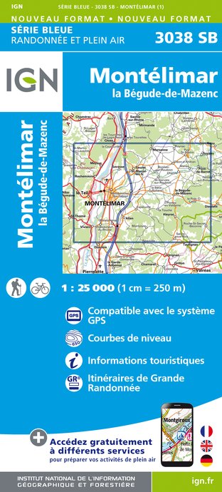
3038SB - MONTÉLIMAR LA BÉGUDE-DE-MAZENC
Editor : IGN
Collection : TOP 25 ET SÉRIE BLEUE
Scale : 1:25 000
13.90€
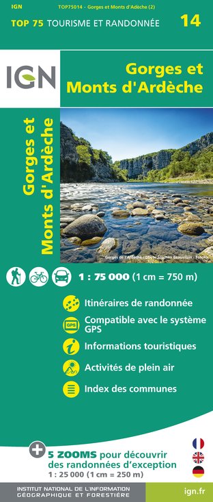
TOP75014 - GORGES ET MONTS D'ARDÈCHE
Editor : IGN
Collection : TOP 75
Scale : 1:75 000
9.80€

VEL01 - LA DRÔME A VELO
Editor : IGN
Collection : DECOUVERTE A VELO
Scale : 1:105 000
9.10€

TOP100D26 - DRÔME VALENCE MONTÉLIMAR DIE PNR DES BARONNIES PROVENÇALES PNR DU VERCORS
Editor : IGN
Collection : TOP 100
Scale : 1:100 000
8.40€

TOP100D84 - VAUCLUSE AVIGNON CARPENTRAS PARCS NATURELS RÉGIONAUX DU LUBERON ET DU MONT-VENTOUX
Editor : IGN
Collection : TOP 100
Scale : 1:100 000
8.40€

TOP100D07 - ARDÈCHE PRIVAS AUBENAS VALLON-PONT-D'ARC PNR DES MONTS D'ARDÈCHE
Editor : IGN
Collection : TOP 100
Scale : 1:100 000
8.40€

D13-84 BOUCHES-DU-RHÔNE VAUCLUSE
Editor : IGN
Collection : CARTES DÉPARTEMENTALES IGN
Scale : 1:150 000
5.90€

D07-26 ARDÈCHE DRÔME
Editor : IGN
Collection : CARTES DÉPARTEMENTALES IGN
Scale : 1:150 000
5.90€

NR16 PROVENCE-ALPES-CÔTE D'AZUR
Editor : IGN
Collection : CARTES RÉGIONALES IGN
Scale : 1:250 000
6.80€

EUROPE
Editor : IGN
Collection : DÉCOUVERTE DES PAYS DU MONDE IGN
Scale : 1:2 500 000
7.00€
What to visit in LE DOMAINE DU COLOMBIER
See more suggestionsExperience the annual festivals of LE DOMAINE DU COLOMBIER.
See more suggestions


Where to eat in LE DOMAINE DU COLOMBIER
See more suggestionsChefs in LE DOMAINE DU COLOMBIER will delight you.
See more suggestions


Where to sleep in LE DOMAINE DU COLOMBIER
See more suggestionsFind lodging to suit your needs in LE DOMAINE DU COLOMBIER.
See more suggestions


