Tours
Activities
Places of interest
Where to eat
Where to sleep
Explore Gargas from Coquillade Provence Hotel
Are you the owner?Nestled in the heart of Vaucluse, the region of Gargas offers natural and cultural wonders that will enchant landscape lovers and local discovery enthusiasts. Staying at Coquillade Provence, you'll have the chance to explore the ochres of Roussillon, spectacular geological formations with dazzling hues. Just a few kilometers away, the village of Gordes, listed among the most beautiful villages in ...See more
Walking around COQUILLADE PROVENCE
See more suggestionsEnjoy pleasant walks in COQUILLADE PROVENCE.
See more suggestions


What to do in COQUILLADE PROVENCE
See more suggestionsBook your activities in COQUILLADE PROVENCE and experience memorable moments.
See more suggestions


IGN cards
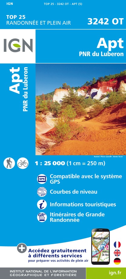
3242OT - APT PNR DU LUBERON
Editor : IGN
Collection : TOP 25 ET SÉRIE BLEUE
Scale : 1:25 000
13.90€

TOP75034 - LUBERON MONT VENTOUX
Editor : IGN
Collection : TOP 75
Scale : 1:75 000
9.80€

VEL03 - LE VAUCLUSE A VÉLO
Editor : IGN
Collection : DECOUVERTE A VELO
Scale : 1:100 000
9.10€

TOP100D13 - BOUCHES-DU-RHÔNE MARSEILLE AIX-EN-PROVENCE PARC NATIONAL DES CALANQUES PNR DES ALPILLES ET DE CAMARGUE
Editor : IGN
Collection : TOP 100
Scale : 1:100 000
8.40€

TOP100D84 - VAUCLUSE AVIGNON CARPENTRAS PARCS NATURELS RÉGIONAUX DU LUBERON ET DU MONT-VENTOUX
Editor : IGN
Collection : TOP 100
Scale : 1:100 000
8.40€

D04-05 ALPES-DE-HAUTE-PROVENCE HAUTES-ALPES
Editor : IGN
Collection : CARTES DÉPARTEMENTALES IGN
Scale : 1:150 000
5.90€

D13-84 BOUCHES-DU-RHÔNE VAUCLUSE
Editor : IGN
Collection : CARTES DÉPARTEMENTALES IGN
Scale : 1:150 000
5.90€

NR14 AUVERGNE-RHÔNE-ALPES RECTO/VERSO MASSIF CENTRAL
Editor : IGN
Collection : CARTES RÉGIONALES IGN
Scale : 1:250 000
6.80€

NR16 PROVENCE-ALPES-CÔTE D'AZUR
Editor : IGN
Collection : CARTES RÉGIONALES IGN
Scale : 1:250 000
6.80€

NR15 AUVERGNE-RHÔNE-ALPES RECTO/VERSO MASSIF ALPIN
Editor : IGN
Collection : CARTES RÉGIONALES IGN
Scale : 1:250 000
6.80€

EUROPE
Editor : IGN
Collection : DÉCOUVERTE DES PAYS DU MONDE IGN
Scale : 1:2 500 000
7.00€
What to visit in COQUILLADE PROVENCE
See more suggestionsTake a boat tour around COQUILLADE PROVENCE.
See more suggestions


Where to eat in COQUILLADE PROVENCE
See more suggestionsRestaurants in COQUILLADE PROVENCE will captivate you.
See more suggestions


Where to sleep in COQUILLADE PROVENCE
See more suggestionsStay in unique accommodations in COQUILLADE PROVENCE.
See more suggestions


