Tours
Activities
Places of interest
Where to eat
Where to sleep
Le claon, Meuse, Lorraine
Are you in charge of the destination?Le Claon, nestled in the Meuse department of Lorraine, is a hidden gem that promises a peaceful and enriching getaway. With its lush landscapes and charming tree-lined streets, this small commune offers a perfect retreat away from urban hustle. Le Claon is surrounded by nature, providing multiple hiking trails for outdoor enthusiasts. The region is also rich in history, with monuments and memorial...See more


What to do in Le claon
See more suggestionsOrganize your days in Le claon with bookable activities for the whole family.
See more suggestions


IGN cards
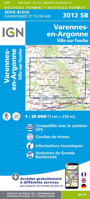
3012SB - VARENNES-EN-ARGONNE VILLE-SUR-TOURBE
Editor : IGN
Collection : TOP 25 ET SÉRIE BLEUE
Scale : 1:25 000
13.90€
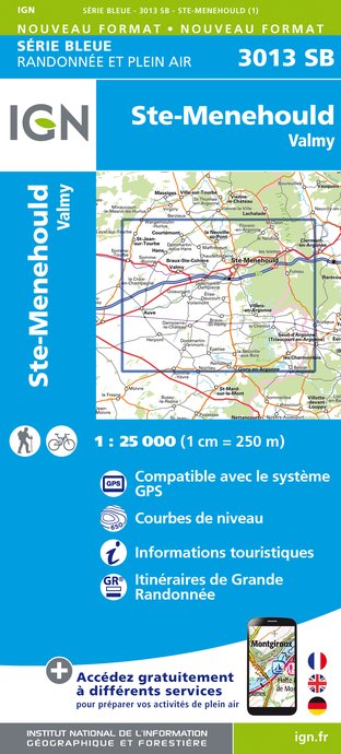
3013SB - SAINTE-MENEHOULD VALMY
Editor : IGN
Collection : TOP 25 ET SÉRIE BLEUE
Scale : 1:25 000
13.90€

110 REIMS SAINT-DIZIER PNR DE LA MONTAGNE DE REIMS VIGNOBLES DE CHAMPAGNE
Editor : IGN
Collection : TOP 100
Scale : 1:100 000
8.40€

D51-55 MARNE MEUSE
Editor : IGN
Collection : CARTES DÉPARTEMENTALES IGN
Scale : 1:150 000
5.90€

D02-08 AISNE ARDENNES
Editor : IGN
Collection : CARTES DÉPARTEMENTALES IGN
Scale : 1:150 000
5.90€

EUROPE
Editor : IGN
Collection : DÉCOUVERTE DES PAYS DU MONDE IGN
Scale : 1:2 500 000
7.00€

87055 - BATAILLE DE VERDUN
Editor : IGN
Collection : ÉVÈNEMENT
Scale : 1:75 000
8.50€
What to visit in Le claon
See more suggestionsStroll through the historic districts of Le claon.
See more suggestions


Where to eat in Le claon
See more suggestionsSavor culinary specialties in Le claon.
See more suggestions


Where to sleep in Le claon
See more suggestionsEnjoy our accommodation recommendations in Le claon.
See more suggestions


