Tours
Activities
Places of interest
Where to eat
Where to sleep
Discover Apt from the Heart of Lubea Camping
Are you the owner?Welcome to Lubea Camping, your gateway to uncovering the treasures of Apt and its surroundings in Vaucluse, Provence-Alpes-Côte d'Azur. Nestled in the heart of the Luberon, Apt is famed for its vibrant markets, charming alleyways, and rich history. Embark on adventures along numerous hiking trails that weave through breathtaking landscapes. Don't miss Sainte-Anne Cathedral, an architectural gem, o...See more
Walking around LUBEA CAMPING
See more suggestionsWalks and discoveries in LUBEA CAMPING.
See more suggestions


What to do in LUBEA CAMPING
See more suggestionsFind the best activities in LUBEA CAMPING and book easily online.
See more suggestions


IGN cards
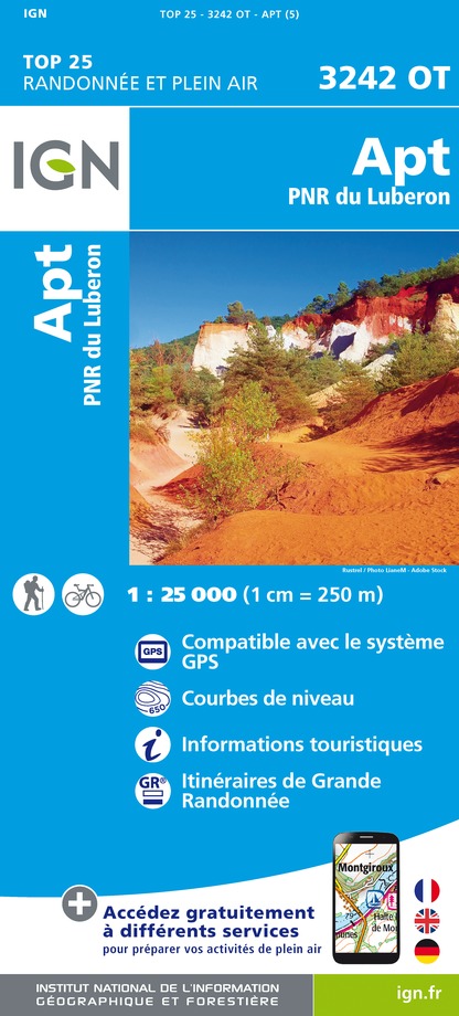
3242OT - APT PNR DU LUBERON
Editor : IGN
Collection : TOP 25 ET SÉRIE BLEUE
Scale : 1:25 000
13.90€

TOP75034 - LUBERON MONT VENTOUX
Editor : IGN
Collection : TOP 75
Scale : 1:75 000
9.80€

VEL03 - LE VAUCLUSE A VÉLO
Editor : IGN
Collection : DECOUVERTE A VELO
Scale : 1:100 000
9.10€

TOP100D13 - BOUCHES-DU-RHÔNE MARSEILLE AIX-EN-PROVENCE PARC NATIONAL DES CALANQUES PNR DES ALPILLES ET DE CAMARGUE
Editor : IGN
Collection : TOP 100
Scale : 1:100 000
8.40€

TOP100D84 - VAUCLUSE AVIGNON CARPENTRAS PARCS NATURELS RÉGIONAUX DU LUBERON ET DU MONT-VENTOUX
Editor : IGN
Collection : TOP 100
Scale : 1:100 000
8.40€

D04-05 ALPES-DE-HAUTE-PROVENCE HAUTES-ALPES
Editor : IGN
Collection : CARTES DÉPARTEMENTALES IGN
Scale : 1:150 000
5.90€

D13-84 BOUCHES-DU-RHÔNE VAUCLUSE
Editor : IGN
Collection : CARTES DÉPARTEMENTALES IGN
Scale : 1:150 000
5.90€

D83 VAR
Editor : IGN
Collection : CARTES DÉPARTEMENTALES IGN
Scale : 1:150 000
5.90€

NR14 AUVERGNE-RHÔNE-ALPES RECTO/VERSO MASSIF CENTRAL
Editor : IGN
Collection : CARTES RÉGIONALES IGN
Scale : 1:250 000
6.80€

NR16 PROVENCE-ALPES-CÔTE D'AZUR
Editor : IGN
Collection : CARTES RÉGIONALES IGN
Scale : 1:250 000
6.80€

NR15 AUVERGNE-RHÔNE-ALPES RECTO/VERSO MASSIF ALPIN
Editor : IGN
Collection : CARTES RÉGIONALES IGN
Scale : 1:250 000
6.80€

EUROPE
Editor : IGN
Collection : DÉCOUVERTE DES PAYS DU MONDE IGN
Scale : 1:2 500 000
7.00€
What to visit in LUBEA CAMPING
See more suggestionsVisit the museums and galleries of LUBEA CAMPING.
See more suggestions


Where to eat in LUBEA CAMPING
See more suggestionsThe dining spots in LUBEA CAMPING have surprises in store.
See more suggestions


Where to sleep in LUBEA CAMPING
See more suggestionsExplore lodging possibilities in LUBEA CAMPING.
See more suggestions

