Tours
Activities
Places of interest
Where to eat
Where to sleep
Camping la Griotte: Discover Bormes-les-Mimosas
Are you the owner?Welcome to Bormes-les-Mimosas, a gem in the Provence-Alpes-Côte d'Azur, where every landscape tells a story and every activity promises an adventure. During your stay at Camping la Griotte, don't miss the charming medieval village of Bormes-les-Mimosas. Stroll through its cobblestone streets lined with bougainvillea and discover the Saint-Trophyme church and the Seigneurs de Fos castle. Nature lov...See more
Walking around CAMPING LA GRIOTTE
See more suggestionsWalks and discoveries in CAMPING LA GRIOTTE.
See more suggestions


What to do in CAMPING LA GRIOTTE
See more suggestionsEnjoy the activities available in CAMPING LA GRIOTTE for moments of relaxation and fun.
See more suggestions


IGN cards
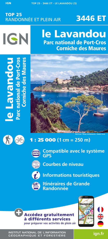
3446ET - LE LAVANDOU PARC NATIONAL DE PORT-CROS - CORNICHE DES MAURES
Editor : IGN
Collection : TOP 25 ET SÉRIE BLEUE
Scale : 1:25 000
13.90€

VEL06 - LE VAR A VELO
Editor : IGN
Collection : DECOUVERTE A VELO
Scale : 1:110 000
9.10€

TOP100D83 - VAR TOULON FRÉJUS MASSIFS DES MAURES ET DE L'ESTEREL PARC NATUREL RÉGIONAL DU VERDON
Editor : IGN
Collection : TOP 100
Scale : 1:100 000
8.40€

D83 VAR
Editor : IGN
Collection : CARTES DÉPARTEMENTALES IGN
Scale : 1:150 000
5.90€

D06 ALPES-MARITIMES
Editor : IGN
Collection : CARTES DÉPARTEMENTALES IGN
Scale : 1:150 000
5.90€

NR16 PROVENCE-ALPES-CÔTE D'AZUR
Editor : IGN
Collection : CARTES RÉGIONALES IGN
Scale : 1:250 000
6.80€

EUROPE
Editor : IGN
Collection : DÉCOUVERTE DES PAYS DU MONDE IGN
Scale : 1:2 500 000
7.00€
What to visit in CAMPING LA GRIOTTE
See more suggestionsShop in the boutiques of CAMPING LA GRIOTTE.
See more suggestions


Where to eat in CAMPING LA GRIOTTE
See more suggestionsExperience CAMPING LA GRIOTTE's gastronomy.
See more suggestions


Where to sleep in CAMPING LA GRIOTTE
See more suggestionsDiscover available accommodations around CAMPING LA GRIOTTE.
See more suggestions


