Tours
Activities
Places of interest
Where to eat
Where to sleep
Camping de la Trillonnière: Discover Mornant's Charms and Attractions
Are you the owner?Nestled in the delightful town of Mornant in the Rhône-Alpes region, Camping de la Trillonnière is your gateway to a wealth of discoveries and adventures. Hiking enthusiasts can embark on numerous marked trails around Lake Ronzey, perfect for a day in the great outdoors. Explore the surrounding vineyards and savor the exquisite wines of Côte-Rôtie and Condrieu, true oenological gems of the region....See more
Walking around CAMPING DE LA TRILLONNIERE
See more suggestionsDiscover the trails of CAMPING DE LA TRILLONNIERE.
See more suggestions


What to do in CAMPING DE LA TRILLONNIERE
See more suggestionsExplore the many bookable activities in CAMPING DE LA TRILLONNIERE and make the most of every moment.
See more suggestions


IGN cards
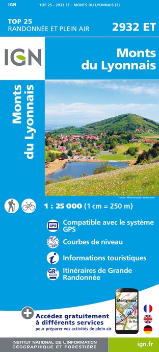
2932ET - MONTS DU LYONNAIS
Editor : IGN
Collection : TOP 25 ET SÉRIE BLEUE
Scale : 1:25 000
13.90€
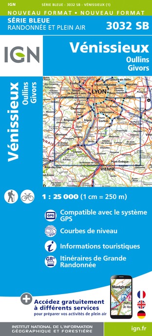
3032SB - VÉNISSIEUX OULLINS GIVORS
Editor : IGN
Collection : TOP 25 ET SÉRIE BLEUE
Scale : 1:25 000
13.90€
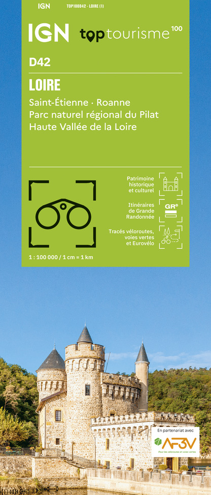
TOP100D42 - LOIRE SAINT-ÉTIENNE ROANNE PARC NATUREL RÉGIONAL DU PILAT HAUTE VALLÉE DE LA LOIRE
Editor : IGN
Collection : TOP 100
Scale : 1:100 000
8.40€
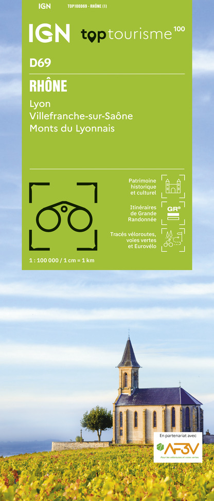
TOP100D69 - RHÔNE LYON VILLEFRANCHE-SUR-SAÔNE MONTS DU LYONNAIS
Editor : IGN
Collection : TOP 100
Scale : 1:100 000
8.40€

202 JURA ALPES DU NORD
Editor : IGN
Collection : TOP 200
Scale : 1:200 000
6.80€

88403 - LYON ET SES ENVIRONS
Editor : IGN
Collection : DÉCOUVERTE DES VILLES
Scale : 1:80 000
5.70€

D38 ISÈRE
Editor : IGN
Collection : CARTES DÉPARTEMENTALES IGN
Scale : 1:150 000
5.90€

D42-43 LOIRE HAUTE-LOIRE
Editor : IGN
Collection : CARTES DÉPARTEMENTALES IGN
Scale : 1:150 000
5.90€

D01-69 AIN RHÔNE
Editor : IGN
Collection : CARTES DÉPARTEMENTALES IGN
Scale : 1:150 000
5.90€

EUROPE
Editor : IGN
Collection : DÉCOUVERTE DES PAYS DU MONDE IGN
Scale : 1:2 500 000
7.00€
What to visit in CAMPING DE LA TRILLONNIERE
See more suggestionsAttend shows and concerts in CAMPING DE LA TRILLONNIERE.
See more suggestions


Where to eat in CAMPING DE LA TRILLONNIERE
See more suggestionsA wide selection of restaurants awaits you in CAMPING DE LA TRILLONNIERE.
See more suggestions


Where to sleep in CAMPING DE LA TRILLONNIERE
See more suggestionsStay at one of the many hotels in CAMPING DE LA TRILLONNIERE.
See more suggestions


