Tours
Activities
Places of interest
Where to eat
Where to sleep
Experience CAMPING L'ILE DES PECHEURS in Condrieu, Rhône-Alpes
Are you the owner?Welcome to CAMPING L'ILE DES PECHEURS, situated in the heart of Condrieu in the stunning Rhône-Alpes region. Exploring this charming area offers a wealth of activities and attractions to make your stay memorable.
Start your adventure with a visit to the renowned Ile du Beurre nature reserve, a haven for nature and bird lovers. Stroll along the marked trails and don't miss the diverse local flora...See more
Start your adventure with a visit to the renowned Ile du Beurre nature reserve, a haven for nature and bird lovers. Stroll along the marked trails and don't miss the diverse local flora...See more
Walking around CAMPING L'ILE DES PECHEURS
See more suggestionsAccessible hikes near CAMPING L'ILE DES PECHEURS.
See more suggestions


What to do in CAMPING L'ILE DES PECHEURS
See more suggestionsFind the best activities in CAMPING L'ILE DES PECHEURS and book easily online.
See more suggestions


IGN cards

3033SB - VIENNE ROUSSILLON
Editor : IGN
Collection : TOP 25 ET SÉRIE BLEUE
Scale : 1:25 000
13.90€
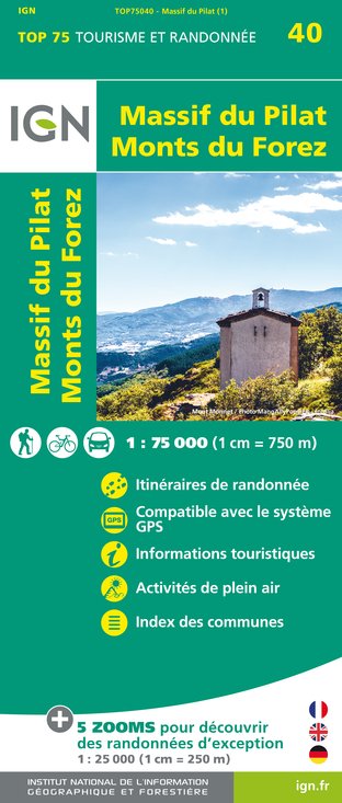
TOP75040 - MASSIF DU PILAT MONTS DU FOREZ
Editor : IGN
Collection : TOP 75
Scale : 1:75 000
9.80€
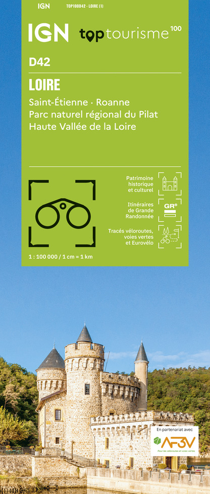
TOP100D42 - LOIRE SAINT-ÉTIENNE ROANNE PARC NATUREL RÉGIONAL DU PILAT HAUTE VALLÉE DE LA LOIRE
Editor : IGN
Collection : TOP 100
Scale : 1:100 000
8.40€
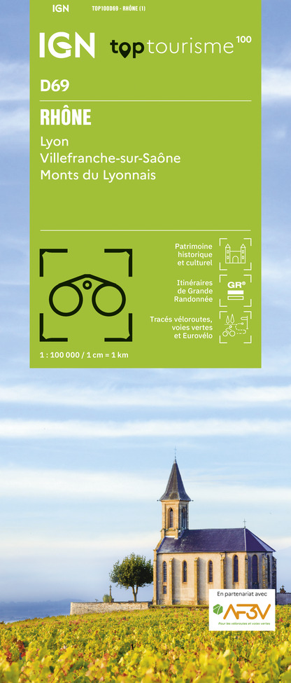
TOP100D69 - RHÔNE LYON VILLEFRANCHE-SUR-SAÔNE MONTS DU LYONNAIS
Editor : IGN
Collection : TOP 100
Scale : 1:100 000
8.40€

202 JURA ALPES DU NORD
Editor : IGN
Collection : TOP 200
Scale : 1:200 000
6.80€

D38 ISÈRE
Editor : IGN
Collection : CARTES DÉPARTEMENTALES IGN
Scale : 1:150 000
5.90€

D42-43 LOIRE HAUTE-LOIRE
Editor : IGN
Collection : CARTES DÉPARTEMENTALES IGN
Scale : 1:150 000
5.90€

D01-69 AIN RHÔNE
Editor : IGN
Collection : CARTES DÉPARTEMENTALES IGN
Scale : 1:150 000
5.90€

EUROPE
Editor : IGN
Collection : DÉCOUVERTE DES PAYS DU MONDE IGN
Scale : 1:2 500 000
7.00€
What to visit in CAMPING L'ILE DES PECHEURS
See more suggestionsShop in the boutiques of CAMPING L'ILE DES PECHEURS.
See more suggestions


Where to eat in CAMPING L'ILE DES PECHEURS
See more suggestionsRestaurants in CAMPING L'ILE DES PECHEURS offer a friendly atmosphere.
See more suggestions


Where to sleep in CAMPING L'ILE DES PECHEURS
See more suggestionsBook a quality accommodation in CAMPING L'ILE DES PECHEURS.
See more suggestions


