Tours
Activities
Places of interest
Where to eat
Where to sleep
CYBELE VACANCES CAMPING DES ALBERES: Explore Laroque-des-alberes
Are you the owner?Dive into an unforgettable adventure at CYBELE VACANCES CAMPING DES ALBERES in Laroque-des-alberes, Pyrénées-Orientales, Languedoc-Roussillon. Nestled in the heart of the magnificent Parc Naturel Régional des Pyrénées Catalanes, this campsite is the perfect starting point for exploring a plethora of local activities and attractions.
Start your days with a hike along the many marked trails, such a...See more
Start your days with a hike along the many marked trails, such a...See more
Walking around CYBELE VACANCES CAMPING DES ALBERES
See more suggestionsHiking routes in CYBELE VACANCES CAMPING DES ALBERES.
See more suggestions
![[Stroll] The Two Ovens](https://fichier0.cirkwi.com/image/photo/circuit/380x250/474762/fr/0.jpg?1765584551 "[Stroll] The Two Ovens")


![[Stroll] Discovering the flora and fauna](https://fichier0.cirkwi.com/image/photo/circuit/380x250/474754/fr/0.jpg?1765584501 "[Stroll] Discovering the flora and fauna")
![[Liaison] Office de Tourisme de Laroque - Eurovélo 8 Sorède [Link] Laroque Tourist Office - Eurovélo 8 Sorède](https://fichier0.cirkwi.com/image/photo/circuit/380x250/474784/fr/0.jpg?1765584675 "[Liaison] Office de Tourisme de Laroque - Eurovélo 8 Sorède [Link] Laroque Tourist Office - Eurovélo 8 Sorède")


What to do in CYBELE VACANCES CAMPING DES ALBERES
See more suggestionsChoose from a variety of activities in CYBELE VACANCES CAMPING DES ALBERES and book your favorites.
See more suggestions


IGN cards
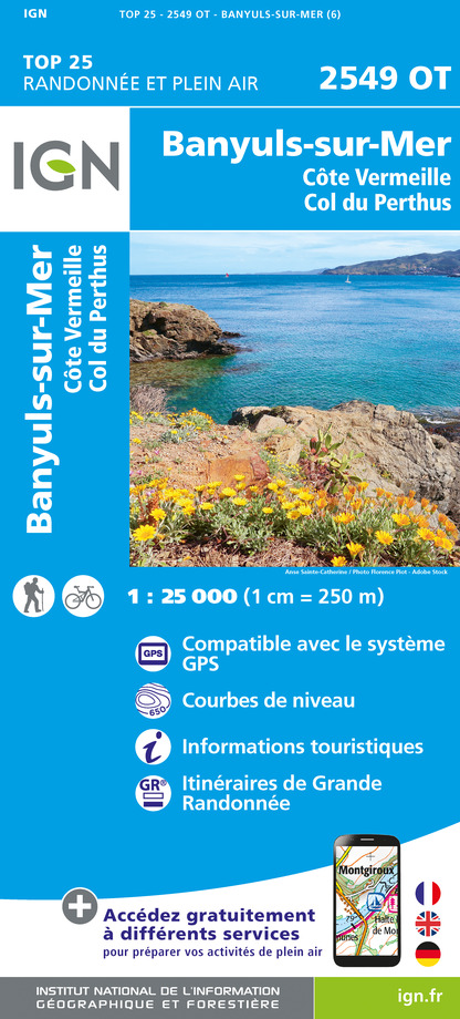
2549OT - BANYULS-SUR-MER CÔTE VERMEILLE - COL DU PERTHUS
Editor : IGN
Collection : TOP 25 ET SÉRIE BLEUE
Scale : 1:25 000
13.90€

TOP100D66 - PYRÉNÉES-ORIENTALES PERPIGNAN PRADES CÉRET CÔTE VERMEILLE PNR DES PYRÉNÉES CATALANES
Editor : IGN
Collection : TOP 100
Scale : 1:100 000
8.40€

89030 - TRAVERSEE DES PYRENEES GR10®
Editor : IGN
Collection : DECOUVERTE DES CHEMINS
Scale : 1:100 000
9.10€

D09-66 ARIÈGE PYRÉNÉES-ORIENTALES
Editor : IGN
Collection : CARTES DÉPARTEMENTALES IGN
Scale : 1:150 000
5.90€

EUROPE
Editor : IGN
Collection : DÉCOUVERTE DES PAYS DU MONDE IGN
Scale : 1:2 500 000
7.00€
What to visit in CYBELE VACANCES CAMPING DES ALBERES
See more suggestionsDiscover the local markets of CYBELE VACANCES CAMPING DES ALBERES.
See more suggestions


Where to eat in CYBELE VACANCES CAMPING DES ALBERES
See more suggestionsSavor culinary specialties in CYBELE VACANCES CAMPING DES ALBERES.
See more suggestions


Where to sleep in CYBELE VACANCES CAMPING DES ALBERES
See more suggestionsChoose a comfortable accommodation in CYBELE VACANCES CAMPING DES ALBERES.
See more suggestions


