Tours
Activities
Places of interest
Where to eat
Where to sleep
Discover the attractions near Les Micocouliers
Are you the owner?Nestled in Sorede, Pyrénées-Orientales, in the picturesque Languedoc-Roussillon region, Les Micocouliers is the perfect starting point for a plethora of exciting activities. Begin with a hike in the majestic Albères mountains, where you can enjoy stunning biodiversity and breathtaking landscapes. Don’t miss a visit to La Vallée des Tortues, an intriguing sanctuary for these fascinating creatures, ...See more
Walking around LES MICOCOULIERS
See more suggestionsDiscover the nature of LES MICOCOULIERS on foot.
See more suggestions
![[Walk] Discovery Trail of Sorède](https://fichier0.cirkwi.com/image/photo/circuit/380x250/474765/fr/0.jpg?1765584577 "[Walk] Discovery Trail of Sorède")


 from Sorède to Argelès-sur-Mer")


What to do in LES MICOCOULIERS
See more suggestionsFind the best activities in LES MICOCOULIERS and book easily online.
See more suggestions


IGN cards
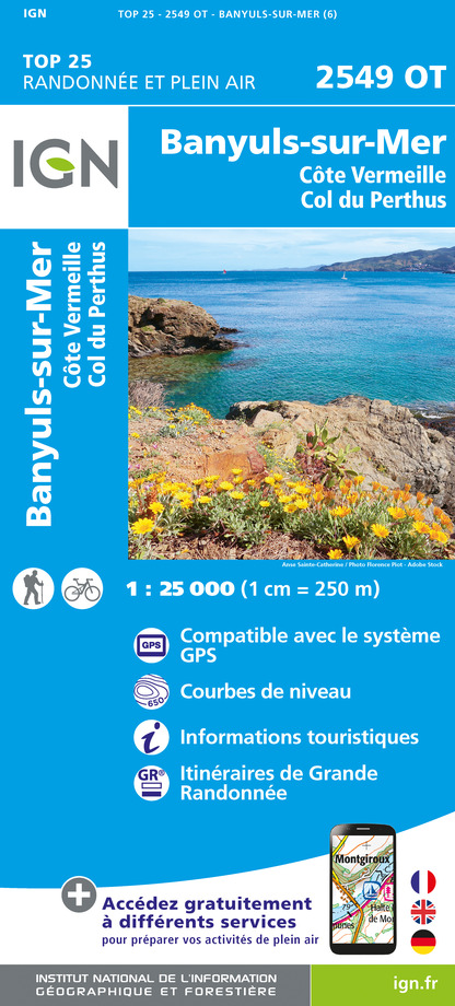
2549OT - BANYULS-SUR-MER CÔTE VERMEILLE - COL DU PERTHUS
Editor : IGN
Collection : TOP 25 ET SÉRIE BLEUE
Scale : 1:25 000
13.90€

TOP100D66 - PYRÉNÉES-ORIENTALES PERPIGNAN PRADES CÉRET CÔTE VERMEILLE PNR DES PYRÉNÉES CATALANES
Editor : IGN
Collection : TOP 100
Scale : 1:100 000
8.40€

89030 - TRAVERSEE DES PYRENEES GR10®
Editor : IGN
Collection : DECOUVERTE DES CHEMINS
Scale : 1:100 000
9.10€

D09-66 ARIÈGE PYRÉNÉES-ORIENTALES
Editor : IGN
Collection : CARTES DÉPARTEMENTALES IGN
Scale : 1:150 000
5.90€

EUROPE
Editor : IGN
Collection : DÉCOUVERTE DES PAYS DU MONDE IGN
Scale : 1:2 500 000
7.00€
What to visit in LES MICOCOULIERS
See more suggestionsEnjoy the green spaces of LES MICOCOULIERS.
See more suggestions


Where to eat in LES MICOCOULIERS
See more suggestionsEnjoy delicious dishes at LES MICOCOULIERS's restaurants.
See more suggestions


Where to sleep in LES MICOCOULIERS
See more suggestionsBook your stay at one of LES MICOCOULIERS's accommodations.
See more suggestions


