Alert
Alerts
Marseille – Ride Along the Southern Coast, Parks & Châteaux

Description
✨ In a nutshell: this itinerary combines historical heritage (Pharo, Borély, Pastré), spectacular coastal landscapes (Corniche, Prado, Goudes), and the authentic soul of Marseille in its fishing villages. A perfect day to experience the essence of southern Marseille, blending culture, nature, and the Mediterranean.
➡️ This route takes you directly to the southern part of the city. For a deeper discovery of Marseille’s historic center, another itinerary is available (Mucem, Panier, Pharo, Malmousque, Vallon des Auffes, Prophet’s Beach, and Notre-Dame de la Garde).
🔧 Practical information before you go
Start: Indigo Parking – Centre Bourse
Duration: 5 to 8 hours (depending on visits, swimming stops, picnic breaks)
Distance: about 37 km
Bring along: Water, sunscreen, sunglasses, swimsuit, comfortable shoes
Difficulty: Easy (a few climbs but mostly flat along the sea)
🗺️ Step-by-step itinerary
Centre-Bourse → Vieux-Port
Right from the start, cycle through the vibrant heart of Marseille. The Vieux-Port, cradle of the city, offers a unique atmosphere of fishermen, boats, and lively terraces.
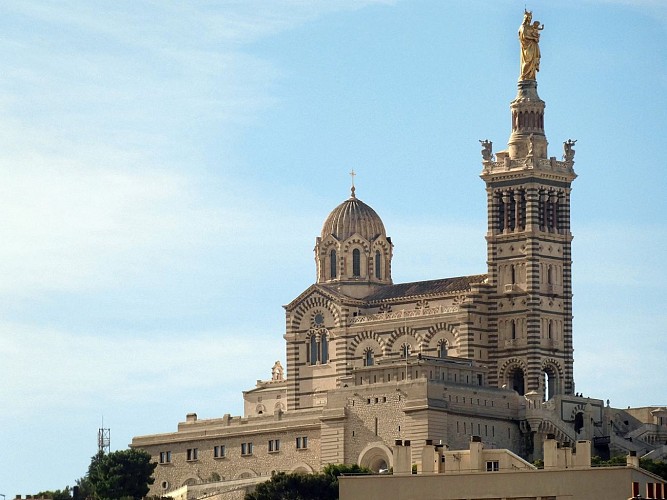
👉 For the curious: a short detour to the Palais du Pharo rewards you with an exceptional panoramic view of the Vieux-Port, Notre-Dame de la Garde, and Fort Saint-Jean.
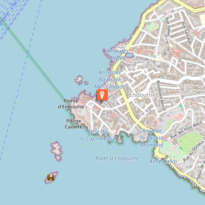
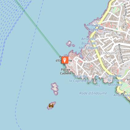
Corniche Kennedy
Ride along the legendary Corniche Kennedy, an urban balcony suspended above the Mediterranean. From here, enjoy breathtaking views of Château d’If and the Frioul Islands.
📍 Don’t miss the Marégraphe, a historic monument that has measured sea levels since 1883.
The Prado Beaches
Time for a swim at Prado, a wide stretch of sandy beaches loved by families and athletes alike. A true seaside atmosphere!
Borély Park & Château Borély
Enter the greenery of Borély Park, one of Marseille’s most beautiful gardens. The 18th-century Château Borély, listed as a Historic Monument, is now home to the Museum of Decorative Arts, Faience, and Fashion.
Pastré Park & Château Pastré
Wilder and more hilly, Pastré Park is perfect for a picnic break. Here you’ll find bastides and ruins of the Pastré estate, reminders of Marseille’s 19th-century bourgeois past.
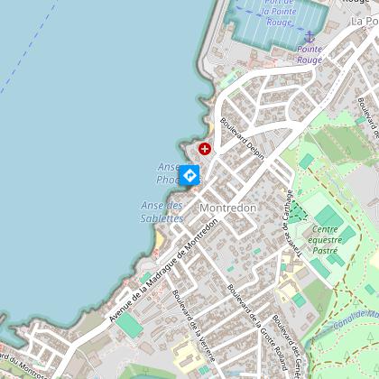
La Pointe Rouge → Montredon → La Madrague
The ride continues along the seafront:
Pointe Rouge: a lively beach, hub for water sports.
Montredon & La Madrague: smaller coves with a charming fishing village feel.
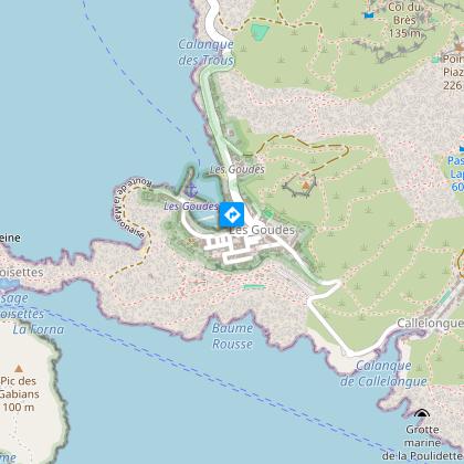
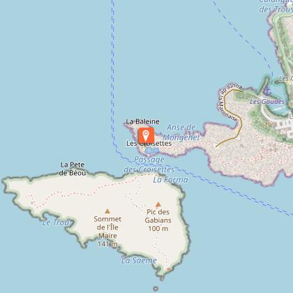
Les Goudes, the “end of the world” village
Arrive at the picturesque village of Les Goudes, with its tightly packed cabanons, white limestone rocks, and breathtaking panoramas. This true “end of the world” marks the gateway to the Calanques National Park.
🎯 From here, you can set out on a hike to the calanques of Morgiou or Sormiou, Mediterranean gems of unspoiled beauty.
Return to the Vieux-Port
Head back along the same route. The scenery takes on a completely new perspective: the coast, the city, and the sea reveal different lights and contrasts.
✨ Magical moment: at the end of the day, the sunset behind the Frioul Islands with its orange glow over the city offers an unforgettable spectacle by bike.
Technical Information
Altimetric profile
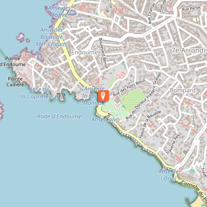
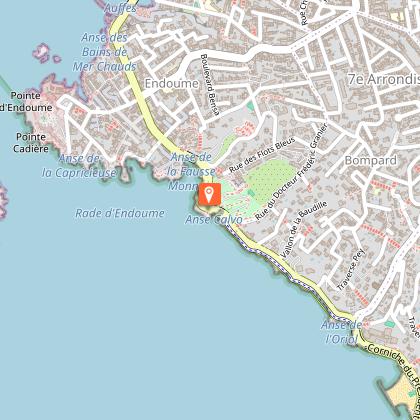
Starting point
Steps
Points of interest


Data author
