Le Quié
Description
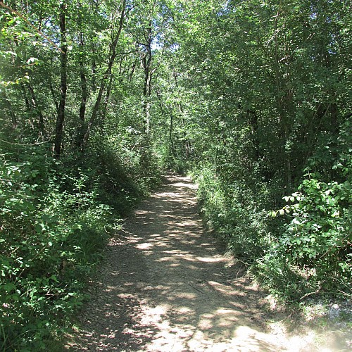
Leaving the greenway next to the Super U store, you will join a path along the woods and a stream in a loop that will take you to the ruins of Quié, a former hamlet demolished.
Technical Information
Altimetric profile
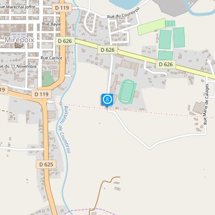
Starting point
Steps
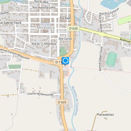
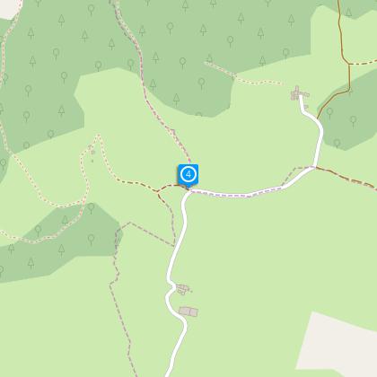
Starting point
Go to Super U. From there, follow the red and white markings of the GR7 along the old railway to the old guard gates.
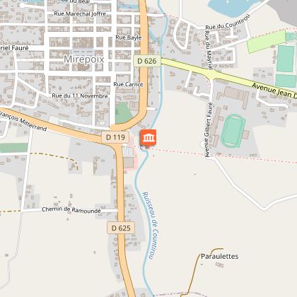
Step 2
Turn right to follow a tarmac path 1.2km, and then leave the path to follow a track along the woods and a creek.
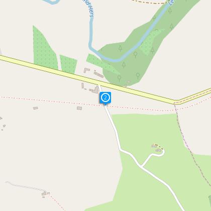
Step 3
The path leaves the woods and meadows to reach an asphalt road (a place called Camp Grand)
Step 4
Then leaving the GR7 to the left, follow the yellow tags right then climb the hill. It takes 10 minutes to reach the ruins of Fort Quié.
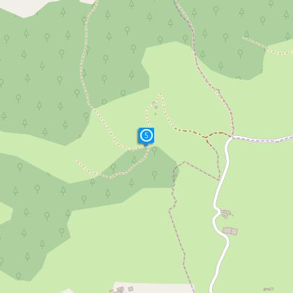
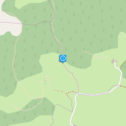
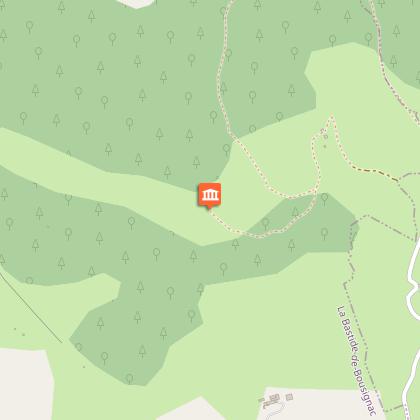
Step 5
Go through the ruins, take the path down the left which leads you to a 1st and 2nd intersection at the foot of a slope. Alternative: From there you can mount, in return, to the marker 503 where you get a panoramic view over the massif de Tabe & la vallée de l'Hers. Otherwise, take the path down to the right to descend gradually into the woods.
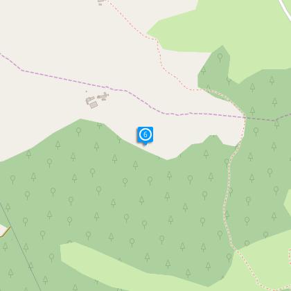
Step 6
After 500 meters you reach a fence, be sure to close it behind you.
Step 7
Continue straight on the road that descends alongside a fence on your left to reach a house called "La Baraque"
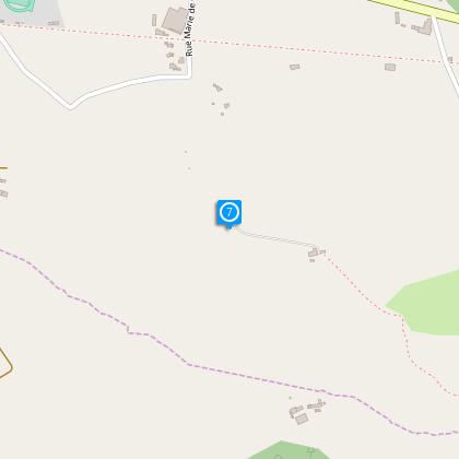
Step 8
Go on up the road taking the right path winding amid the fields and join the green lane which will bring you back to the start of the trail.
Points of interest
The old railroad
In 1903, the Mirepoix-Chalabre-Lavelnet line made it possible to link the industrial valley of the Hers to the national railway network via Bram or Pamiers. Up to seven trains run every day. The Compagnie des Chemins de Fer du Midi is responsible for the operation of the passenger, mail and goods transport line: raw materials (fir wood), manufactured products (textile and horn comb). More than two hundred factories and thousands of workers thus make the local economy of draperies, headgear, combs and shoes work. From 1945, the development of road transport and deindustrialization gradually reduce the use of the track. A diesel lessor then replaces the steam train. In 1973, the train whistled one last time on the line. History of a railroad become a hiking trail ...
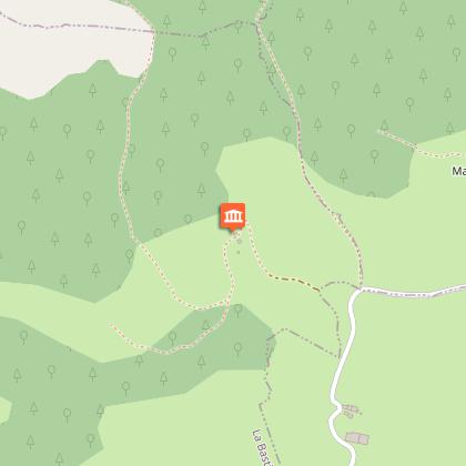
The ruins of Fort du Quié
This ancient demolished hamlet today only corresponds to a locality: no one has lived there for at least 60 years. This culminating point of the town was inhabited by farmers and it is said that in the war of 14-18, the farmer, returned on leave to Quié, found his wife in bed with the employee, he would have killed on the field, before deserting.
Massif de Tabe et Valley de l'Hers
This massif (aka massif of St. Barthelmie) has always been to the peoples who lived under its shadow, a spiritual importance of first order: many megalithic remains, sun worship from the most likely ancient, pagan cults attested by the historical writing. The name "Tabe" is the French language of Occitan "Tava / Tabo". A broad consensus is that name from the name of "Mount Tabor", in Palestine, which took place the Biblical episode of the Transfiguration of Christ.
Additional information
To see
Les ruines du Fort du Quié :
This ancient demolished village is now but a location : nobody has lived there for at least 60 years. The point of culmination for the commune was inhabited by farmers and it is said that the war of 14-18, the farmer, returning with permission to Quié, would have found his wife in bed with the employee and would have killed him on the field before deserting.
Massif of Tabe and Valley of the Hers :
This massif (aka massif of St. Bartholomew) has always been to the peoples who lived under its shadow, a spiritual importance of first order: many megalithic remains, sun worship from the most likely ancient, pagan cults attested by the historical writing. The name "Tabe" is the French language of Occitan "Tava / Tabo". A broad consensus is that name from the name of "Mount Tabor", in Palestine, which took place the Biblical episode of the Transfiguration of Christ.
Data author
