Alert
Alerts
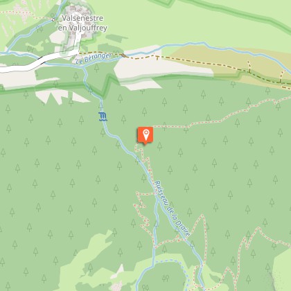
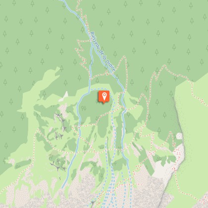
Combe Oursière
Description
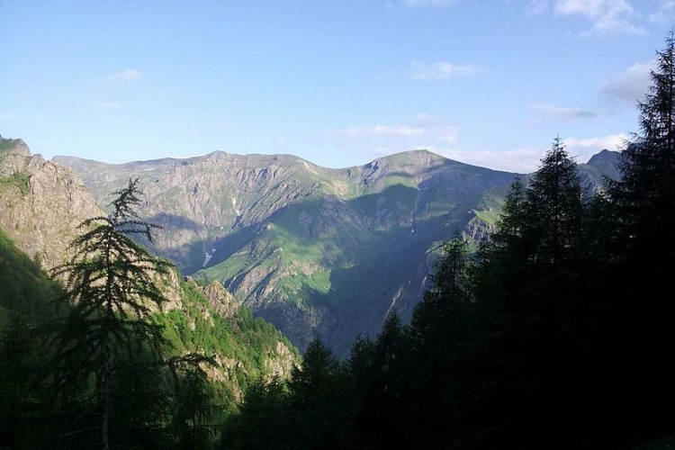
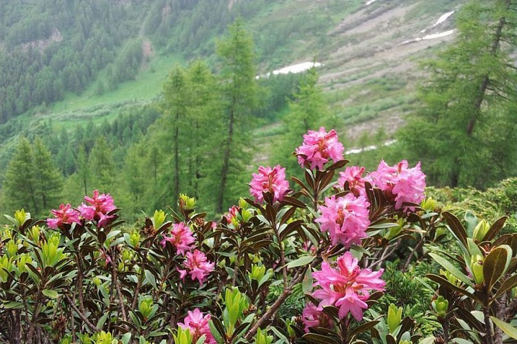
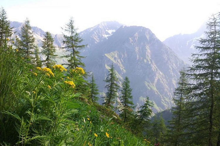
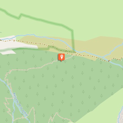
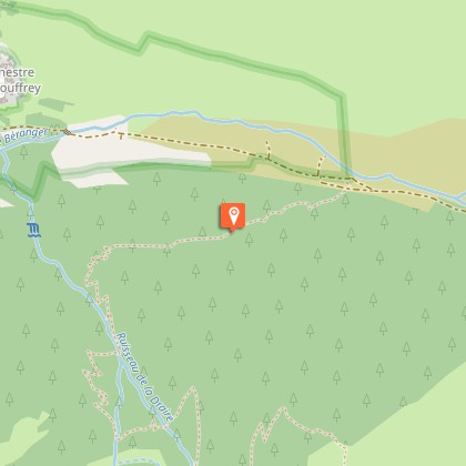
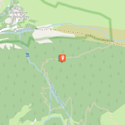
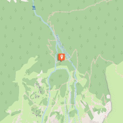
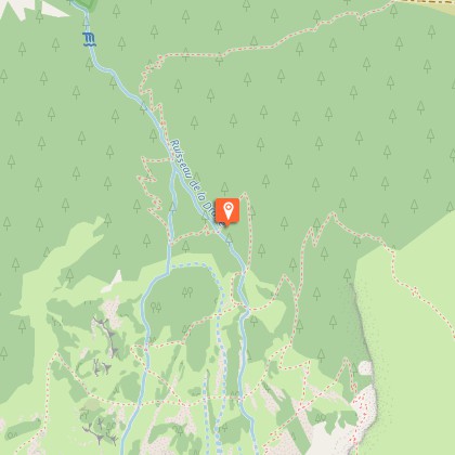
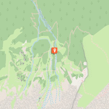
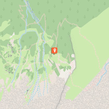
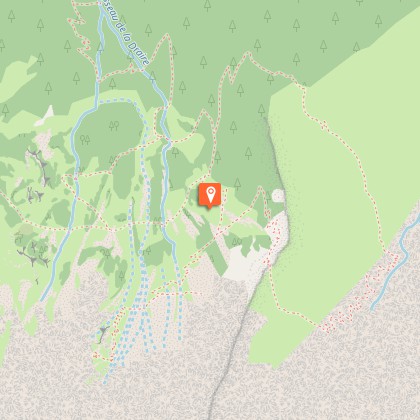
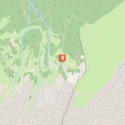
A hike with the colours of the larch, taking you to the small hanging valley of Combe Oursière.From the car park, take the track up to the Béranger valley as far as the edge of the Ecrins Park. At the National Park entrance panel is a place where tree trunks are kept, which is the starting point for a path running parallel with the track. Follow the path for about a hundred metres, then take the right-hand fork to cross Bot wood. The path runs under a rocky bar and twists and turns its way up to the Draire river gorge. The landscape then opens up, the forest giving way little by little to more isolated trees and lower-lying vegetation. At the crossroads with the Echarennes valley, turn right onto the path taking you up to the top of the Combe Oursière valley. After the half-barrel cabin, you can continue on across the valley along a small path that keeps to the same level. The path leads to the panorama over Pré Chrétien. You follow the same route on the way back.
Technical Information
Altimetric profile
Starting point
Steps
Additional information
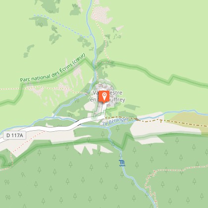
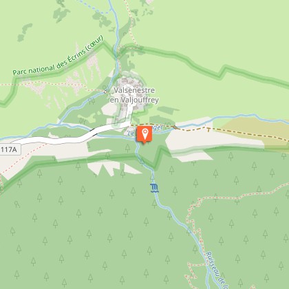
Departure
Village of Valsenestre, Valjouffrey
Ambiance
”Early in the morning, everything is quiet in the Combe Oursière valley. After making our way through a larch forest with its shimmering colours, and then crossing calluna heaths that turn red in autumn, we arrive in a stonier world. At the bottom of the corrie, chamois graze peacefully on the scree herbs."Marion Digier, regional park keeper in Valbonnais
Access
At Entraigues, take the D117 towards "Valjouffrey". Before the Chapelle-en-Valjouffrey bridge, follow the road going up to the left. The village of Valsenestre is at the end of the road.
Advised parking
Village of Valsenestre car park.
Public transport
Bus from La Mure to Entraigues (Transisere - line 4120). Change at "Entraigues Place" for the local Valjouffrey service (local bus for 8 passengers) to Le Désert-en-Valjouffrey.
Advice
Bivouac area for hikers 500 m upstream from the village of Valsenestre. Camping is forbidden by local decree in the rest of the Valjouffrey area.
Is in the midst of the park
The national park is an unrestricted natural area but subjected to regulations which must be known by all visitors.
