Alert
Alerts
Florac 160 km (on horseback)


Description
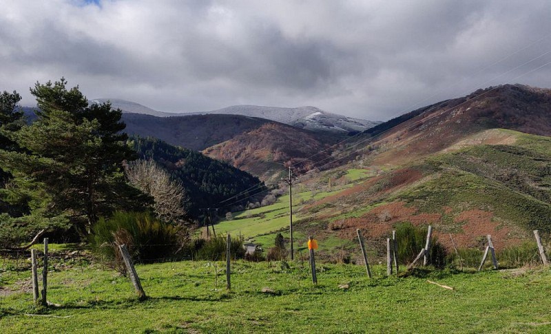
Without doubt the ultimate horse trail for getting to know the landscapes of the Cévennes National Park.
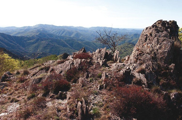
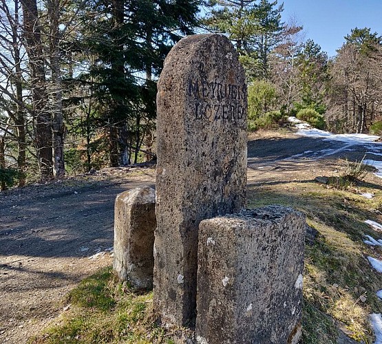
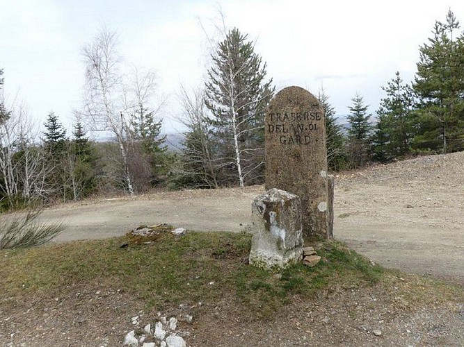
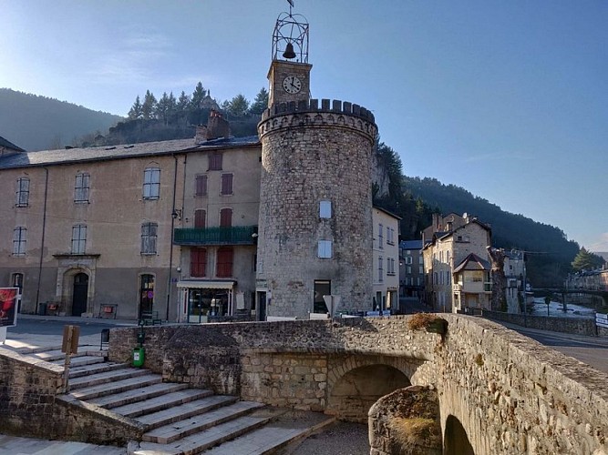
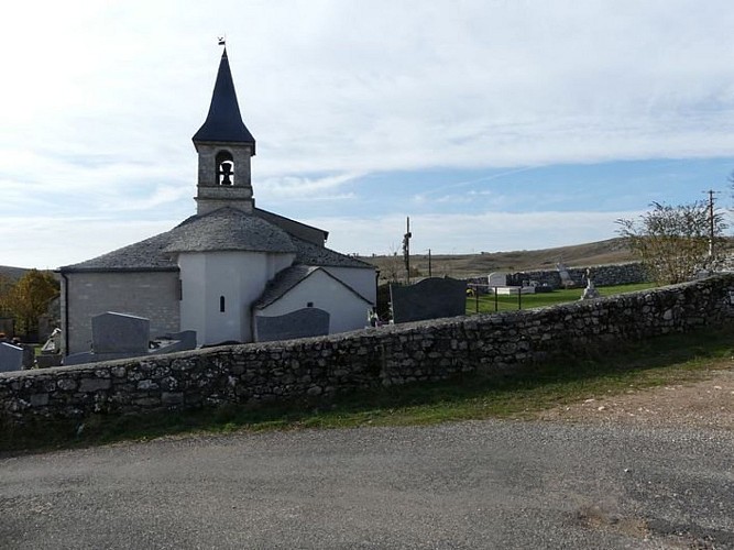
From Ispagnac, go through the village towards Florac. As you leave Ispagnac, take the D 907 bis to the first fork on your right. Take this lane and cross the river Tarn. Continue on the lane until you reach Biessette, Biesses, Fayet, Salièges and then Florac. From the former train station in Florac, take the former road below the N 106 towards Le Pont Neuf (where you can also go into Florac). Cross that bridge, then turn left towards St Jean du Gard. Cross the Barre bridge on your left and take the GR70 to Balazuègnes. Head up the small Briançon valley towards the Col de l'Oumenet pass. Go through Le Bouquet and continue to Barre des Cévennes. From there, head towards the Col des Faisses and then Col de Solpérière passes (GR7). Use an old local track to reach L'Hospitalet, and then take the former draille or drovers' road (GR7), the Col de Salidès pass to reach Aire de Côte. From Aire de Côte, head uphill to the summit of Mont Aigoual (GR66). From the summit, make for Prat Peyrot and then for La Serreyrède on the GR60. From La Serreyrède, go downhill to Le Devois (Camprieu), then uphill to La Croix de Fer; continue to Meyrueis via Bout de Côte (GR6). From Meyrueis, climb onto the Causse Méjean and continue to La Croix de la Croisette and then to La Tombe du Géant (GR6). Take the road for 2 km towards Drigas, and continue on a track on the right. At the centre of Drigas, take the fork towards Hures and then Le Fraisse. Go through Mas de Val and then downhill to Sainte-Enimie on the so-called “Camin Ferrat” track. Climb onto the Causse de Sauveterre using the former track, heading to Le Bac and then Champerboux (GR60). From Champerboux, go to Sauveterre and continue on to the Col de Montmirat pass via La Baraque de l'Estrade (GR44). Cross the N 106, ride along the D 35 and take a track going downhill to Les Combettes. From Les Combettes, go uphill again to Faux (GR 68), then fork off towards Les Laubies/Les Badieux to reach the buttes in Les Bondons before joining up again with the GR 68 heading downhill to Florac to the bridge over the Tarn.
Technical Information
Altimetric profile
Starting point
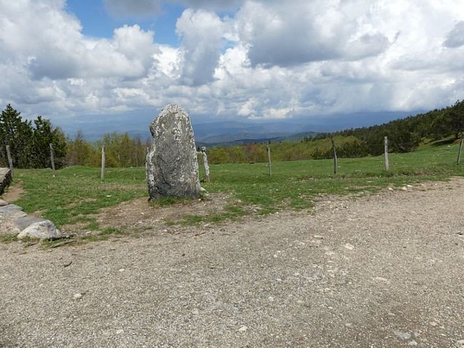
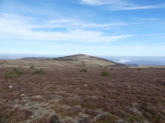
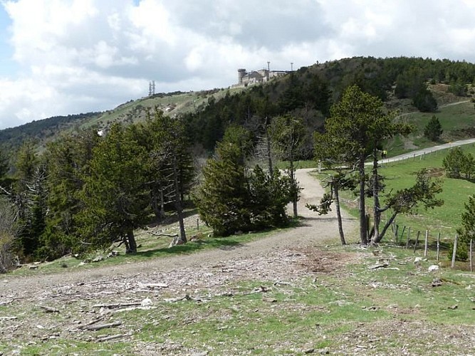
Points of interest

Additional information
Departure
Ispagnac
Arrival
Ispagnac
Ambiance
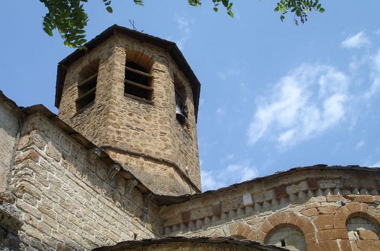
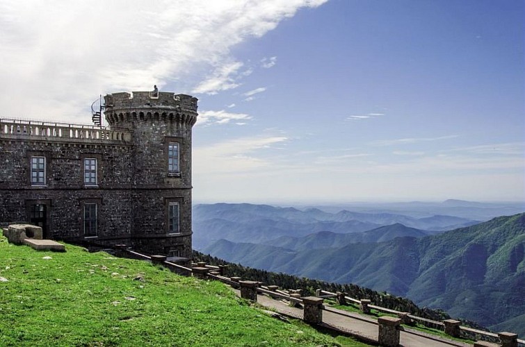
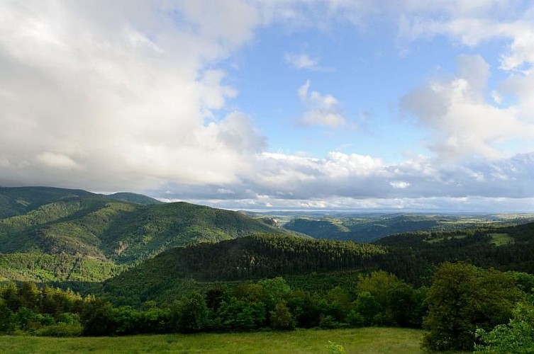
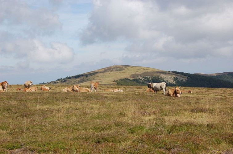
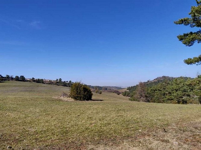
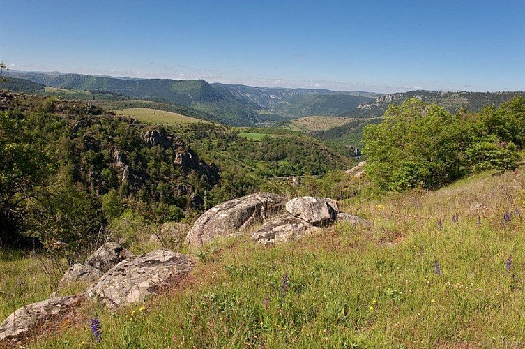
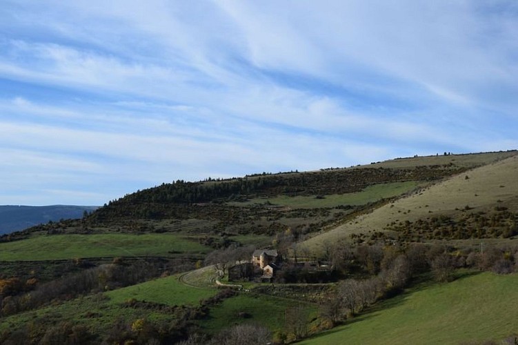
This trail takes you from the Cévenol valleys to the forested Aigoual massif, and from the arid plateau of the Causse Méjean and the vertiginous paths of the Gorges du Tarn to the granite solitude of Mont Lozère. Come and discover the route of the epic horse race, the Florac 160 km – your turn to follow in the traces of the legendary stallion Persik!
Access
From Mende or Alès on the N 106 to Ispagnac
Advised parking
Ispagnac
Advice
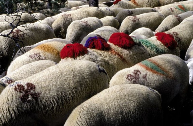
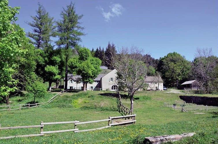
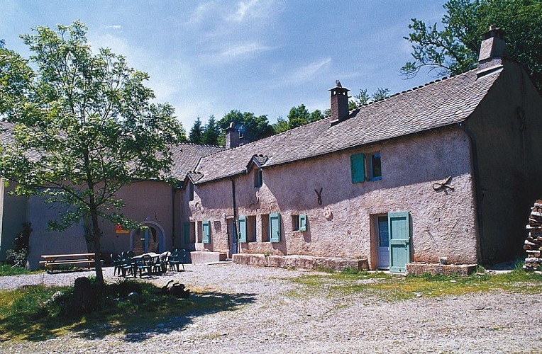
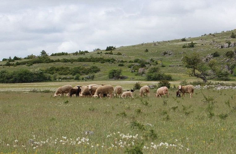
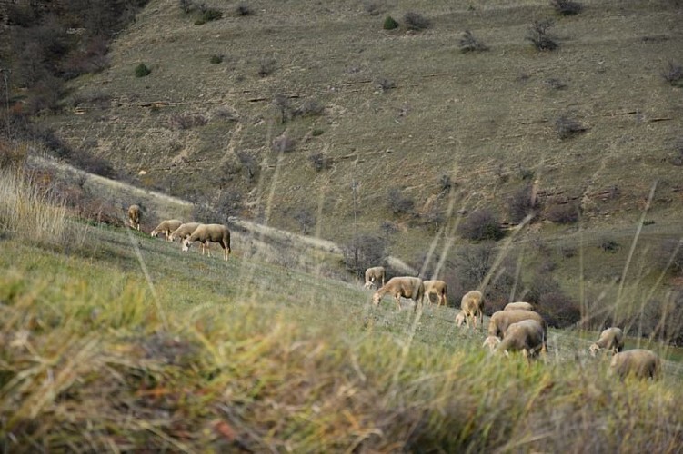
This trail goes through several sheep pens: please shut gates behind yourself. Keep dogs on a leash. The trail is way-marked in one direction only (clockwise). For overnight gites that accept horses, please contact the tourist offices in Florac and Meyrueis.
Is in the midst of the park
The national park is an unrestricted natural area but subjected to regulations which must be known by all visitors.
Data author
