Alert
Alerts
Type of practice
Walking
Medium
3h
Presentation
Map
Steps
Cirkwi brief's
Ratings and reviews
See around
Around the Château du Marais


Credit : Essonne Tourisme/RS
The Cirkwi brief
Explore Saint-Chéron: A Scenic Walk through History
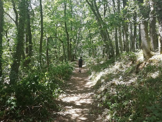
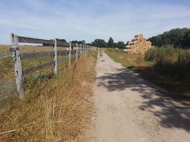
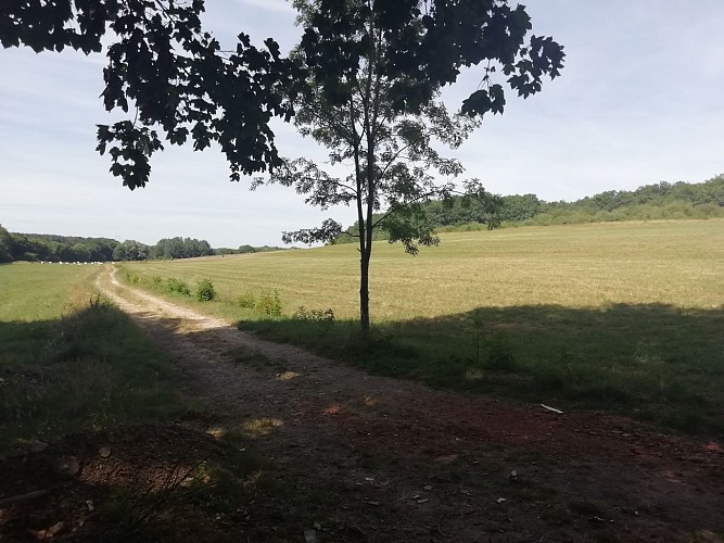
Nestled in the heart of the French countryside, the trek from Saint-Chéron to the captivating Château du Marais invites adventurers through a portal of time. Crafted by Essonne Tourisme, this journey is a harmonious blend of nature and history, promising a serene escape. Wander through lush forests before the path opens into vast, pastoral fields, leading your gaze towards the venerable château. As the terrain ascends, a panoramic vista of the Orge valley unfolds, offering a moment of awe and reflection. This route doesn’t just guide your feet; it carries your spirit through the serene beauty of France’s natural landscape.
Key Stats: Distance and Elevation
The path from Saint-Chéron encapsulates a distance of approximately 11.8 km, navigating through a minimum altitude of 63 meters and reaching a peak at 167 meters. The route demands a total positive elevation gain of 263 meters, matched by an equivalent descent, making for a balanced trek. This information underscores the moderate intensity of the journey, positioning it as suitable for regular walkers seeking a blend of challenge and enjoyment in the scenic outdoors of Essonne.
Seasonal Guide for Travellers
Essonne transitions beautifully through the seasons, each offering unique charms for this route. In spring, the blooming flora and mild temperatures make for an idyllic walk. Summer presents the lushness of full greenery but advises an early start to avoid midday heat. Autumn transforms the landscape into a canvas of fiery hues, an ideal backdrop for photographers. Winter, while colder, often promises crisp air and less crowded paths. Regardless of the season, sturdy footwear and weather-appropriate clothing are essential. Additionally, always carry water and a light snack.
Essonne’s Cultural Tapestry
Saint-Chéron, the starting point of our journey, resides within Essonne, a department rich in historical texture and cultural depth. Essonne stands as a testament to France's intricate past, from ancient Roman settlements to pivotal events in French Renaissance history. It is a region where every stone and path tells a story, making it a fertile ground for explorers and history enthusiasts alike. The Château du Marais itself is a magnificent illustration of this historical richness, encapsulating centuries of French architectural evolution and aristocratic life.
Climatic Conditions and Best Visit Times
The climate of Essonne is predominantly temperate, with mild differences between the seasons. Spring (March to May) and autumn (September to November) offer the most agreeable conditions for exploring, with mild temperatures and reduced precipitation. These periods promise an engaging experience, displaying the vibrant seasonal transitions of the regional flora and fauna. However, visitors in summer should prepare for warmer days, while those in winter can expect cooler temperatures, potentially below freezing in the evenings. Optimal planning involves checking short-term forecasts and dressing in layers to adapt to the day's conditions.
Automatically generated.
Technical Information
Walking
Difficulty
Medium
Duration
3h
(1d)
Dist.
12 km
Type of practice
Walking
Medium
3h
Show more
Altimetric profile
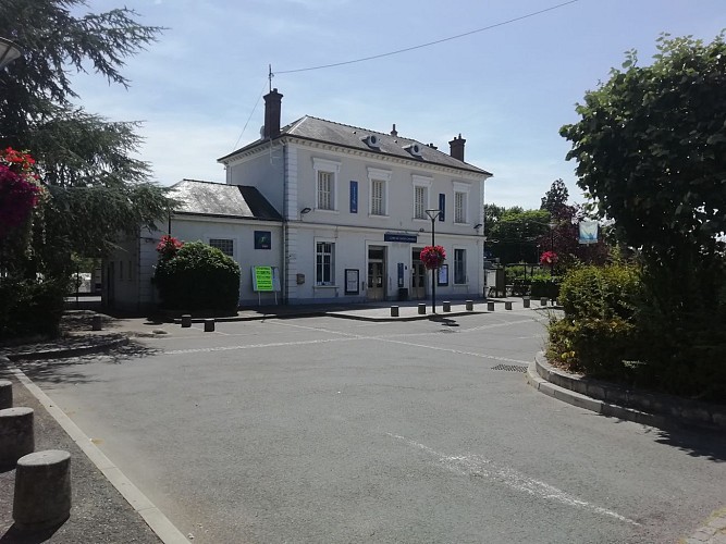
Starting point
7
Place de la Gare
,
91530
Saint-Chéron
Lat : 48.55152Lng : 2.12606
Steps
Data author

proposed by
Essonne Tourisme
19 rue des Mazières 91000 Evry-Courcouronnes France
Ratings and reviews
To see around