Alert
Alerts
Description
Map
Ratings and reviews
See around
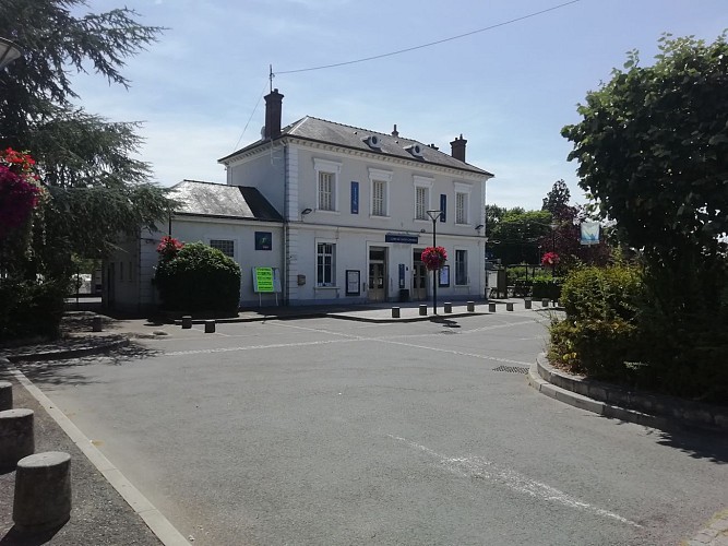
Gare de Saint-Chéron
Credit
: Essonne Tourisme/RS
Description
Remonter l’avenue de la Gare, traverser la rue Aristide Briand pour poursuivre par la ruelle de l’Eglise-de-Felix. Prendre à droite la rue Charles de Gaulle sur 30m puis monter par le sente des Ecoliers à gauche. Couper la route de Rambouillet vers la gauche et emprunter à droite la rue Henri-Louin. Continuer par le chemin qui longe le cimetière.
Technical Information
Lat, Lng
48.551412.12511
Coordinates copied
Altitude
77 m
Uncertain state
Point of Interest updated on 03/11/2021
This point of interest hasn't been updated recently, which could compromise the reliability of this information. We recommend that you inquire and take all necessary precautions. If you're the author, please verify your information.
Altimetric profile
Data author

proposed by
Essonne Tourisme
19 rue des Mazières 91000 Evry-Courcouronnes France
Ratings and reviews
To see around