Alert
Alerts
Description
Map
Ratings and reviews
See around
Saint-Chéron - Route de Rambouillet
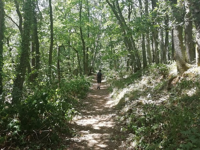
Credit
: Essonne Tourisme/RS
Description
Traverser la route de Rambouillet et poursuivre tout droit sur le chemin. Le suivre dans la forêt. Après la barrière en métal, prendre le chemin à gauche. Attention, ce chemin peut être boueux après de fortes pluies, le suivre sur 1,7 km . Tourner à droite en suivant le balisage blanc-rouge et entamer une longue descente régulière. Suivre à gauche la D132 sur 80 m puis la D27 sur la gauche. Préférer le bas coté droit de la route où vous trouverez un sentier parallèle à la route pour cheminer en toute sécurité. Après avoir franchi le pont, prendre le deuxième chemin en faux plat montant sur la droite.
Technical Information
Lat, Lng
48.55684842.1163273
Coordinates copied
Altitude
135 m
Uncertain state
Point of Interest updated on 03/11/2021
This point of interest hasn't been updated recently, which could compromise the reliability of this information. We recommend that you inquire and take all necessary precautions. If you're the author, please verify your information.
Altimetric profile
Data author

proposed by
Essonne Tourisme
19 rue des Mazières 91000 Evry-Courcouronnes France
Ratings and reviews
To see around