Alert
Alerts
Description
Map
Ratings and reviews
See around
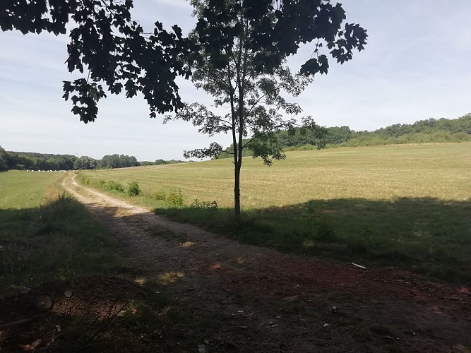
Prairie de Baville
Credit
: Essonne Tourisme/RS
Description
Traverser la route sur la droite pour entamer la descente. Couper la D27 et continuer tout droit. Après avoir traversé un petit pont, entamer la montée sur Saint-Chéron à travers champs. Le chemin devient route. À l’intersection, emprunter la D132 vers la gauche sur 50m puis suivre le chemin herbeux montant sur la droite. Au sommet, le chemin débouche sur la D132. Suivre la route à droite sur 50m, puis prendre à gauche le chemin balisé blanc et rouge.
Technical Information
Lat, Lng
48.57787062.1145034
Coordinates copied
Altitude
90 m
Uncertain state
Point of Interest updated on 03/11/2021
This point of interest hasn't been updated recently, which could compromise the reliability of this information. We recommend that you inquire and take all necessary precautions. If you're the author, please verify your information.
Altimetric profile
Data author

proposed by
Essonne Tourisme
19 rue des Mazières 91000 Evry-Courcouronnes France
Ratings and reviews
To see around