Alert
Alerts
Saint-Jacut's grand tour
Description
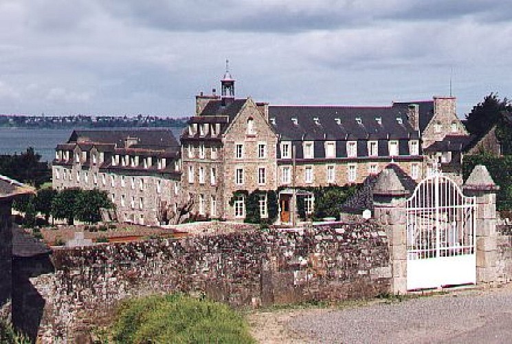
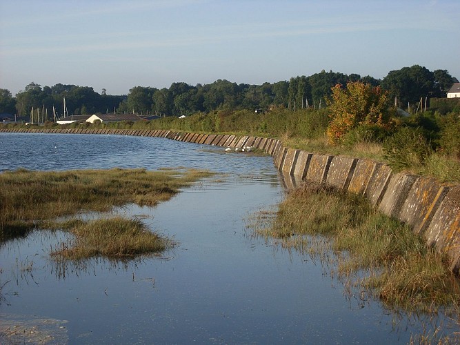
An island joins itself to land
Island, isn’t really no more
But the essential still remains...
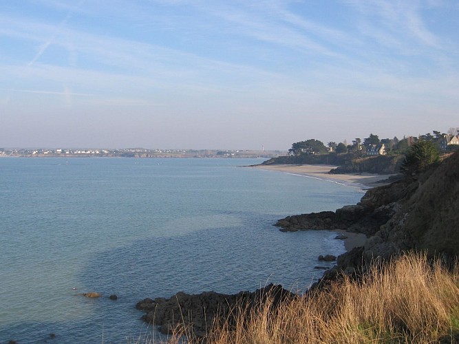
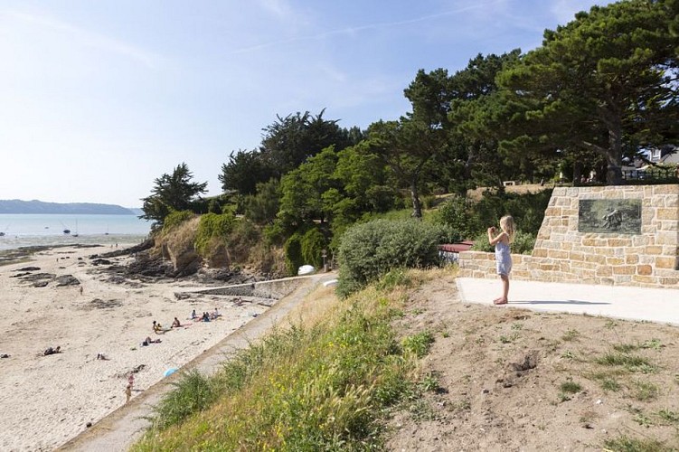
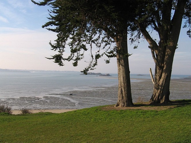
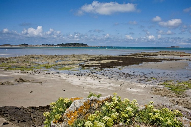
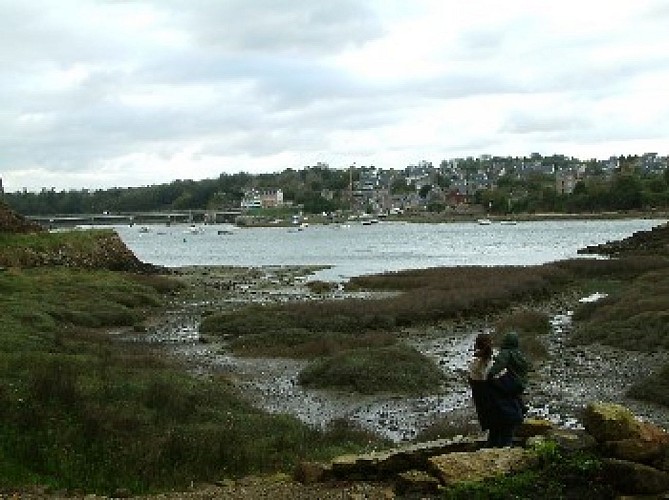
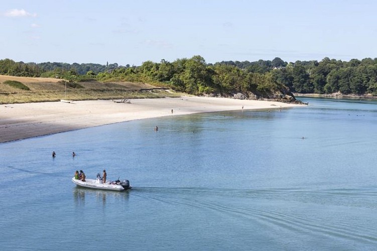
The sea is ever-present
North, West,South,East,
She left her mark on nature
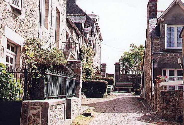
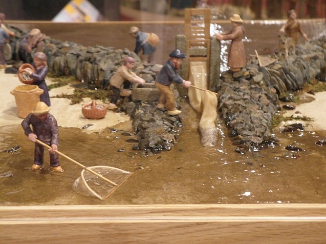
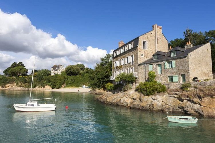
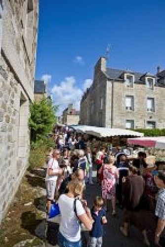
She left her mark on men
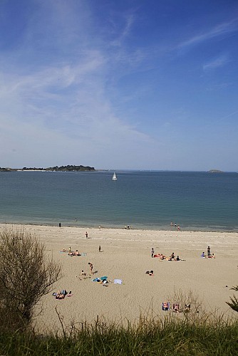
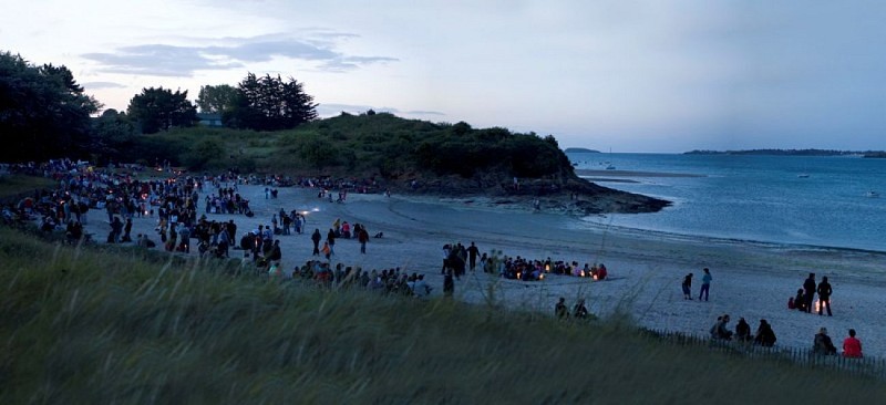
Summer for her beaches
Winter for her landscapes
All year round for her breath of fresh air
Saint-Jacut wants itself intimate and friendly, opened and secretive, above all ___
See you soon for a singular holiday.
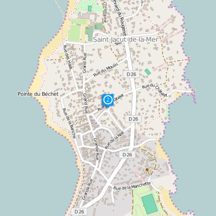
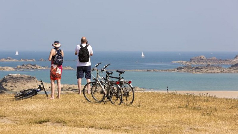
This great tour of the peninsula is meant for hikers; it can be discovered through two distinct paths of a 6km/3.7miles distance.
Let yourself be energised and jump in a great bath of sea spray, sun and, according to the season, sea water.
Have a nice discovery
(The suggested circuits are given as an indication and do not take into account the possible terrain or environment evolution. The users’ personal responsibility is engaged by the use of these circuits, the office de tourisme disengages itself from any responsibility regarding the use of the maps and possible accidents that may occur on the proposed itinerary.)
Technical Information
Altimetric profile
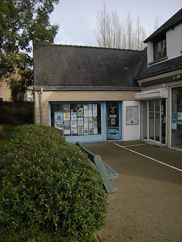
Starting point
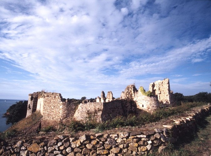
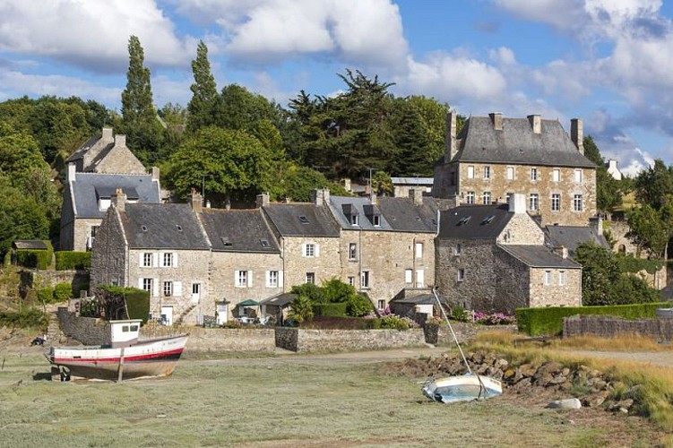
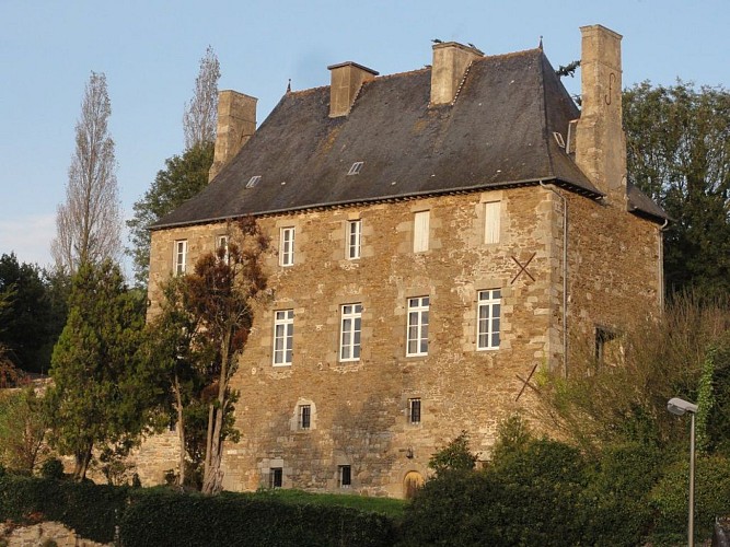
Steps
Points of interest
Additional information
Direction signs
Apart from a small junction section, the whole itinerary can be found on the GR34, also called “chemin des douaniers”, marked out in white and red.
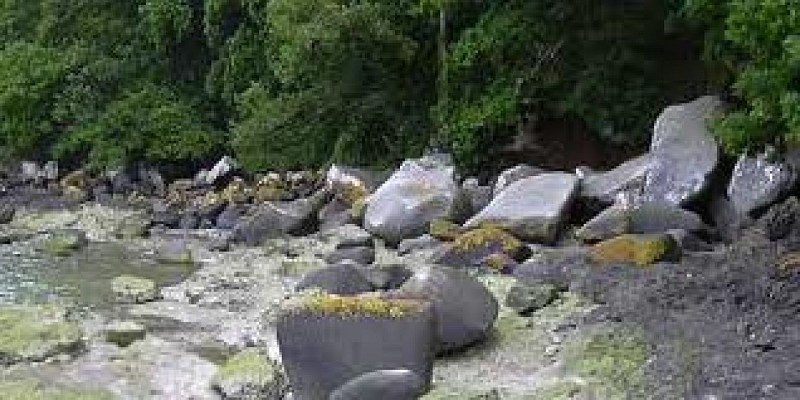
It is possible, at low tide (you must get the details on how to), to go round the peninsula through its beaches. It’s a little shorter but also easier.
Data author
