Allarme
Allarmi
Tipo di pratica
In bici da corsa
Difficile
7h30mn
Presentazione
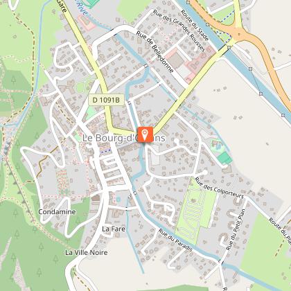
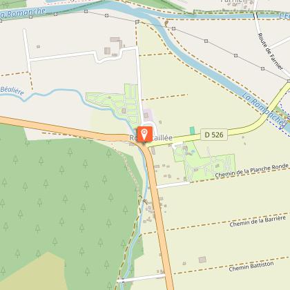
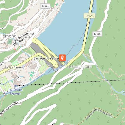
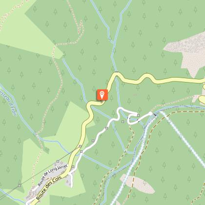
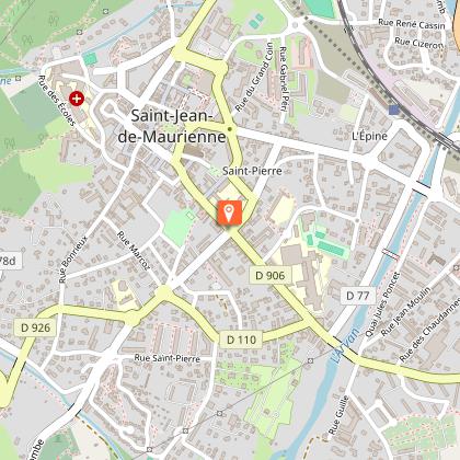
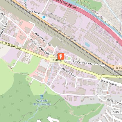
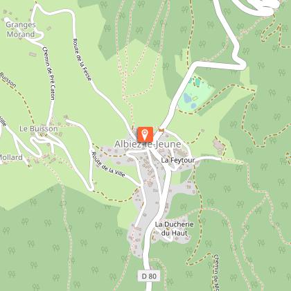
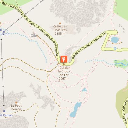
Mappa
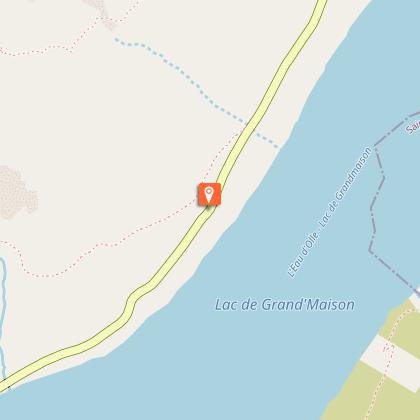
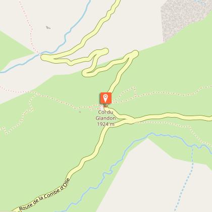
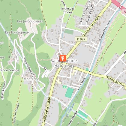
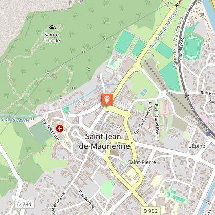
Tappe
Valutazioni e recensioni
Vedi nei dintorni
La boucle des cols


IGN Carte

3335ETR - LE BOURG-D'OISANS L'ALPE D'HUEZ RESISTANTE GRANDES ROUSSES SEPT LAUX
Editore : IGN
Collezione : TOP 25 RÉSISTANTE
Scala : 1:25 000
17.20€

3336ETR - LES DEUX ALPES RESISTANTE OLAN MUZELLE PARC NATIONAL DES ÉCRINS
Editore : IGN
Collezione : TOP 25 RÉSISTANTE
Scala : 1:25 000
17.20€

3335ET - LE BOURG-D'OISANS L'ALPE D'HUEZ GRANDES ROUSSES SEPT LAUX
Editore : IGN
Collezione : TOP 25 ET SÉRIE BLEUE
Scala : 1:25 000
13.90€

3336ET - LES DEUX ALPES OLAN MUZELLE PARC NATIONAL DES ÉCRINS
Editore : IGN
Collezione : TOP 25 ET SÉRIE BLEUE
Scala : 1:25 000
13.90€

TOP75006 - MASSIF DES ECRINS OISANS CHAMPSAUR
Editore : IGN
Collezione : TOP 75
Scala : 1:75 000
9.80€

TOP100D38 - ISÈRE GRENOBLE VIENNE PARC NATIONAL DES ÉCRINS PARC NATUREL RÉGIONAL DU VERCORS
Editore : IGN
Collezione : TOP 100
Scala : 1:100 000
8.40€

TOP100D73 - SAVOIE CHAMBÉRY ALBERTVILLE PARC NATIONAL DE LA VANOISE PNR DU MASSIF DES BAUGES
Editore : IGN
Collezione : TOP 100
Scala : 1:100 000
8.40€

202 JURA ALPES DU NORD
Editore : IGN
Collezione : TOP 200
Scala : 1:200 000
6.80€

D04-05 ALPES-DE-HAUTE-PROVENCE HAUTES-ALPES
Editore : IGN
Collezione : CARTES DÉPARTEMENTALES IGN
Scala : 1:150 000
5.90€

D38 ISÈRE
Editore : IGN
Collezione : CARTES DÉPARTEMENTALES IGN
Scala : 1:150 000
5.90€

NR14 AUVERGNE-RHÔNE-ALPES RECTO/VERSO MASSIF CENTRAL
Editore : IGN
Collezione : CARTES RÉGIONALES IGN
Scala : 1:250 000
6.80€

NR16 PROVENCE-ALPES-CÔTE D'AZUR
Editore : IGN
Collezione : CARTES RÉGIONALES IGN
Scala : 1:250 000
6.80€

NR15 AUVERGNE-RHÔNE-ALPES RECTO/VERSO MASSIF ALPIN
Editore : IGN
Collezione : CARTES RÉGIONALES IGN
Scala : 1:250 000
6.80€

EUROPE
Editore : IGN
Collezione : DÉCOUVERTE DES PAYS DU MONDE IGN
Scala : 1:2 500 000
7.00€
Informazioni tecniche
In bici da corsa
Difficoltà
Difficile
Durata
7h30mn
Dist.
150 km
Tipo di pratica
In bici da corsa
Difficile
7h30mn
Mostra di più
Profilo altimetrico
Punto di partenza
Mas du Plan
,
38520
Le Bourg-d'Oisans
Lat : 45.054787Lng : 6.031618
Tappe

Informazioni aggiuntive
Environments
Montagna
Updated by
Oisans Tourisme - 15/10/2025
www.bike-oisans.com
Report a problem
Contact
Phone : 04 76 80 03 25
Email : info@oisans.com
Website : https://www.bike-oisans.com
Autore dei dati

proposto da
Oisans Tourisme
Valutazioni e recensioni
Da vedere nei dintorni