Allarme
Allarmi
Tipo di pratica
In bici da corsa
Difficile
3h45mn
Presentazione
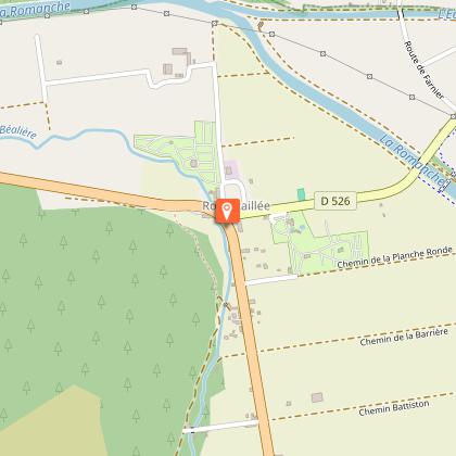
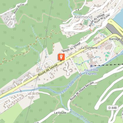
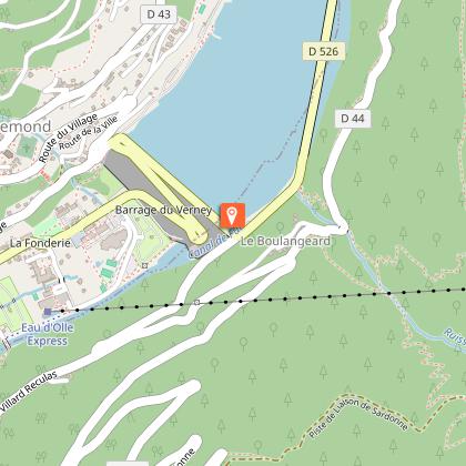
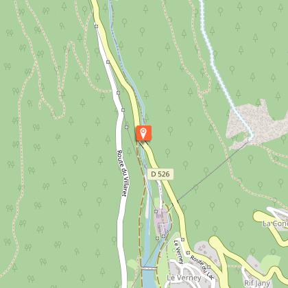
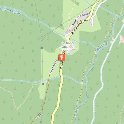
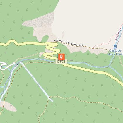
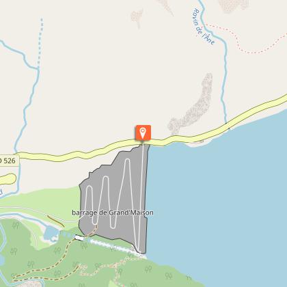
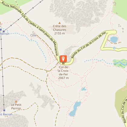
Mappa
Tappe
Valutazioni e recensioni
Vedi nei dintorni
Col de la Croix de Fer - Col du Glandon
Informazioni tecniche
In bici da corsa
Difficoltà
Difficile
Durata
3h45mn
Dist.
80 km
Tipo di pratica
In bici da corsa
Difficile
3h45mn
Mostra di più
Profilo altimetrico
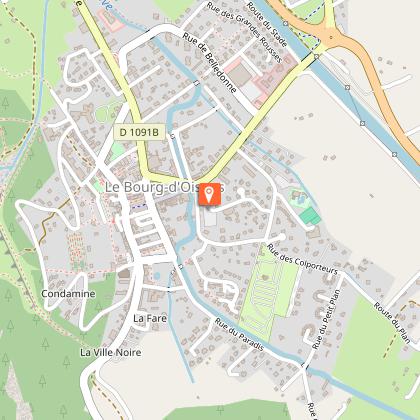
Punto di partenza
Mas du Plan
,
38520
Le Bourg-d'Oisans
Lat : 45.054787Lng : 6.031618
Tappe
Data e ora
- Dal 01/05/2026 al 15/11/2026
- Dal 01/05/2027 al 15/11/2027
Informazioni aggiuntive
Environments
Montagna
Updated by
Oisans Tourisme - 24/06/2026
www.bike-oisans.com
Report a problem
Contact
Phone : 04 76 80 03 25
Email : info@oisans.com
Website : https://www.bike-oisans.com
Autore dei dati

proposto da
Oisans Tourisme
Valutazioni e recensioni
Da vedere nei dintorni