Alerta

Alertas

Para ver alrededor
Ver más
Abrir
Cerrar
Mostrar
Mostrar
Mostrar
Mostrar
Mostrar
Mostrar
Mostrar
Mostrar
Mostrar
Mostrar
Mostrar

Oups... Parece que Cirkwi no tiene permiso para usar tu ubicación.

Presentación
Descripción
Mapa
Pasos
Puntos de interés
Calificaciones y reseñas
Ver alrededor

De Morlaàs à Lescar

Descripción

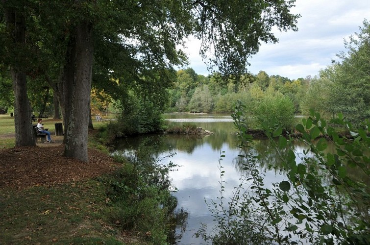
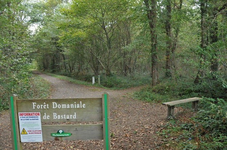
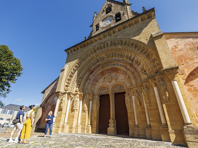
Si esta etapa une dos obras maestras del arte románico, la iglesia de Sainte-Foy de Morlaàs a la catedral de Notre-Dame de Lescar, también cuenta con un patrimonio natural muy interesante a pesar de su proximidad a la ciudad de Pau. La vista de los Pirineos es omnipresente en un día claro, y podrá descubrir el bosque de Bastardos, el pulmón verde de la Lande du Pont Long, recorrido por miles de caminantes, peregrinos y pastores.

Informaciónes técnicas

A pie
Dificultad
Medio
Duración
5h10mn
Dist.
20 km
Mostrar más

Perfil altimétrico

Punto de partida

64160   MORLAAS
Lat : 43.3453019Lng : -0.26266

Pasos

image du object
3

Lake Carolins

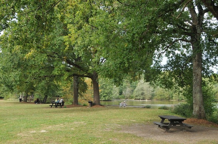
Here, take the tarmac road to the left (Compostelle is given as 930 km away...) for 250 m, then turn right onto the 2nd allée Ouest (or Pichadet), at the corner of the forest house. At the end of the lane, without going through the wooden barrier, follow the path to the left, along the edge of the wood. After a duckboard, cross the 1st lane to the west and, of the two paths opposite (bench), choose the one on the right. Continue right into the woods until you reach a bend in the road. At this junction, take the gravel path on the left (metal barrier); it leads to a bridge over the A64 and the Pau ring road. On the other side, keep to the circular gravel track alongside the racecourse. Near the pediments, go through the wooden chicane and join the Avenue du Cami Salié. Follow this road to the right, staying on the pedestrian/cycle path under the trees. After a chicane, cross the racecourse car park, staying on course. Cross the junction with the D834 (14.4 km / 3h40), taking care to keep out of the way of traffic (pedestrian crossings), and continue straight ahead along the Chemin Salié (towards the ZAC du Perlic in Lons). Avoid the next roundabout by turning right at a pedestrian crossing, then continue straight ahead along the avenue's pavement. Leave Boulevard Blériot on your left and walk straight on towards the last houses. When the road bends at right angles between two fields (signposted Lons exit), leave the tarmac for the gravel path on the left. It runs alongside a few villas and then curves 90° to the right. Walk straight ahead until you find a footbridge over the Ousse des Bois stream. Shortly afterwards, walk alongside Lac des Carolins.

- Tourisme Béarn Pyrénées Pays basque -
Consulter

Información adicional

Contact

Teléfono fijo : +33 5 59 33 62 25
E-mail : contact@tourisme-nordbearn.fr
Sitio web (URL) : www.tourisme-nordbearn.fr/

Balisage

Blanco y rojo (GR®)

Typologie de l'itinéraire

Camino de senderismo
Sendero de Gran Recorrido (GR®)

Thèmes

Compostela

Marques et labels

GR® homologué FFRandonnée

Calificaciones y reseñas

Para ver alrededor
Ver más
Abrir
Cerrar
Mostrar
Mostrar
Mostrar
Mostrar
Mostrar
Mostrar
Mostrar
Mostrar
Mostrar
Mostrar
Mostrar
¡Precaución!
No tenemos información sobre la dificultad de este circuito. Es posible que encuentre algunas sorpresas en el camino. Antes de salir, no dude en informarse más y tomar todas las precauciones necesarias. ¡Buen viaje! 🌳🥾